Directions to Rooftech,Llc (Baltimore County) with public transportation
The following transit lines have routes that pass near Rooftech,Llc
 Bus: 73, CITYLINK YELLOW, 32.
How to get to Rooftech,Llc by bus?
Click on the bus route to see step by step directions with maps, line arrival times and updated time schedules.
From Fells Point, Baltimore
47 minFrom Medstar Union Memorial Hospital, Baltimore
68 minFrom Social Security Administration (Robert M. Ball Building), Baltimore County
67 minFrom Baltimore Soundstage, Baltimore
40 minFrom Clarence M. Mitchell, Jr. Courthouse, Baltimore
46 minFrom B&O Railroad Museum, Baltimore
42 minFrom Giant Food Stores, Baltimore
58 minFrom Federal Hill, Baltimore
46 minFrom Hampden, Baltimore
77 minFrom Johns Hopkins University, Baltimore
70 min
Bus stops near Rooftech,Llc in Baltimore County
Light Rail stations near Rooftech,Llc in Baltimore County
- Baltimore Highlands, 27 min walk,VIEW
Bus lines to Rooftech,Llc in Baltimore County
What are the closest stations to Rooftech,Llc?
The closest stations to Rooftech,Llc are:
- Hollins Ferry Rd & 5th Ave Sb is 150 yards away, 2 min walk.
- Tulip Av & Daisey Av Nb Ns is 610 yards away, 8 min walk.
- Daisy Ave & Tulip Ave FS Wb is 756 yards away, 9 min walk.
- Baltimore Highlands is 2247 yards away, 27 min walk.
Which bus lines stop near Rooftech,Llc?
These bus lines stop near Rooftech,Llc: 73, CITYLINK YELLOW.
What’s the nearest light rail station to Rooftech,Llc in Baltimore County?
The nearest light rail station to Rooftech,Llc in Baltimore County is Baltimore Highlands. It’s a 27 min walk away.
What’s the nearest bus station to Rooftech,Llc in Baltimore County?
The nearest bus station to Rooftech,Llc in Baltimore County is Hollins Ferry Rd & 5th Ave Sb. It’s a 2 min walk away.
What time is the first light rail to Rooftech,Llc in Baltimore County?
The LIGHT RAILLINK is the first light rail that goes to Rooftech,Llc in Baltimore County. It stops nearby at 4:22 AM.
What time is the last light rail to Rooftech,Llc in Baltimore County?
The LIGHT RAILLINK is the last light rail that goes to Rooftech,Llc in Baltimore County. It stops nearby at 1:01 AM.
What time is the first bus to Rooftech,Llc in Baltimore County?
The CITYLINK YELLOW is the first bus that goes to Rooftech,Llc in Baltimore County. It stops nearby at 3:35 AM.
What time is the last bus to Rooftech,Llc in Baltimore County?
The 73 is the last bus that goes to Rooftech,Llc in Baltimore County. It stops nearby at 2:59 AM.
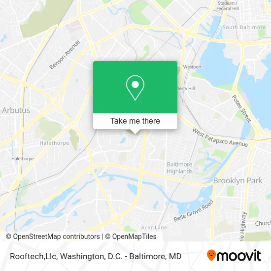
See Rooftech,Llc, Baltimore County, on the map
Public Transit to Rooftech,Llc in Baltimore County
Wondering how to get to Rooftech,Llc in Baltimore County? Moovit helps you find the best way to get to Rooftech,Llc with step-by-step directions from the nearest public transit station.
Moovit provides free maps and live directions to help you navigate through your city. View schedules, routes, timetables, and find out how long does it take to get to Rooftech,Llc in real time.
Looking for the nearest stop or station to Rooftech,Llc? Check out this list of stops closest to your destination: Hollins Ferry Rd & 5th Ave Sb; Tulip Av & Daisey Av Nb Ns; Daisy Ave & Tulip Ave FS Wb; Baltimore Highlands.
Bus: 73, CITYLINK YELLOW, 32.
Want to see if there’s another route that gets you there at an earlier time? Moovit helps you find alternative routes or times. Get directions from and directions to Rooftech,Llc easily from the Moovit App or Website.
We make riding to Rooftech,Llc easy, which is why over 1.7 million users, including users in Baltimore County, trust Moovit as the best app for public transit. You don’t need to download an individual bus app or train app, Moovit is your all-in-one transit app that helps you find the best bus time or train time available.
For information on prices of bus and light rail, costs and ride fares to Rooftech,Llc, please check the Moovit app.
Use the app to navigate to popular places including to the airport, hospital, stadium, grocery store, mall, coffee shop, school, college, and university.
Rooftech,Llc Address: 744 5th Ave street in Baltimore County
- Cvs Pharmacy,
- Coinhub,
- Save Mart,
- St Francis Of Assisi Chapel & Mission,
- Circle Terrace,
- Lansdowne High School,
- Kessler Park Senior Housing,
- Mkr Kardell Llc,
- D & E Pro Piano Movers,
- Water's Edge Townhomes,
- Tangaraha Organic Farm And Ranch,
- Amazon Flex Warehouse,
- Overhead Door Company Of Baltimore,
- Primped & Pawlished (Grooming by Lindsey),
- Vac Llc,
- Ymca Headstart,
- Life Fellowship Church,
- Lansdowne MD USA,
- English Consul Christian Church (Disciples Of Christ),
- F And B Electric
Places Near Rooftech,Llc (Baltimore County)
- National Zoo, Washington,
- Washington DC VA Medical Center, Washington,
- National Theatre, Washington,
- Camden Yards, Baltimore,
- Rock Creek Tennis Center, Washington,
- Basilica of the National Shrine, Washington,
- Warner Theatre, Washington,
- The Anthem, Washington,
- Sibley Memorial Hospital, Washington,
- Pennsylvania Ave NW (3rd st and pennsylvania), Washington,
- Georgetown, Washington,
- M&T Bank Stadium, Baltimore,
- Westfield Montgomery Mall, Montgomery County,
- Washington National Cathedral, Washington,
- National Museum of African American History and Culture, Washington,
- Marriott Marquis Washington, DC, Washington,
- Capital One Arena, Washington,
- PG Mall, Prince George's County,
- Amazon Hq2, Arlington County,
- Museum Of The Bible, Washington
How to get to popular places in Washington, D.C. - Baltimore, MD with public transit
Get around Baltimore County by public transit!
Traveling around Baltimore County has never been so easy. See step by step directions as you travel to any attraction, street or major public transit station. View bus and train schedules, arrival times, service alerts and detailed routes on a map, so you know exactly how to get to anywhere in Baltimore County.
When traveling to any destination around Baltimore County use Moovit's Live Directions with Get Off Notifications to know exactly where and how far to walk, how long to wait for your line, and how many stops are left. Moovit will alert you when it's time to get off — no need to constantly re-check whether yours is the next stop.
Wondering how to use public transit in Baltimore County or how to pay for public transit in Baltimore County? Moovit public transit app can help you navigate your way with public transit easily, and at minimum cost. It includes public transit fees, ticket prices, and costs. Looking for a map of Baltimore County public transit lines? Moovit public transit app shows all public transit maps in Baltimore County with all Bus, Train, Metro, Light Rail and Ferry routes and stops on an interactive map.
Washington, D.C. - Baltimore, MD has 5 transit type(s), including: Bus, Train, Metro, Light Rail and Ferry, operated by several transit agencies, including WMATA, Montgomery County Ride On, Fairfax Connector, TheBus, PRTC, DASH - Alexandria, Arlington Transit (ART), RTA of Central Maryland, MDOT MTA, MDOT MTA Light RailLink, MDOT MTA Commuter Bus, MDOT MTA Local Bus, FXBGO!, Virginia Railway Express (VRE) and MARC