How to get to Rory O'Moore Memorial Park by bus?
Click on the bus route to see step by step directions with maps, line arrival times and updated time schedules.
From Westchester Mall, White Plains
54 minFrom White Plains, NY, White Plains
50 minFrom One Larkin Plaza, Yonkers
52 minFrom Montefiore Medical Center, Bronx
45 minFrom Cross County Mall, Yonkers
30 minFrom Cross County Shopping Center, Yonkers
30 minFrom Regeneron Pharmaceuticals Inc, Tarrytown
99 minFrom Van Cortlandt Park, Bronx
67 minFrom Co-Op City, Bronx
98 minFrom Montefiore Hospital, Bronx
46 min
How to get to Rory O'Moore Memorial Park by train?
Click on the train route to see step by step directions with maps, line arrival times and updated time schedules.
Bus stop near Rory O'Moore Memorial Park in Yonkers
- Central Park Ave @ Roxbury Dr, 11 min walk,VIEW
Train station near Rory O'Moore Memorial Park in Yonkers
- Tuckahoe, 27 min walk,VIEW
Bus lines to Rory O'Moore Memorial Park in Yonkers
What are the closest stations to Rory O'Moore Memorial Park?
The closest stations to Rory O'Moore Memorial Park are:
- Central Park Ave @ Roxbury Dr is 843 yards away, 11 min walk.
- Tuckahoe is 2316 yards away, 27 min walk.
Which bus lines stop near Rory O'Moore Memorial Park?
These bus lines stop near Rory O'Moore Memorial Park: 20, 21.
Which train line stops near Rory O'Moore Memorial Park?
2 (528#| Grand Central)
What’s the nearest train station to Rory O'Moore Memorial Park in Yonkers?
The nearest train station to Rory O'Moore Memorial Park in Yonkers is Tuckahoe. It’s a 27 min walk away.
What’s the nearest bus station to Rory O'Moore Memorial Park in Yonkers?
The nearest bus station to Rory O'Moore Memorial Park in Yonkers is Central Park Ave @ Roxbury Dr. It’s a 11 min walk away.
What time is the first train to Rory O'Moore Memorial Park in Yonkers?
The 2 is the first train that goes to Rory O'Moore Memorial Park in Yonkers. It stops nearby at 4:54 AM.
What time is the last train to Rory O'Moore Memorial Park in Yonkers?
The 2 is the last train that goes to Rory O'Moore Memorial Park in Yonkers. It stops nearby at 2:40 AM.
What time is the first bus to Rory O'Moore Memorial Park in Yonkers?
The 20 is the first bus that goes to Rory O'Moore Memorial Park in Yonkers. It stops nearby at 5:15 AM.
What time is the last bus to Rory O'Moore Memorial Park in Yonkers?
The 20 is the last bus that goes to Rory O'Moore Memorial Park in Yonkers. It stops nearby at 1:32 AM.
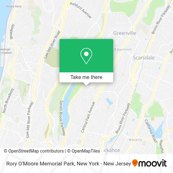
See Rory O'Moore Memorial Park, Yonkers, on the map
Public Transit to Rory O'Moore Memorial Park in Yonkers
Wondering how to get to Rory O'Moore Memorial Park in Yonkers? Moovit helps you find the best way to get to Rory O'Moore Memorial Park with step-by-step directions from the nearest public transit station.
Moovit provides free maps and live directions to help you navigate through your city. View schedules, routes, timetables, and find out how long does it take to get to Rory O'Moore Memorial Park in real time.
Looking for the nearest stop or station to Rory O'Moore Memorial Park? Check out this list of stops closest to your destination: Central Park Ave @ Roxbury Dr; Tuckahoe.
Bus: 20, 21, 28.Train: 2.
Want to see if there’s another route that gets you there at an earlier time? Moovit helps you find alternative routes or times. Get directions from and directions to Rory O'Moore Memorial Park easily from the Moovit App or Website.
We make riding to Rory O'Moore Memorial Park easy, which is why over 1.5 million users, including users in Yonkers, trust Moovit as the best app for public transit. You don’t need to download an individual bus app or train app, Moovit is your all-in-one transit app that helps you find the best bus time or train time available.
For information on prices of bus and train, costs and ride fares to Rory O'Moore Memorial Park, please check the Moovit app.
Use the app to navigate to popular places including to the airport, hospital, stadium, grocery store, mall, coffee shop, school, college, and university.
Rory O'Moore Memorial Park Address: 130 Concord Rd street in Yonkers
- Skyline Construction & Renovation,
- Csan Insurance Agency,
- Sprain Grill,
- City Of Yonkers,
- Naturkish,
- Ralph's Auto Tint,
- Westchester Hills School 29,
- Sprain Lake Golf Course,
- Caring Hands Family Daycare,
- Weezie Mullaly - Geico Insurance Agent,
- Adobo Mexican Grill,
- Jean Tickell - Yonkers Real Estate,
- Total by Verizon,
- Cpr Cell Phone Repair Yonkers, NY,
- Yonkers Real Estate and Community Information,
- Brightside Daycare,
- Skn Spa Yonkers,
- Cell Phone Repair,
- Chick-Fil-A,
- Hsbc Bank
Places Near Rory O'Moore Memorial Park (Yonkers)
- Queens Center Mall, Queens,
- 3 Stone St, Manhattan,
- 911 Memorial, Manhattan,
- SoHo, Manhattan,
- 1 Police Plaza, Manhattan,
- Katz's Deli, Manhattan,
- Times Square, Manhattan,
- Mountainside Hospital, Glen Ridge,
- 26 Federal Plaza, Manhattan,
- Chinatown, Manhattan,
- 111 Centre New York City Supreme Court, Manhattan,
- San Gennaro Feast, Manhattan,
- Wall Street, Manhattan,
- 376 Hudson Street, Manhattan,
- Pier 83, Manhattan,
- Rockefeller Center, Manhattan,
- 66 John Street, Manhattan,
- qqqq, Manhattan,
- Bellevue Hospital, Manhattan,
- Hudson Yards, Manhattan
How to get to popular places in New York - New Jersey with public transit
Get around Yonkers by public transit!
Traveling around Yonkers has never been so easy. See step by step directions as you travel to any attraction, street or major public transit station. View bus and train schedules, arrival times, service alerts and detailed routes on a map, so you know exactly how to get to anywhere in Yonkers.
When traveling to any destination around Yonkers use Moovit's Live Directions with Get Off Notifications to know exactly where and how far to walk, how long to wait for your line, and how many stops are left. Moovit will alert you when it's time to get off — no need to constantly re-check whether yours is the next stop.
Wondering how to use public transit in Yonkers or how to pay for public transit in Yonkers? Moovit public transit app can help you navigate your way with public transit easily, and at minimum cost. It includes public transit fees, ticket prices, and costs. Looking for a map of Yonkers public transit lines? Moovit public transit app shows all public transit maps in Yonkers with all Bus, Train, Subway, Light Rail, Ferry and Cable Car routes and stops on an interactive map.
New York - New Jersey has 6 transit type(s), including: Bus, Train, Subway, Light Rail, Ferry and Cable Car, operated by several transit agencies, including MTA Subway, Metro-North Railroad, LIRR, PATH, MTA New York City Transit - Express routes, MTA Bus, NJ Transit, NYC Ferry, NICE bus, Bee-Line Bus, NJ Transit Rail, Norwalk Transit District, Hartford Line, River Valley Transit and HART