Directions to Rtc do Brasil (Pinhais) with public transportation
The following transit lines have routes that pass near Rtc do Brasil
How to get to Rtc do Brasil by bus?
Click on the bus route to see step by step directions with maps, line arrival times and updated time schedules.
From Rua Coronel Dulcídio, Batel
72 minFrom Rua Isaías Régis de Miranda, Boqueirão
68 minFrom Rua William Booth, Boqueirão
65 minFrom Avenida Vicente Machado, Batel
63 minFrom Hospital das Nações, Tarumã
34 minFrom Rua Padre Dehon, Hauer
60 minFrom Rua Professora Maria De Assumpção, Boqueirão
66 minFrom Rua Fernando de Noronha, Boa Vista
84 minFrom Estação Tubo Constantino Marochi, Alto Da Glória
50 minFrom Hospital Veterinário, Cabral
46 min
Bus stops near Rtc do Brasil in Pinhais
Bus lines to Rtc do Brasil in Pinhais
- C41 PINHAIS / BAIRRO ALTO (VIA EMILIANO PERNETA), Terminal Pinhais → Terminal Bairro Alto,VIEW
- C20 JARDIM CLÁUDIA, Jardim Cláudia → Terminal Pinhais,VIEW
- C28 JACOB MACANHAN, Terminal Pinhais → Jacob Macanhan,VIEW
- I20 MARACANÃ / AFONSO PENA, Terminal Maracanã → Terminal Afonso Pena,VIEW
- B41 MARACANÃ / CAPÃO DA IMBUIA, Terminal Maracanã → Terminal Capão da Imbuia,VIEW
- C36 CENTENÁRIO / BAIRRO ALTO (PINHAIS), Terminal Bairro Alto → Terminal Centenário,VIEW
What are the closest stations to Rtc do Brasil?
The closest stations to Rtc do Brasil are:
- Rua Das Palmeiras, 496 is 584 meters away, 8 min walk.
- Av. Jacob Macanhan, 1139 is 593 meters away, 8 min walk.
- Av. Maringá, 1354 is 594 meters away, 8 min walk.
- Rua Mandaguaçu, 700 is 624 meters away, 9 min walk.
Which bus lines stop near Rtc do Brasil?
These bus lines stop near Rtc do Brasil: B41 MARACANÃ / CAPÃO DA IMBUIA, C20 JARDIM CLÁUDIA, C36 CENTENÁRIO / BAIRRO ALTO (PINHAIS).
What’s the nearest bus station to Rtc do Brasil in Pinhais?
The nearest bus stations to Rtc do Brasil in Pinhais are Rua Das Palmeiras, 496, Av. Jacob Macanhan, 1139 and Av. Maringá, 1354. The closest one is a 8 min walk away.
What time is the first bus to Rtc do Brasil in Pinhais?
The I20 MARACANÃ / AFONSO PENA is the first bus that goes to Rtc do Brasil in Pinhais. It stops nearby at 5:06 AM.
What time is the last bus to Rtc do Brasil in Pinhais?
The C20 JARDIM CLÁUDIA is the last bus that goes to Rtc do Brasil in Pinhais. It stops nearby at 12:41 AM.
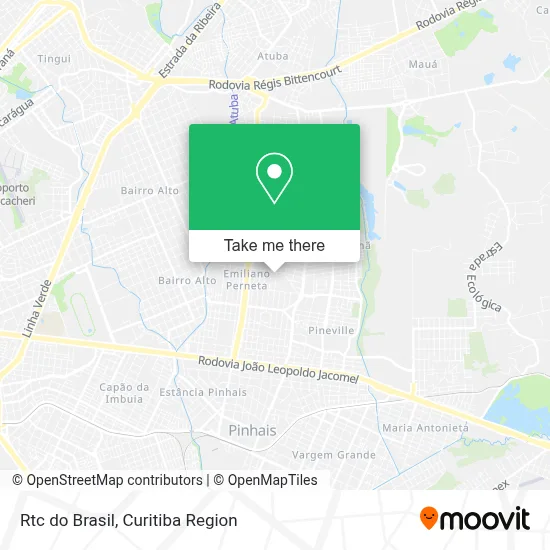
See Rtc do Brasil, Pinhais, on the map
Public Transit to Rtc do Brasil in Pinhais
Wondering how to get to Rtc do Brasil in Pinhais? Moovit helps you find the best way to get to Rtc do Brasil with step-by-step directions from the nearest public transit station.
Moovit provides free maps and live directions to help you navigate through your city. View schedules, routes, timetables, and find out how long does it take to get to Rtc do Brasil in real time.
Looking for the nearest stop or station to Rtc do Brasil? Check out this list of stops closest to your destination: Rua Das Palmeiras; Av. Jacob Macanhan; Av. Maringá; Rua Mandaguaçu.
Bus: B41 MARACANÃ / CAPÃO DA IMBUIA, C20 JARDIM CLÁUDIA, C36 CENTENÁRIO / BAIRRO ALTO (PINHAIS), C41 PINHAIS / BAIRRO ALTO (VIA EMILIANO PERNETA), C28 JACOB MACANHAN, I20 MARACANÃ / AFONSO PENA.
Want to see if there’s another route that gets you there at an earlier time? Moovit helps you find alternative routes or times. Get directions from and directions to Rtc do Brasil easily from the Moovit App or Website.
We make riding to Rtc do Brasil easy, which is why over 1.5 million users, including users in Pinhais, trust Moovit as the best app for public transit. You don’t need to download an individual bus app or train app, Moovit is your all-in-one transit app that helps you find the best bus time or train time available.
For information on prices of bus, costs and ride fares to Rtc do Brasil, please check the Moovit app.
Use the app to navigate to popular places including to the airport, hospital, stadium, grocery store, mall, coffee shop, school, college, and university.
Rtc do Brasil Address: Rua Uniflor, 1101 Emiliano Perneta Pinhais-PR 83324-227 street in Pinhais
- Rua Uniflor 1222,
- Biro do Uniforme,
- Cacau Show Pinhais,
- Embravet Comercial de Produtos Veterinários,
- Sabrina Konfidera Store,
- Rua Apucarana 516,
- Deusa Moveis Marcenaria,
- Bepine Indústria e Comércio de Embalagens Plásticas,
- Consorcio Esteio Engefoto,
- Romanha Indústria De Alimentos Ltda.,
- Rua Apucarana 271,
- Romanha,
- Rua Jandaia do Sul 737,
- Ativamed,
- Rua Terra Boa 1176,
- Nova Mutum,
- Sanplast Industria e Comercio de Plasticos,
- Rua Peabiru 140,
- Laboratorio Vita Brasilis,
- Colégio Estillo
Places Near Rtc do Brasil (Pinhais)
- Hospital Madalena Sofia, Bairro Alto,
- Parque Barigui, Mercês,
- Hospital Angelina Caron, Campina Grande Do Sul,
- Park Shopping Barigüi, Mossunguê,
- Hospital Da Cruz Vermelha, Batel,
- Rua Martim Afonso 558, Mercês,
- Hospital do Rocio, Campo,
- Hospital Do Senhor - Madre Virgínia, São José Dos Pinhais,
- Hospital Universitário Evangélico de Curitiba, Bigorrilho,
- Shopping Estação, Rebouças,
- Hospital de Clínicas (HC - UFPR), Centro,
- Hospital Nossa Senhora Das Graças, Mercês,
- Shopping Palladium, Portão,
- Hospital Erasto Gaertner, Jardim Das Américas,
- Pontifícia Universidade Católica do Paraná (PUCPR), Prado Velho,
- Rua General Mário Tourinho, Campina Do Siqueira,
- Jardim Botânico de Curitiba PR, Centro,
- Hhhhh, Fazendinha,
- Jockey Plaza Shopping Center, Tarumã,
- Arena Da Baixada - Curitiba
How to get to popular places in Curitiba Region with public transit
Get around Pinhais by public transit!
Traveling around Pinhais has never been so easy. See step by step directions as you travel to any attraction, street or major public transit station. View bus and train schedules, arrival times, service alerts and detailed routes on a map, so you know exactly how to get to anywhere in Pinhais.
When traveling to any destination around Pinhais use Moovit's Live Directions with Get Off Notifications to know exactly where and how far to walk, how long to wait for your line, and how many stops are left. Moovit will alert you when it's time to get off — no need to constantly re-check whether yours is the next stop.
Wondering how to use public transit in Pinhais or how to pay for public transit in Pinhais? Moovit public transit app can help you navigate your way with public transit easily, and at minimum cost. It includes public transit fees, ticket prices, and costs. Looking for a map of Pinhais public transit lines? Moovit public transit app shows all public transit maps in Pinhais with all Bus and Cable Car routes and stops on an interactive map.
Curitiba Region has 2 transit type(s), including: Bus and Cable Car, operated by several transit agencies, including Sistema Integrado de Mobilidade (URBS), Sistema Integrado de Mobilidade (AMEP), URBS (Cartões bancários e Dinheiro), URBS (Cartões bancários / Cartão URBS), AMEP (Cartões bancários / Cartão MetroCard), AMEP (Cartões bancários / Cartão MetroCard / Dinheiro), Viação Colombo (Dinheiro), TRIAR (Cartão TRIAR / Dinheiro), Empresa Curitiba Cerro Azul (Dinheiro), Expresso Nossa Senhora da Penha (Dinheiro), Empresa Campo Alto Tijucas (Dinheiro), Auto Viação São José (Cartão VEM / Dinheiro), BRT S/A (Cartão VEM / Dinheiro), TransPiedade (Cartão Cidadão / Dinheiro) and Oceânica Sul (Cartão Transporte / Dinheiro)