Rua Sagres, 346 stop - Thursday schedule
| Line | Direction | Time |
|---|---|---|
| 3205 | Jardim Petrópolis ⇄ Estação Eldorado | Ida & Volta | 4:07 AM |
| 3205 | Jardim Petrópolis ⇄ Estação Eldorado | Ida & Volta | 4:27 AM |
| 3205 | Jardim Petrópolis ⇄ Estação Eldorado | Ida & Volta | 4:57 AM |
| 3292 | - Petrópolis ⇄ B.H. Via PTB | Ida & Volta | 4:57 AM |
| 3205 | Só Ida: Jardim Petrópolis ➞ Estação Eldorado (R.I.) | 5:27 AM |
| 3292 | Só Ida: Petrópolis ➞ B.H. Via PTB (R.I.) | 5:48 AM |
| 3205 | Jardim Petrópolis ⇄ Estação Eldorado | Ida & Volta | 5:52 AM |
| 710A | São João ⇄ Santa Inês | 6:14 AM |
| 3205 | Jardim Petrópolis ⇄ Estação Eldorado | Ida & Volta | 6:17 AM |
| 3292 | - Petrópolis ⇄ B.H. Via PTB | Ida & Volta | 6:38 AM |
| 710B | São João ⇄ Centro | 6:44 AM |
| 3205 | Só Ida: Jardim Petrópolis ➞ Estação Eldorado (R.I.) | 6:47 AM |
| 710A | Monte Verde ⇄ Santa Inês | 7:32 AM |
| 710B | São João ⇄ Centro | 7:44 AM |
| 710B | São João ⇄ Centro | 8:14 AM |
| 3205 | Jardim Petrópolis ⇄ Estação Eldorado | Ida & Volta | 8:37 AM |
| 710A | São João ⇄ Santa Inês | 8:44 AM |
| 710A | Monte Verde ⇄ Santa Inês | 9:32 AM |
| 710B | São João ⇄ Centro | 9:44 AM |
| 710B | São João ⇄ Centro | 10:14 AM |
| 710B | São João ⇄ Centro | 10:54 AM |
| 3205 | Jardim Petrópolis ⇄ Estação Eldorado | Ida & Volta | 11:37 AM |
| 710A | Monte Verde ⇄ Santa Inês | 11:52 AM |
| 710B | São João ⇄ Centro | 12:14 PM |
| 3205 | Jardim Petrópolis ⇄ Estação Eldorado | Ida & Volta | 1:07 PM |
Directions to Rua Sagres, 346 stop (Betim) with public transit
The following transit lines have routes that pass near Rua Sagres, 346
 Bus: 3205, 3292, 60, 710A, 710B.
How to get to Rua Sagres, 346 stop by bus?
Click on the bus route to see step by step directions with maps, line arrival times and updated time schedules.
Bus stops near Rua Sagres, 346 stop in Betim
- Rua São Julião, 326, 2 min walk,
- Rua São Julião, 363, 2 min walk,
- Rua Atalaia, 791, 4 min walk,
Bus lines to Rua Sagres, 346 stop in Betim
- 3205, Jardim Petrópolis ⇄ Estação Eldorado | Ida & Volta,
- 3292, Partida Em: B.H. ➞ Petrópolis Via PTB (P.I.),
- 710A, Monte Verde ⇄ Santa Inês,
- 710B, São João ⇄ Centro,
- 60, PTB ⇄ Hospital Regional,
What are the closest stations to Rua Sagres, 346?
The closest stations to Rua Sagres, 346 are:
- Rua São Julião, 326 stop is 94 meters away, 2 min walk.
- Rua São Julião, 363 stop is 97 meters away, 2 min walk.
- Rua Atalaia, 791 stop is 228 meters away, 4 min walk.
Which bus lines stop near Rua Sagres, 346?
These bus lines stop near Rua Sagres, 346: 3205, 3292, 60, 710A, 710B.
What’s the nearest bus station to Rua Sagres, 346 in Betim?
The nearest bus stations to Rua Sagres, 346 in Betim are Rua São Julião, 326 and Rua São Julião, 363. The closest one is a 2 min walk away.
What time is the first bus to Rua Sagres, 346 in Betim?
The 3205 is the first bus that goes to Rua Sagres, 346 in Betim. It stops nearby at 4:23 AM.
What time is the last bus to Rua Sagres, 346 in Betim?
The 3205 is the last bus that goes to Rua Sagres, 346 in Betim. It stops nearby at 12:46 AM.
Rua Sagres, 346 station
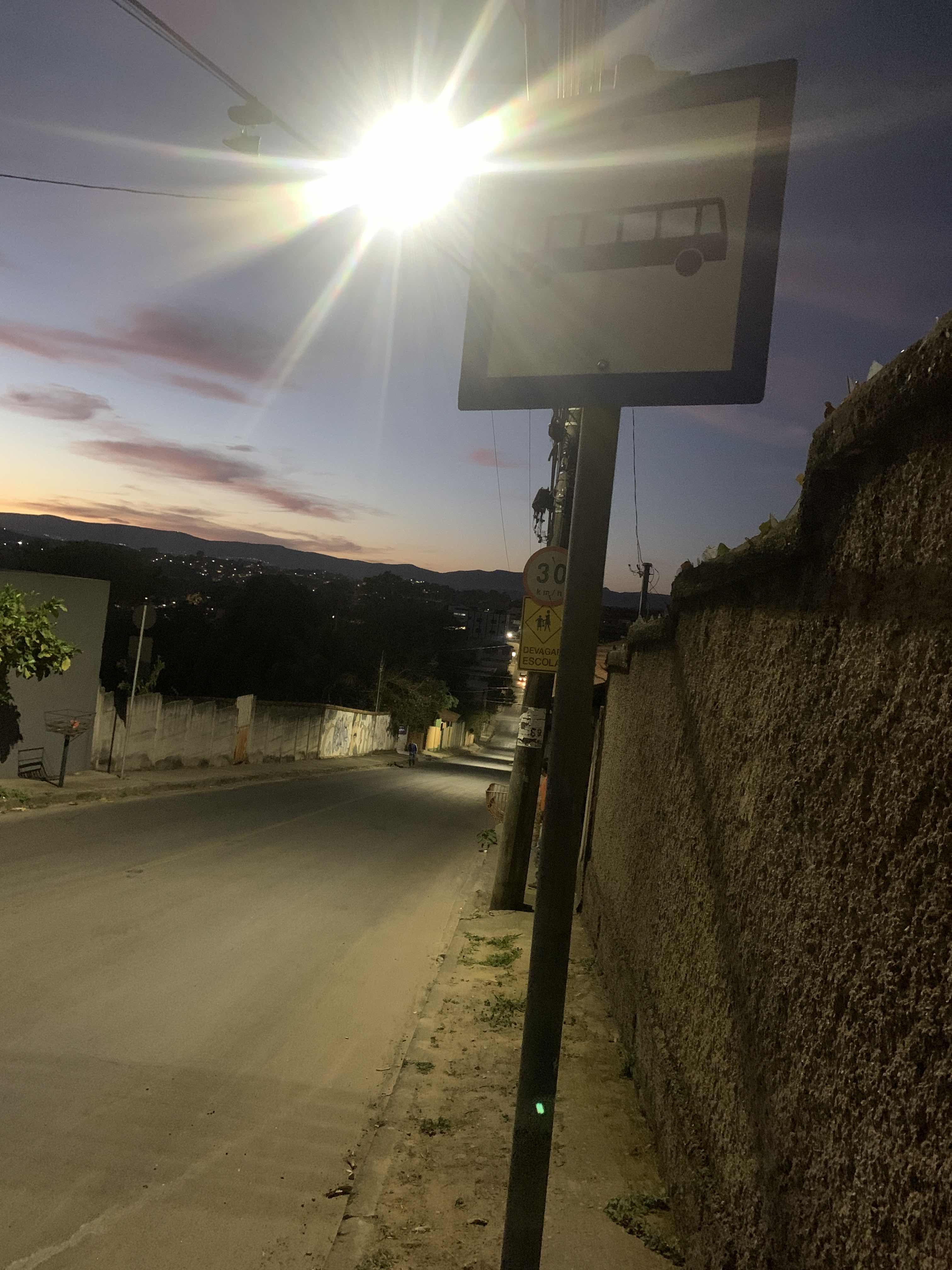 Taken by Thiago F.
See Rua Sagres, 346 stop, Betim, on the map
Public transit to Rua Sagres, 346 stop in Betim
Looking for directions to Rua Sagres, 346 in Betim, Brazil?
Download the Moovit App to find the current schedule and step-by-step directions for Bus routes that pass through Rua Sagres, 346.
Looking for the nearest stops closest to Rua Sagres, 346 ? Check out this list of closest stops to your destination: Rua São Julião; Rua São Julião; Rua Atalaia.
Bus: 3205, 3292, 60, 710A, 710B.
We make riding on public transit to Rua Sagres, 346 easy, which is why over 1.7 billion users, including users in Betim trust Moovit as the best app for public transit.
Use the app to navigate to popular places including to the airport, hospital, stadium, grocery store, mall, coffee shop, school, college, and university.
The first line to this stop is 3205, at 4:07 AM, and the last line is 3205 at 10:37 PM.
320 Rua Sagres, Betim, Brazil
This stop serves Transporte Coletivo Metropolitano de MG - (SEINFRA) and Viação Santa Edwiges | Linhas Transbetim’s lines
- Rua São Julião, 326,
- Rua São Julião, 363,
- Rua Atalaia, 791
Bus stops near Rua Sagres, 346 stop
- Av. Dos Andradas, 3001 | Boulevard Shopping,
- Av. Prof. Alfredo Balena, 127 | Hospital Das Clínicas Ufmg 3,
- Br-381 Rodovia Fernão Dias, Km 531,5 Norte,
- Br-040, Km 530,6 Norte | Antes Da Trincheira,
- Av. Cristiano Machado, 9207,
- Av. Olegário Maciel, 454 | E. E. Olegário Maciel 2,
- Estação Bernardo Monteiro | Move Metropolitano - Plataforma 2 A,
- Br-381 Rod. Fernão Dias, Km 479,9 Sul, 2211 | Supermercado Bh,
- Br-262 Km-375 | Antes Do Palácio Dos Leilões,
- Rua Itapetininga, 10,
- Rua Prof. Moraes, 595 Com Antônio De Albuquerque,
- Br-381, Km 434,9 Sul,
- Av. Do Contorno, 2419 | Estação Santa Efigênia,
- Rua João Gualberto Dos Santos, 376,
- Mg-424, Km 5 Sul | Bairro Bela Vista,
- Rua Dos Tupinambás, 1045 | Senac 2,
- Rua Vp - 2, 2481 | Antiga Praça Do Skate,
- Av. Cardeal Eugênio Pacelli, 1042 | Rotatória Da Antiga Fábrica Aymoré (Atrás Do Santander),
- Br-040, Km 569,8 Sul | Acesso Ao Bairro Água Limpa,
- Mgc-262, Km 302,3 Leste
Popular public transit stations in Betim
Get around Betim by public transit!
Traveling around Betim has never been so easy. See step by step directions as you travel to any attraction, street or major public transit station. View bus and train schedules, arrival times, service alerts and detailed routes on a map, so you know exactly how to get to anywhere in Betim.
When traveling to any destination around Betim use Moovit's Live Directions with Get Off Notifications to know exactly where and how far to walk, how long to wait for your line, and how many stops are left. Moovit will alert you when it's time to get off — no need to constantly re-check whether yours is the next stop.
Wondering how to use public transit in Betim or how to pay for public transit in Betim? Moovit public transit app can help you navigate your way with public transit easily, and at minimum cost. It includes public transit fees, ticket prices, and costs. Looking for a map of Betim public transit lines? Moovit public transit app shows all public transit maps in Betim with all Bus, Train and Metro routes and stops on an interactive map.
Belo Horizonte Region has 3 transit type(s), including: Bus, Train and Metro, operated by several transit agencies, including Grupo Comporte, BHTrans linhas convencionais, BHTrans Suplementar, Cidade Administrativa de Minas Gerais, Transporte Coletivo Metropolitano de MG - (SEINFRA), Transportadora Abreu & Souza, Viação Santa Edwiges | Linhas Transbetim, Transporte Complementar de Betim, RODAP | Municipais Santa Luzia, ViaOuro Coletivos | Municipais Nova Lima, TURI - Transporte Urbano Rodoviário e Intermunicipal Ltda, Cooperseltta, SIT Neves, Saritur Esmeraldas and CAF Transportes| Municipais Brumadinho