How to get to Rue Brillat-Savarin by bus?
Click on the bus route to see step by step directions with maps, line arrival times and updated time schedules.
From Cimetière Parisien, Pantin
71 minFrom Tour Eiffel, Paris
47 minFrom ibis Paris Coeur d Orly Airport, Orly
95 minFrom Rosa Bonheur sur Seine, Paris
45 minFrom Verrières-le-Buisson, Verrieres-Le-Buisson
72 minFrom Rue Boileau, Paris
35 minFrom Palais des Glaces, Paris
48 minFrom Montreuil-Hôpital, Montreuil
74 minFrom Meudon, Meudon
72 minFrom centre CIFA, Aubervilliers
80 min
How to get to Rue Brillat-Savarin by metro?
Click on the metro route to see step by step directions with maps, line arrival times and updated time schedules.
Bus stops near Rue Brillat-Savarin in Paris
Light Rail stations near Rue Brillat-Savarin in Paris
- Poterne Des Peupliers, 7 min walk,VIEW
RER station near Rue Brillat-Savarin in Paris
- Cité Universitaire, 10 min walk,VIEW
Metro station near Rue Brillat-Savarin in Paris
- Tolbiac, 13 min walk,VIEW
Bus lines to Rue Brillat-Savarin in Paris
What are the closest stations to Rue Brillat-Savarin?
The closest stations to Rue Brillat-Savarin are:
- Rungis is 40 meters away, 1 min walk.
- Poterne Des Peupliers is 417 meters away, 6 min walk.
- Amiral Mouchez - Charbonnel is 446 meters away, 6 min walk.
- Cité Universitaire is 706 meters away, 10 min walk.
- Tolbiac is 965 meters away, 13 min walk.
Which RER line stops near Rue Brillat-Savarin?
B (Saint Rémy les Chèvreuses/ Massy Palaiseau/ Robinson)
Which metro lines stop near Rue Brillat-Savarin?
These metro lines stop near Rue Brillat-Savarin: 14, 5, 6.
Which bus lines stop near Rue Brillat-Savarin?
These bus lines stop near Rue Brillat-Savarin: 184, 21, 57, 62, 67.
Which light rail line stops near Rue Brillat-Savarin?
T3A (Pont du Garigliano)
What’s the nearest light rail station to Rue Brillat-Savarin in Paris?
The nearest light rail station to Rue Brillat-Savarin in Paris is Poterne Des Peupliers. It’s a 7 min walk away.
What’s the nearest metro station to Rue Brillat-Savarin in Paris?
The nearest metro station to Rue Brillat-Savarin in Paris is Tolbiac. It’s a 13 min walk away.
What’s the nearest bus station to Rue Brillat-Savarin in Paris?
The nearest bus station to Rue Brillat-Savarin in Paris is Rungis. It’s a 1 min walk away.
What’s the nearest RER station to Rue Brillat-Savarin in Paris?
The nearest RER station to Rue Brillat-Savarin in Paris is Cité Universitaire. It’s a 10 min walk away.
What time is the first light rail to Rue Brillat-Savarin in Paris?
The T3A is the first light rail that goes to Rue Brillat-Savarin in Paris. It stops nearby at 6:26 AM.
What time is the last light rail to Rue Brillat-Savarin in Paris?
The T3A is the last light rail that goes to Rue Brillat-Savarin in Paris. It stops nearby at 1:28 AM.
What time is the first metro to Rue Brillat-Savarin in Paris?
The 7 is the first metro that goes to Rue Brillat-Savarin in Paris. It stops nearby at 5:36 AM.
What time is the last metro to Rue Brillat-Savarin in Paris?
The 7 is the last metro that goes to Rue Brillat-Savarin in Paris. It stops nearby at 1:06 AM.
What time is the first bus to Rue Brillat-Savarin in Paris?
The 67 is the first bus that goes to Rue Brillat-Savarin in Paris. It stops nearby at 6:50 AM.
What time is the last bus to Rue Brillat-Savarin in Paris?
The 67 is the last bus that goes to Rue Brillat-Savarin in Paris. It stops nearby at 12:57 AM.
What time is the first RER to Rue Brillat-Savarin in Paris?
The B is the first RER that goes to Rue Brillat-Savarin in Paris. It stops nearby at 5:14 AM.
What time is the last RER to Rue Brillat-Savarin in Paris?
The B is the last RER that goes to Rue Brillat-Savarin in Paris. It stops nearby at 1:02 AM.
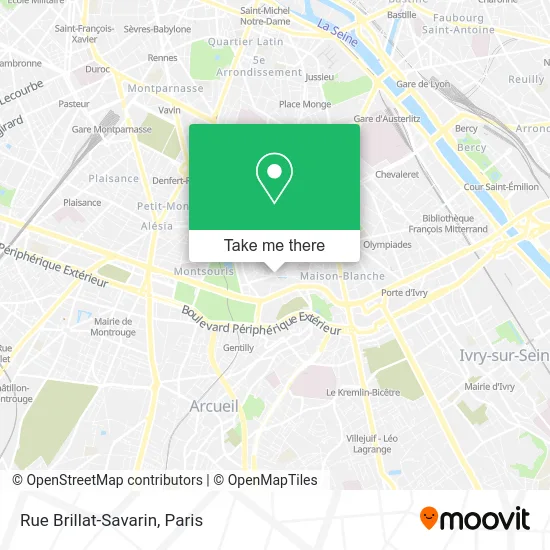
See Rue Brillat-Savarin, Paris, on the map
Public Transit to Rue Brillat-Savarin in Paris
Wondering how to get to Rue Brillat-Savarin in Paris? Moovit helps you find the best way to get to Rue Brillat-Savarin with step-by-step directions from the nearest public transit station.
Moovit provides free maps and live directions to help you navigate through your city. View schedules, routes, timetables, and find out how long does it take to get to Rue Brillat-Savarin in real time.
Looking for the nearest stop or station to Rue Brillat-Savarin? Check out this list of stops closest to your destination: Rungis; Poterne Des Peupliers; Amiral Mouchez - Charbonnel; Cité Universitaire; Tolbiac.
RER: B.Metro: 14, 5, 6, 7.Bus: 184, 21, 57, 62, 67, 193, BIEVRES.Light Rail: T3A.
Want to see if there’s another route that gets you there at an earlier time? Moovit helps you find alternative routes or times. Get directions from and directions to Rue Brillat-Savarin easily from the Moovit App or Website.
We make riding to Rue Brillat-Savarin easy, which is why over 1.5 million users, including users in Paris, trust Moovit as the best app for public transit. You don’t need to download an individual bus app or train app, Moovit is your all-in-one transit app that helps you find the best bus time or train time available.
For information on prices of bus, metro, light rail and RER, costs and ride fares to Rue Brillat-Savarin, please check the Moovit app.
Use the app to navigate to popular places including to the airport, hospital, stadium, grocery store, mall, coffee shop, school, college, and university.
Rue Brillat-Savarin Address: Rue Brillat-Savarin, 75013 Paris, France street in Paris
- Square Paul Grimaud,
- 2 Rue Boussingault,
- Le Phenix,
- Ehpad Annie Girardot,
- 10-16 Avenue Marc Sangnier,
- Aumaitre Laurence,
- 11 Rue des Orchidées,
- Cité florale,
- Bibliothèque Charléty,
- Rue des Iris,
- 107 Rue Bobillot,
- Place Pierre Riboulet,
- 15 Rue Auguste Lançon,
- Caserne de la Garde Républicaine Kellermann,
- 83 Rue Vergniaud,
- Orange Montsouris,
- 47 Rue de la Colonie,
- Collège Georges Braque,
- BMW Bobillot Motors,
- Madame Jessica Gordon
Places Near Rue Brillat-Savarin (Paris)
- Hôpital de la Pitié-Salpêtrière, Paris,
- Atelier Des Lumieres, Paris,
- Gare Routière Flixbus, Paris,
- Hopital Lariboisière, Paris,
- Galeries Lafayette, Paris,
- Fondation Louis Vuitton, Paris,
- Galeries Lafayette Haussmann, Paris,
- Créteil Soleil, Creteil,
- Hôpital Cochin, Paris,
- Hôpital Necker, Paris,
- Hôpital Saint-Joseph, Paris,
- Hôpital Pitié Salpêtrière, Paris,
- Hôpital Beaujon, Clichy,
- Marché Saint-Pierre, Paris,
- Centre Hospitalier des 15/20, Paris,
- Hopital Foch, Suresnes,
- Théâtre Mogador, Paris,
- 29 Rue Manin, Paris,
- Beaugrenelle, Paris,
- Hôpital Henri Mondor, Creteil
How to get to popular places in Paris with public transit
Get around Paris by public transit!
Traveling around Paris has never been so easy. See step by step directions as you travel to any attraction, street or major public transit station. View bus and train schedules, arrival times, service alerts and detailed routes on a map, so you know exactly how to get to anywhere in Paris.
When traveling to any destination around Paris use Moovit's Live Directions with Get Off Notifications to know exactly where and how far to walk, how long to wait for your line, and how many stops are left. Moovit will alert you when it's time to get off — no need to constantly re-check whether yours is the next stop.
Wondering how to use public transit in Paris or how to pay for public transit in Paris? Moovit public transit app can help you navigate your way with public transit easily, and at minimum cost. It includes public transit fees, ticket prices, and costs. Looking for a map of Paris public transit lines? Moovit public transit app shows all public transit maps in Paris with all Bus, Train, Metro, Light Rail, RER, Funicular and Gondola routes and stops on an interactive map.
Paris has 7 transit type(s), including: Bus, Train, Metro, Light Rail, RER, Funicular and Gondola, operated by several transit agencies, including RATP, RER, RER Bus de remplacement, Train, Train Bus de remplacement, Tramway Bus de remplacement, TER, ADP, Magical Shuttle, Argenteuil - Boucles de Seine, Autocars Dominique, Bièvre, Brie et 2 Morin, Le Bus - C.C. du Clermontois and Cœur d’Essonne