Directions to Russo's Plowing (Everett) with public transportation
The following transit lines have routes that pass near Russo's Plowing
 Bus: 109, 105.
- Train: NEWBURYPORT/ROCKPORT, HAVERHILL.
- Subway: ORANGE LINE.
How to get to Russo's Plowing by bus?
Click on the bus route to see step by step directions with maps, line arrival times and updated time schedules.
From Raising Cane's, Boston
57 minFrom Barcelona Wine Bar, Boston
90 minFrom Revere Hotel Boston Common, Boston
49 minFrom Sweet Cheeks Q, Boston
58 minFrom Landmark Center, Boston
55 minFrom Embassy Suites Boston At Logan, Boston
37 minFrom Prometric Testing Center, Boston
57 minFrom Embassy Suites-Boston, Boston
37 minFrom Agganis Arena, Boston
57 minFrom Hampton Inn-Cambridge, Cambridge
45 min
How to get to Russo's Plowing by train?
Click on the train route to see step by step directions with maps, line arrival times and updated time schedules.
How to get to Russo's Plowing by subway?
Click on the subway route to see step by step directions with maps, line arrival times and updated time schedules.
From Raising Cane's, Boston
95 minFrom Barcelona Wine Bar, Boston
73 minFrom Revere Hotel Boston Common, Boston
68 minFrom Sweet Cheeks Q, Boston
91 minFrom Landmark Center, Boston
87 minFrom Embassy Suites Boston At Logan, Boston
78 minFrom Prometric Testing Center, Boston
95 minFrom Embassy Suites-Boston, Boston
77 minFrom Agganis Arena, Boston
94 minFrom Hampton Inn-Cambridge, Cambridge
68 min
Bus stops near Russo's Plowing in Everett
Subway station near Russo's Plowing in Everett
- Wellington, 18 min walk,VIEW
What are the closest stations to Russo's Plowing?
The closest stations to Russo's Plowing are:
- Bowdoin St @ Newland St is 31 yards away, 1 min walk.
- Broadway @ Lynn St is 213 yards away, 3 min walk.
- Wellington is 1497 yards away, 18 min walk.
- Chelsea is 2322 yards away, 30 min walk.
- Oak Grove is 3479 yards away, 41 min walk.
Which bus line stops near Russo's Plowing?
109 (Linden Square Via Sullivan)
Which train line stops near Russo's Plowing?
NEWBURYPORT/ROCKPORT (#125 | Newburyport)
Which subway line stops near Russo's Plowing?
ORANGE LINE (Oak Grove)
What’s the nearest subway station to Russo's Plowing in Everett?
The nearest subway station to Russo's Plowing in Everett is Wellington. It’s a 18 min walk away.
What’s the nearest train station to Russo's Plowing in Everett?
The nearest train station to Russo's Plowing in Everett is Chelsea. It’s a 30 min walk away.
What’s the nearest bus station to Russo's Plowing in Everett?
The nearest bus station to Russo's Plowing in Everett is Bowdoin St @ Newland St. It’s a 1 min walk away.
What time is the first subway to Russo's Plowing in Everett?
The ORANGE LINE is the first subway that goes to Russo's Plowing in Everett. It stops nearby at 5:15 AM.
What time is the last subway to Russo's Plowing in Everett?
The ORANGE LINE is the last subway that goes to Russo's Plowing in Everett. It stops nearby at 1:59 AM.
What time is the first train to Russo's Plowing in Everett?
The HAVERHILL is the first train that goes to Russo's Plowing in Everett. It stops nearby at 5:35 AM.
What time is the last train to Russo's Plowing in Everett?
The NEWBURYPORT/ROCKPORT is the last train that goes to Russo's Plowing in Everett. It stops nearby at 12:06 AM.
What time is the first bus to Russo's Plowing in Everett?
The 109 is the first bus that goes to Russo's Plowing in Everett. It stops nearby at 4:32 AM.
What time is the last bus to Russo's Plowing in Everett?
The 109 is the last bus that goes to Russo's Plowing in Everett. It stops nearby at 1:38 AM.
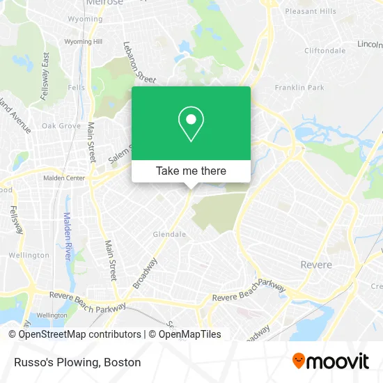
See Russo's Plowing, Everett, on the map
Public Transit to Russo's Plowing in Everett
Wondering how to get to Russo's Plowing in Everett? Moovit helps you find the best way to get to Russo's Plowing with step-by-step directions from the nearest public transit station.
Moovit provides free maps and live directions to help you navigate through your city. View schedules, routes, timetables, and find out how long does it take to get to Russo's Plowing in real time.
Looking for the nearest stop or station to Russo's Plowing? Check out this list of stops closest to your destination: Bowdoin St @ Newland St; Broadway @ Lynn St; Wellington; Chelsea; Oak Grove.
Bus: 109, 105.Train: NEWBURYPORT/ROCKPORT, HAVERHILL.Subway: ORANGE LINE.
Want to see if there’s another route that gets you there at an earlier time? Moovit helps you find alternative routes or times. Get directions from and directions to Russo's Plowing easily from the Moovit App or Website.
We make riding to Russo's Plowing easy, which is why over 1.7 million users, including users in Everett, trust Moovit as the best app for public transit. You don’t need to download an individual bus app or train app, Moovit is your all-in-one transit app that helps you find the best bus time or train time available.
For information on prices of bus, subway and train, costs and ride fares to Russo's Plowing, please check the Moovit app.
Use the app to navigate to popular places including to the airport, hospital, stadium, grocery store, mall, coffee shop, school, college, and university.
Russo's Plowing Address: 977 Broadway street in Everett
- Cibao Barbershop,
- Well Coffee House,
- Cataldo Ambulance,
- Sunshine Manor,
- SM Remodeling Experts,
- Crunch Fitness - Malden,
- Broadway Plaza,
- Dollar Fun,
- Amazon Locker-Virtudes,
- 99 Asian Supermarket,
- Citizens Bank,
- FF,
- Flaming Grill & Buffet,
- PC All Weather Privacy Awning,
- Assembleia da Deus Central,
- Pope John XXII High School,
- Aggy Auto Repair,
- Home Aesthetics,
- Justice Gladys,
- Malden Mission Ame Church
Places Near Russo's Plowing (Everett)
- Prudential Center, Boston,
- Wilbur Theatre, Boston,
- Mgm Music Hall, Boston,
- North End, Boston,
- Td Garden, Boston,
- Boston Children's Hospital, Boston,
- Seaport District, Boston,
- Cheers, Boston,
- Castle Island, Boston,
- Boston Convention & Exhibition Center, Boston,
- Massachusetts General Hospital, Boston,
- House Of Blues, Boston,
- Isabella Stewart Gardner Museum, Boston,
- Boston Common, Boston,
- Wang Theater, Boston,
- Boston Medical Center, Boston,
- Leader Bank Pavilion (Leader Bank Pavillion), Boston,
- Faneuil Hall, Boston,
- Museum Of Science, Boston,
- Quincy Market, Boston
How to get to popular places in Boston with public transit
Get around Everett by public transit!
Traveling around Everett has never been so easy. See step by step directions as you travel to any attraction, street or major public transit station. View bus and train schedules, arrival times, service alerts and detailed routes on a map, so you know exactly how to get to anywhere in Everett.
When traveling to any destination around Everett use Moovit's Live Directions with Get Off Notifications to know exactly where and how far to walk, how long to wait for your line, and how many stops are left. Moovit will alert you when it's time to get off — no need to constantly re-check whether yours is the next stop.
Wondering how to use public transit in Everett or how to pay for public transit in Everett? Moovit public transit app can help you navigate your way with public transit easily, and at minimum cost. It includes public transit fees, ticket prices, and costs. Looking for a map of Everett public transit lines? Moovit public transit app shows all public transit maps in Everett with all Bus, Train, Subway and Ferry routes and stops on an interactive map.
Boston has 4 transit type(s), including: Bus, Train, Subway and Ferry, operated by several transit agencies, including MBTA, Southeastern Regional Transit Authority, MetroWest Regional Transit Authority, Rhode Island Public Transit Authority, WRTA, Lowell Regional Transit Authority, Merrimack Valley Transit, Montachusett Regional Transit Authority, Cape Cod Regional Transit Authority, Brockton Area Transit Authority, Martha's Vineyard Transit Authority, the WAVE - Nantucket Regional Transit Authority, GATRA, Cape Ann Transportation Authority and Massport