Directions to Rzrv (Boston) with public transportation
The following transit lines have routes that pass near Rzrv
 Bus: 1, 21, 54, 56, R.
- Train: PROVIDENCE/STOUGHTON, ACELA, NORTHEAST REGIONAL, PROVIDENCE LINE SHUTTLE, PROVIDENCE LINE SHUTTLE.
How to get to Rzrv by bus?
Click on the bus route to see step by step directions with maps, line arrival times and updated time schedules.
How to get to Rzrv by train?
Click on the train route to see step by step directions with maps, line arrival times and updated time schedules.
Bus stop near Rzrv in Boston
- Atwells Opposite De Pasquale, 1 min walk,VIEW
Train stations near Rzrv in Boston
- Providence, 22 min walk,VIEW
Bus lines to Rzrv in Boston
- 92, Riverview Place Via Governor Apts,VIEW
What are the closest stations to Rzrv?
The closest stations to Rzrv are:
- Atwells Opposite De Pasquale is 57 yards away, 1 min walk.
- Providence is 1774 yards away, 22 min walk.
Which bus lines stop near Rzrv?
These bus lines stop near Rzrv: 1, 21, 54, 56, R.
Which train line stops near Rzrv?
PROVIDENCE/STOUGHTON (#827 | Wickford Junction)
What’s the nearest train station to Rzrv in Boston?
The nearest train station to Rzrv in Boston is Providence. It’s a 22 min walk away.
What’s the nearest bus station to Rzrv in Boston?
The nearest bus station to Rzrv in Boston is Atwells Opposite De Pasquale. It’s a 1 min walk away.
What time is the first train to Rzrv in Boston?
The PROVIDENCE/STOUGHTON is the first train that goes to Rzrv in Boston. It stops nearby at 4:10 AM.
What time is the last train to Rzrv in Boston?
The NORTHEAST REGIONAL is the last train that goes to Rzrv in Boston. It stops nearby at 9:17 AM.
What time is the first bus to Rzrv in Boston?
The 92 is the first bus that goes to Rzrv in Boston. It stops nearby at 5:50 AM.
What time is the last bus to Rzrv in Boston?
The 92 is the last bus that goes to Rzrv in Boston. It stops nearby at 10:37 PM.
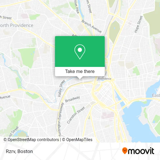
See Rzrv, Boston, on the map
Public Transit to Rzrv in Boston
Wondering how to get to Rzrv in Boston? Moovit helps you find the best way to get to Rzrv with step-by-step directions from the nearest public transit station.
Moovit provides free maps and live directions to help you navigate through your city. View schedules, routes, timetables, and find out how long does it take to get to Rzrv in real time.
Looking for the nearest stop or station to Rzrv? Check out this list of stops closest to your destination: Atwells Opposite De Pasquale; Providence.
Bus: 1, 21, 54, 56, R, 92.Train: PROVIDENCE/STOUGHTON, ACELA, NORTHEAST REGIONAL, PROVIDENCE LINE SHUTTLE, PROVIDENCE LINE SHUTTLE, PROVIDENCE LINE SHUTTLE, FOXBORO EVENT SERVICE.
Want to see if there’s another route that gets you there at an earlier time? Moovit helps you find alternative routes or times. Get directions from and directions to Rzrv easily from the Moovit App or Website.
We make riding to Rzrv easy, which is why over 1.7 million users, including users in Boston, trust Moovit as the best app for public transit. You don’t need to download an individual bus app or train app, Moovit is your all-in-one transit app that helps you find the best bus time or train time available.
For information on prices of bus and train, costs and ride fares to Rzrv, please check the Moovit app.
Use the app to navigate to popular places including to the airport, hospital, stadium, grocery store, mall, coffee shop, school, college, and university.
Rzrv Address: 30 Acorn St street in Boston
- Baba's Auto,
- Acorn St,
- Aunty's House,
- Anyhow Studio,
- Phoenix Management Group,
- Victoria Pavlov,
- Amazon Locker-Ruhig,
- Neon Marketplace,
- M&T Bank ATM,
- Joycraft,
- A Towing,
- Custom Craft,
- Nicholson File Art Studios,
- International Sailing Institute,
- Entrance US-6 E,
- BUILD-A-BEAR WORKSHOP,
- High Output Providence,
- Rusty Lantern Market,
- Robert Rutley,
- Small Objects by May Yao
Places Near Rzrv (Boston)
- Td Garden, Boston,
- Castle Island, Boston,
- Wilbur Theatre, Boston,
- Prudential Center, Boston,
- North End, Boston,
- Faneuil Hall, Boston,
- Massachusetts General Hospital, Boston,
- Seaport District, Boston,
- Boston Medical Center, Boston,
- House Of Blues, Boston,
- Boston Common, Boston,
- Boston Convention & Exhibition Center, Boston,
- Museum Of Science, Boston,
- Cheers, Boston,
- Boston Children's Hospital, Boston,
- Mgm Music Hall, Boston,
- Quincy Market, Boston,
- Isabella Stewart Gardner Museum, Boston,
- Wang Theater, Boston,
- Leader Bank Pavilion (Leader Bank Pavillion), Boston
How to get to popular places in Boston with public transit
Get around Boston by public transit!
Traveling around Boston has never been so easy. See step by step directions as you travel to any attraction, street or major public transit station. View bus and train schedules, arrival times, service alerts and detailed routes on a map, so you know exactly how to get to anywhere in Boston.
When traveling to any destination around Boston use Moovit's Live Directions with Get Off Notifications to know exactly where and how far to walk, how long to wait for your line, and how many stops are left. Moovit will alert you when it's time to get off — no need to constantly re-check whether yours is the next stop.
Wondering how to use public transit in Boston or how to pay for public transit in Boston? Moovit public transit app can help you navigate your way with public transit easily, and at minimum cost. It includes public transit fees, ticket prices, and costs. Looking for a map of Boston public transit lines? Moovit public transit app shows all public transit maps in Boston with all Bus, Train, Subway and Ferry routes and stops on an interactive map.
Boston has 4 transit type(s), including: Bus, Train, Subway and Ferry, operated by several transit agencies, including MBTA, Southeastern Regional Transit Authority, MetroWest Regional Transit Authority, Rhode Island Public Transit Authority, WRTA, Lowell Regional Transit Authority, Merrimack Valley Transit, Montachusett Regional Transit Authority, Cape Cod Regional Transit Authority, Brockton Area Transit Authority, Martha's Vineyard Transit Authority, the WAVE - Nantucket Regional Transit Authority, GATRA, Cape Ann Transportation Authority and Massport