Directions to Sabre Digital Creative (Boston) with public transportation
The following transit lines have routes that pass near Sabre Digital Creative
 Bus: 04S, 11, 10, NCS.
- Train: FRAMINGHAM/WORCESTER, LAKE SHORE LIMITED.
How to get to Sabre Digital Creative by bus?
Click on the bus route to see step by step directions with maps, line arrival times and updated time schedules.
From Staples Corporate HQ, Framingham
64 minFrom Babson College, Wellesley
104 minFrom Bose Corp, Framingham
70 minFrom Wellesley, MA, Wellesley
107 minFrom Newton Wellesley Hospital Green Building, Newton
113 minFrom Newton-Wellesley Hospital, Newton
113 minFrom Hopkinton, MA, Hopkinton
53 minFrom I-95 / Route 128 & Route 16 Interchange (Exit 21), Newton
109 min
How to get to Sabre Digital Creative by train?
Click on the train route to see step by step directions with maps, line arrival times and updated time schedules.
Bus stops near Sabre Digital Creative in Boston
Train stations near Sabre Digital Creative in Boston
Bus lines to Sabre Digital Creative in Boston
What are the closest stations to Sabre Digital Creative?
The closest stations to Sabre Digital Creative are:
- Waverly St. at N 1 Cyclery is 81 yards away, 2 min walk.
- Second St at Rec Center is 657 yards away, 8 min walk.
- Kendall Plaza is 1041 yards away, 13 min walk.
- Framingham is 1989 yards away, 24 min walk.
- Framingham Amtrak is 1989 yards away, 24 min walk.
Which bus lines stop near Sabre Digital Creative?
These bus lines stop near Sabre Digital Creative: 04S, 11.
Which train line stops near Sabre Digital Creative?
FRAMINGHAM/WORCESTER (#530 | South Station)
What’s the nearest train station to Sabre Digital Creative in Boston?
The nearest train stations to Sabre Digital Creative in Boston are Framingham and Framingham Amtrak. The closest one is a 24 min walk away.
What’s the nearest bus station to Sabre Digital Creative in Boston?
The nearest bus station to Sabre Digital Creative in Boston is Waverly St. at N 1 Cyclery. It’s a 2 min walk away.
What time is the first train to Sabre Digital Creative in Boston?
The FRAMINGHAM/WORCESTER is the first train that goes to Sabre Digital Creative in Boston. It stops nearby at 4:54 AM.
What time is the last train to Sabre Digital Creative in Boston?
The LAKE SHORE LIMITED is the last train that goes to Sabre Digital Creative in Boston. It stops nearby at 8:00 PM.
What time is the first bus to Sabre Digital Creative in Boston?
The 04S is the first bus that goes to Sabre Digital Creative in Boston. It stops nearby at 6:14 AM.
What time is the last bus to Sabre Digital Creative in Boston?
The 04S is the last bus that goes to Sabre Digital Creative in Boston. It stops nearby at 9:42 PM.
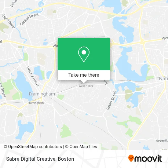
See Sabre Digital Creative, Boston, on the map
Public Transit to Sabre Digital Creative in Boston
Wondering how to get to Sabre Digital Creative in Boston? Moovit helps you find the best way to get to Sabre Digital Creative with step-by-step directions from the nearest public transit station.
Moovit provides free maps and live directions to help you navigate through your city. View schedules, routes, timetables, and find out how long does it take to get to Sabre Digital Creative in real time.
Looking for the nearest stop or station to Sabre Digital Creative? Check out this list of stops closest to your destination: Waverly St. at N 1 Cyclery; Second St at Rec Center; Kendall Plaza; Framingham; Framingham Amtrak.
Bus: 04S, 11, 10, NCS.Train: FRAMINGHAM/WORCESTER, LAKE SHORE LIMITED.
Want to see if there’s another route that gets you there at an earlier time? Moovit helps you find alternative routes or times. Get directions from and directions to Sabre Digital Creative easily from the Moovit App or Website.
We make riding to Sabre Digital Creative easy, which is why over 1.7 million users, including users in Boston, trust Moovit as the best app for public transit. You don’t need to download an individual bus app or train app, Moovit is your all-in-one transit app that helps you find the best bus time or train time available.
For information on prices of bus and train, costs and ride fares to Sabre Digital Creative, please check the Moovit app.
Use the app to navigate to popular places including to the airport, hospital, stadium, grocery store, mall, coffee shop, school, college, and university.
Sabre Digital Creative Address: 251 W Central St street in Boston
- Family Worship Center,
- Minuteman Press Natick,
- Pelvic Health,
- Clean All over Laundromat,
- Danielle Eagan, LMT,Occ,
- Laundromat & Dry Cleaning,
- Brooklyn New York,
- MBTA West Natick Station,
- MBTA Commuter Rail #508,
- World Mission Society Church of God (Boston Zion),
- W Central St,
- Gurjar Gujarati Assoc of,
- Wisdom Home Group,
- Snap-on,
- Cochrane Painting,
- Dr Danielle Brook MD,
- Physical Therapy TMD Rehabilitation,
- Woodhaven Elderly Housing,
- Keep Natick Beautiful,
- ChargePoint
Places Near Sabre Digital Creative (Boston)
- Faneuil Hall, Boston,
- Mgm Music Hall, Boston,
- Leader Bank Pavilion (Leader Bank Pavillion), Boston,
- Castle Island, Boston,
- Museum Of Science, Boston,
- Prudential Center, Boston,
- Cheers, Boston,
- Td Garden, Boston,
- Isabella Stewart Gardner Museum, Boston,
- Boston Children's Hospital, Boston,
- Boston Medical Center, Boston,
- North End, Boston,
- House Of Blues, Boston,
- Wilbur Theatre, Boston,
- Seaport District, Boston,
- Wang Theater, Boston,
- Boston Convention & Exhibition Center, Boston,
- Massachusetts General Hospital, Boston,
- Quincy Market, Boston,
- Boston Common, Boston
How to get to popular places in Boston with public transit
Get around Boston by public transit!
Traveling around Boston has never been so easy. See step by step directions as you travel to any attraction, street or major public transit station. View bus and train schedules, arrival times, service alerts and detailed routes on a map, so you know exactly how to get to anywhere in Boston.
When traveling to any destination around Boston use Moovit's Live Directions with Get Off Notifications to know exactly where and how far to walk, how long to wait for your line, and how many stops are left. Moovit will alert you when it's time to get off — no need to constantly re-check whether yours is the next stop.
Wondering how to use public transit in Boston or how to pay for public transit in Boston? Moovit public transit app can help you navigate your way with public transit easily, and at minimum cost. It includes public transit fees, ticket prices, and costs. Looking for a map of Boston public transit lines? Moovit public transit app shows all public transit maps in Boston with all Bus, Train, Subway and Ferry routes and stops on an interactive map.
Boston has 4 transit type(s), including: Bus, Train, Subway and Ferry, operated by several transit agencies, including MBTA, Southeastern Regional Transit Authority, MetroWest Regional Transit Authority, Rhode Island Public Transit Authority, WRTA, Lowell Regional Transit Authority, Merrimack Valley Transit, Montachusett Regional Transit Authority, Cape Cod Regional Transit Authority, Brockton Area Transit Authority, Martha's Vineyard Transit Authority, the WAVE - Nantucket Regional Transit Authority, GATRA, Cape Ann Transportation Authority and Massport