How to get to Sac Designs by bus?
Click on the bus route to see step by step directions with maps, line arrival times and updated time schedules.
From Sarma, Somerville
52 minFrom Canobie Lake Park, Chelsea
77 minFrom 200 Trade Center, Woburn
58 minFrom Target, Everett
57 minFrom Highland Ave Somerville MA, Somerville
55 minFrom Burlington, Ma, Burlington
51 minFrom Terrace Room, Paige Hall, Medford
59 minFrom Medford, MA, Medford
57 minFrom AC Hotel Boston Cambridge, Cambridge
88 minFrom Somerville, MA, Somerville
52 min
How to get to Sac Designs by train?
Click on the train route to see step by step directions with maps, line arrival times and updated time schedules.
Bus stop near Sac Designs in Stoneham
- Main St @ Pleasant St, 7 min walk,VIEW
Train station near Sac Designs in Stoneham
- Reading, 54 min walk,VIEW
Bus lines to Sac Designs in Stoneham
- 132, Malden,VIEW
What are the closest stations to Sac Designs?
The closest stations to Sac Designs are:
- Main St @ Pleasant St is 561 yards away, 7 min walk.
- Reading is 4591 yards away, 54 min walk.
Which bus lines stop near Sac Designs?
These bus lines stop near Sac Designs: 132, 354.
Which train line stops near Sac Designs?
HAVERHILL (#229 | Haverhill)
What’s the nearest bus station to Sac Designs in Stoneham?
The nearest bus station to Sac Designs in Stoneham is Main St @ Pleasant St. It’s a 7 min walk away.
What time is the first train to Sac Designs in Stoneham?
The HAVERHILL is the first train that goes to Sac Designs in Stoneham. It stops nearby at 5:18 AM.
What time is the last train to Sac Designs in Stoneham?
The HAVERHILL is the last train that goes to Sac Designs in Stoneham. It stops nearby at 12:13 AM.
What time is the first bus to Sac Designs in Stoneham?
The 132 is the first bus that goes to Sac Designs in Stoneham. It stops nearby at 5:40 AM.
What time is the last bus to Sac Designs in Stoneham?
The 132 is the last bus that goes to Sac Designs in Stoneham. It stops nearby at 11:30 PM.
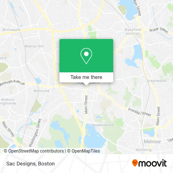
See Sac Designs, Stoneham, on the map
Public Transit to Sac Designs in Stoneham
Wondering how to get to Sac Designs in Stoneham? Moovit helps you find the best way to get to Sac Designs with step-by-step directions from the nearest public transit station.
Moovit provides free maps and live directions to help you navigate through your city. View schedules, routes, timetables, and find out how long does it take to get to Sac Designs in real time.
Looking for the nearest stop or station to Sac Designs? Check out this list of stops closest to your destination: Main St @ Pleasant St; Reading.
Bus: 132, 354.Train: HAVERHILL.
Want to see if there’s another route that gets you there at an earlier time? Moovit helps you find alternative routes or times. Get directions from and directions to Sac Designs easily from the Moovit App or Website.
We make riding to Sac Designs easy, which is why over 1.7 million users, including users in Stoneham, trust Moovit as the best app for public transit. You don’t need to download an individual bus app or train app, Moovit is your all-in-one transit app that helps you find the best bus time or train time available.
For information on prices of bus, subway and train, costs and ride fares to Sac Designs, please check the Moovit app.
Use the app to navigate to popular places including to the airport, hospital, stadium, grocery store, mall, coffee shop, school, college, and university.
Sac Designs Address: 380 Main St street in Stoneham
- Massage by Joyce,
- 02180,
- Gianna's Bridal & Boutique,
- Tread Labs,
- Moko Beauty,
- The Energy Channel,
- Sarah Depriest Hairstylist,
- Hair by Nick Rocco,
- Osmium,
- Brandy Castillo,
- Nails by Jen,
- Perfect ten Nail Salon,
- BKJ Productions, LLC,
- Medyn Susan,
- Kiin Stoneham Thai Take Out,
- Artisan Detailing,
- Xquisite Salon,
- Metro Pizza,
- Law Office of James R. Hetu,
- PP*Erik' S Tennis
Places Near Sac Designs (Stoneham)
- Faneuil Hall, Boston,
- Boston Medical Center, Boston,
- Museum Of Science, Boston,
- Td Garden, Boston,
- Castle Island, Boston,
- Mgm Music Hall, Boston,
- Prudential Center, Boston,
- Leader Bank Pavilion (Leader Bank Pavillion), Boston,
- Boston Children's Hospital, Boston,
- North End, Boston,
- Seaport District, Boston,
- Quincy Market, Boston,
- Cheers, Boston,
- Wang Theater, Boston,
- Isabella Stewart Gardner Museum, Boston,
- Wilbur Theatre, Boston,
- Massachusetts General Hospital, Boston,
- House Of Blues, Boston,
- Boston Common, Boston,
- Boston Convention & Exhibition Center, Boston
How to get to popular places in Boston with public transit
Get around Stoneham by public transit!
Traveling around Stoneham has never been so easy. See step by step directions as you travel to any attraction, street or major public transit station. View bus and train schedules, arrival times, service alerts and detailed routes on a map, so you know exactly how to get to anywhere in Stoneham.
When traveling to any destination around Stoneham use Moovit's Live Directions with Get Off Notifications to know exactly where and how far to walk, how long to wait for your line, and how many stops are left. Moovit will alert you when it's time to get off — no need to constantly re-check whether yours is the next stop.
Wondering how to use public transit in Stoneham or how to pay for public transit in Stoneham? Moovit public transit app can help you navigate your way with public transit easily, and at minimum cost. It includes public transit fees, ticket prices, and costs. Looking for a map of Stoneham public transit lines? Moovit public transit app shows all public transit maps in Stoneham with all Bus, Train, Subway and Ferry routes and stops on an interactive map.
Boston has 4 transit type(s), including: Bus, Train, Subway and Ferry, operated by several transit agencies, including MBTA, Southeastern Regional Transit Authority, MetroWest Regional Transit Authority, Rhode Island Public Transit Authority, WRTA, Lowell Regional Transit Authority, Merrimack Valley Transit, Montachusett Regional Transit Authority, Cape Cod Regional Transit Authority, Brockton Area Transit Authority, Martha's Vineyard Transit Authority, the WAVE - Nantucket Regional Transit Authority, GATRA, Cape Ann Transportation Authority and Massport