How to get to Safety Analytics by bus?
Click on the bus route to see step by step directions with maps, line arrival times and updated time schedules.
From Medford Square, Medford
49 minFrom Winchester, MA, Winchester
57 minFrom Arlington, MA, Arlington
40 minFrom Hanscom AFB, Hanscom Afb
97 minFrom Chevalier Theatre (Chevalier Theater Show Line), Medford
50 minFrom Reading, MA, Reading
143 minFrom Chevalier Theater, Medford
50 minFrom Regent Theatre, Arlington
35 minFrom Takeda, Lexington
93 minFrom Stone Zoo, Stoneham
90 min
Bus stop near Safety Analytics in Burlington
- Cambridge St @ Bedford St, 3 min walk,VIEW
Bus lines to Safety Analytics in Burlington
What are the closest stations to Safety Analytics?
The closest stations to Safety Analytics are:
- Cambridge St @ Bedford St is 161 yards away, 3 min walk.
Which bus lines stop near Safety Analytics?
These bus lines stop near Safety Analytics: 134, 350, 354.
What’s the nearest bus station to Safety Analytics in Burlington?
The nearest bus station to Safety Analytics in Burlington is Cambridge St @ Bedford St. It’s a 3 min walk away.
What time is the first bus to Safety Analytics in Burlington?
The 354 is the first bus that goes to Safety Analytics in Burlington. It stops nearby at 5:31 AM.
What time is the last bus to Safety Analytics in Burlington?
The 350 is the last bus that goes to Safety Analytics in Burlington. It stops nearby at 11:04 PM.
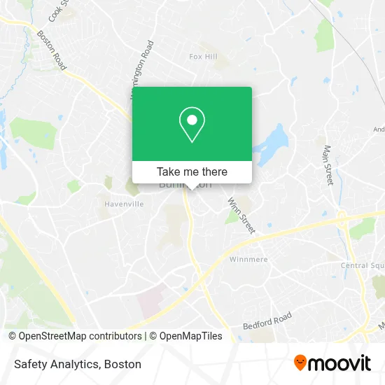
See Safety Analytics, Burlington, on the map
Public Transit to Safety Analytics in Burlington
Wondering how to get to Safety Analytics in Burlington? Moovit helps you find the best way to get to Safety Analytics with step-by-step directions from the nearest public transit station.
Moovit provides free maps and live directions to help you navigate through your city. View schedules, routes, timetables, and find out how long does it take to get to Safety Analytics in real time.
Looking for the nearest stop or station to Safety Analytics? Check out this list of stops closest to your destination: Cambridge St @ Bedford St.
Bus: 134, 350, 354.
Want to see if there’s another route that gets you there at an earlier time? Moovit helps you find alternative routes or times. Get directions from and directions to Safety Analytics easily from the Moovit App or Website.
We make riding to Safety Analytics easy, which is why over 1.7 million users, including users in Burlington, trust Moovit as the best app for public transit. You don’t need to download an individual bus app or train app, Moovit is your all-in-one transit app that helps you find the best bus time or train time available.
For information on prices of bus and train, costs and ride fares to Safety Analytics, please check the Moovit app.
Use the app to navigate to popular places including to the airport, hospital, stadium, grocery store, mall, coffee shop, school, college, and university.
Safety Analytics Address: 5 Bedford St street in Burlington
- Talon Pest Control,
- Local Auto Repair,
- Proficient Plumbing Service,
- JBGC,
- Thakkar Insurance Agency,
- Burlington MA USA,
- Baby Me Olde English Bulldogges,
- Burlington, MA,
- Charley's,
- ADT Security,
- Mega Piano Outlet,
- Jing Sheng Wellness,
- Choice Professional Painting,
- Mount Hope Christian School,
- Burlington High,
- Quality,
- Burlington Science Center,
- Paving the Way,
- Underground Barber,
- Good Night Johnny's American Music Bar
Places Near Safety Analytics (Burlington)
- Boston Convention & Exhibition Center, Boston,
- Leader Bank Pavilion (Leader Bank Pavillion), Boston,
- Prudential Center, Boston,
- House Of Blues, Boston,
- Mgm Music Hall, Boston,
- Boston Children's Hospital, Boston,
- Boston Medical Center, Boston,
- Wang Theater, Boston,
- Faneuil Hall, Boston,
- Massachusetts General Hospital, Boston,
- Td Garden, Boston,
- Boston Common, Boston,
- Cheers, Boston,
- Museum Of Science, Boston,
- Quincy Market, Boston,
- North End, Boston,
- Isabella Stewart Gardner Museum, Boston,
- Wilbur Theatre, Boston,
- Castle Island, Boston,
- Seaport District, Boston
How to get to popular places in Boston with public transit
Get around Burlington by public transit!
Traveling around Burlington has never been so easy. See step by step directions as you travel to any attraction, street or major public transit station. View bus and train schedules, arrival times, service alerts and detailed routes on a map, so you know exactly how to get to anywhere in Burlington.
When traveling to any destination around Burlington use Moovit's Live Directions with Get Off Notifications to know exactly where and how far to walk, how long to wait for your line, and how many stops are left. Moovit will alert you when it's time to get off — no need to constantly re-check whether yours is the next stop.
Wondering how to use public transit in Burlington or how to pay for public transit in Burlington? Moovit public transit app can help you navigate your way with public transit easily, and at minimum cost. It includes public transit fees, ticket prices, and costs. Looking for a map of Burlington public transit lines? Moovit public transit app shows all public transit maps in Burlington with all Bus, Train, Subway and Ferry routes and stops on an interactive map.
Boston has 4 transit type(s), including: Bus, Train, Subway and Ferry, operated by several transit agencies, including MBTA, Southeastern Regional Transit Authority, MetroWest Regional Transit Authority, Rhode Island Public Transit Authority, WRTA, Lowell Regional Transit Authority, Merrimack Valley Transit, Montachusett Regional Transit Authority, Cape Cod Regional Transit Authority, Brockton Area Transit Authority, Martha's Vineyard Transit Authority, the WAVE - Nantucket Regional Transit Authority, GATRA, Cape Ann Transportation Authority and Massport