Directions to Sarah Steele Selling Greater Boston (Newburyport) with public transportation
The following transit lines have routes that pass near Sarah Steele Selling Greater Boston
 Bus: 11, 19, 20.
- Train: NEWBURYPORT/ROCKPORT.
How to get to Sarah Steele Selling Greater Boston by bus?
Click on the bus route to see step by step directions with maps, line arrival times and updated time schedules.
How to get to Sarah Steele Selling Greater Boston by train?
Click on the train route to see step by step directions with maps, line arrival times and updated time schedules.
Bus stops near Sarah Steele Selling Greater Boston in Newburyport
Train station near Sarah Steele Selling Greater Boston in Newburyport
- Newburyport, 29 min walk,VIEW
Bus lines to Sarah Steele Selling Greater Boston in Newburyport
What are the closest stations to Sarah Steele Selling Greater Boston?
The closest stations to Sarah Steele Selling Greater Boston are:
- State Street & High Street is 268 yards away, 4 min walk.
- High Street & Federal Street is 499 yards away, 6 min walk.
- Newburyport is 2499 yards away, 29 min walk.
Which bus lines stop near Sarah Steele Selling Greater Boston?
These bus lines stop near Sarah Steele Selling Greater Boston: 11, 19, 20.
Which train line stops near Sarah Steele Selling Greater Boston?
NEWBURYPORT/ROCKPORT (#131 | Newburyport)
What’s the nearest train station to Sarah Steele Selling Greater Boston in Newburyport?
The nearest train station to Sarah Steele Selling Greater Boston in Newburyport is Newburyport. It’s a 29 min walk away.
What’s the nearest bus station to Sarah Steele Selling Greater Boston in Newburyport?
The nearest bus station to Sarah Steele Selling Greater Boston in Newburyport is State Street & High Street. It’s a 4 min walk away.
What time is the first train to Sarah Steele Selling Greater Boston in Newburyport?
The NEWBURYPORT/ROCKPORT is the first train that goes to Sarah Steele Selling Greater Boston in Newburyport. It stops nearby at 4:48 AM.
What time is the last train to Sarah Steele Selling Greater Boston in Newburyport?
The NEWBURYPORT/ROCKPORT is the last train that goes to Sarah Steele Selling Greater Boston in Newburyport. It stops nearby at 1:03 AM.
What time is the first bus to Sarah Steele Selling Greater Boston in Newburyport?
The 19 is the first bus that goes to Sarah Steele Selling Greater Boston in Newburyport. It stops nearby at 5:30 AM.
What time is the last bus to Sarah Steele Selling Greater Boston in Newburyport?
The 11 is the last bus that goes to Sarah Steele Selling Greater Boston in Newburyport. It stops nearby at 7:40 PM.
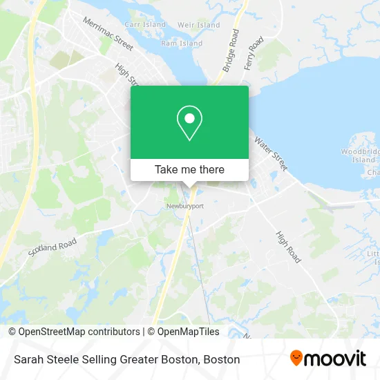
See Sarah Steele Selling Greater Boston, Newburyport, on the map
Public Transit to Sarah Steele Selling Greater Boston in Newburyport
Wondering how to get to Sarah Steele Selling Greater Boston in Newburyport? Moovit helps you find the best way to get to Sarah Steele Selling Greater Boston with step-by-step directions from the nearest public transit station.
Moovit provides free maps and live directions to help you navigate through your city. View schedules, routes, timetables, and find out how long does it take to get to Sarah Steele Selling Greater Boston in real time.
Looking for the nearest stop or station to Sarah Steele Selling Greater Boston? Check out this list of stops closest to your destination: State Street & High Street; High Street & Federal Street; Newburyport.
Bus: 11, 19, 20.Train: NEWBURYPORT/ROCKPORT.
Want to see if there’s another route that gets you there at an earlier time? Moovit helps you find alternative routes or times. Get directions from and directions to Sarah Steele Selling Greater Boston easily from the Moovit App or Website.
We make riding to Sarah Steele Selling Greater Boston easy, which is why over 1.7 million users, including users in Newburyport, trust Moovit as the best app for public transit. You don’t need to download an individual bus app or train app, Moovit is your all-in-one transit app that helps you find the best bus time or train time available.
For information on prices of bus and train, costs and ride fares to Sarah Steele Selling Greater Boston, please check the Moovit app.
Use the app to navigate to popular places including to the airport, hospital, stadium, grocery store, mall, coffee shop, school, college, and university.
Sarah Steele Selling Greater Boston Address: 190 State St street in Newburyport
- Sarah Steele at Realty One Group Nest,
- Olivares & Molina Team of Realty One Group Nest, Realtors,
- Santana Realtor,
- Fatface,
- Gallagher Insurance, Risk Management & Consulting,
- Edward Jones Investments,
- Ipswich District Court,
- Taylor Rental,
- Miracle-Ear,
- Lot C,
- Atlantic Ambulance,
- Home Setup by Sarah Eaves,
- Blink Charging,
- Penske Auto Center,
- Brookline Bank,
- FM Station,
- Keolis Newburyport Layover Facility,
- Soul Serenity Beauty & Wellness,
- Changing Tides Therapeutic Counseling,
- Stone Ridge Properties
Places Near Sarah Steele Selling Greater Boston (Newburyport)
- Wang Theater, Boston,
- Massachusetts General Hospital, Boston,
- Cheers, Boston,
- Td Garden, Boston,
- Boston Medical Center, Boston,
- Quincy Market, Boston,
- North End, Boston,
- Seaport District, Boston,
- Faneuil Hall, Boston,
- Isabella Stewart Gardner Museum, Boston,
- Boston Convention & Exhibition Center, Boston,
- Museum Of Science, Boston,
- Boston Common, Boston,
- Leader Bank Pavilion (Leader Bank Pavillion), Boston,
- Wilbur Theatre, Boston,
- Mgm Music Hall, Boston,
- Prudential Center, Boston,
- Castle Island, Boston,
- House Of Blues, Boston,
- Boston Children's Hospital, Boston
How to get to popular places in Boston with public transit
Get around Newburyport by public transit!
Traveling around Newburyport has never been so easy. See step by step directions as you travel to any attraction, street or major public transit station. View bus and train schedules, arrival times, service alerts and detailed routes on a map, so you know exactly how to get to anywhere in Newburyport.
When traveling to any destination around Newburyport use Moovit's Live Directions with Get Off Notifications to know exactly where and how far to walk, how long to wait for your line, and how many stops are left. Moovit will alert you when it's time to get off — no need to constantly re-check whether yours is the next stop.
Wondering how to use public transit in Newburyport or how to pay for public transit in Newburyport? Moovit public transit app can help you navigate your way with public transit easily, and at minimum cost. It includes public transit fees, ticket prices, and costs. Looking for a map of Newburyport public transit lines? Moovit public transit app shows all public transit maps in Newburyport with all Bus, Train, Subway and Ferry routes and stops on an interactive map.
Boston has 4 transit type(s), including: Bus, Train, Subway and Ferry, operated by several transit agencies, including MBTA, Southeastern Regional Transit Authority, MetroWest Regional Transit Authority, Rhode Island Public Transit Authority, WRTA, Lowell Regional Transit Authority, Merrimack Valley Transit, Montachusett Regional Transit Authority, Cape Cod Regional Transit Authority, Brockton Area Transit Authority, Martha's Vineyard Transit Authority, the WAVE - Nantucket Regional Transit Authority, GATRA, Cape Ann Transportation Authority and Massport