How to get to Selling In Worcester County by bus?
Click on the bus route to see step by step directions with maps, line arrival times and updated time schedules.
Bus stop near Selling In Worcester County
- Chandler St at Mill, 4 min walk,VIEW
What are the closest stations to Selling In Worcester County?
The closest stations to Selling In Worcester County are:
- Chandler St at Mill is 289 yards away, 4 min walk.
Which bus line stops near Selling In Worcester County?
2 (Central Hub→Sunny Hill Drive)
What’s the nearest bus station to Selling In Worcester County?
The nearest bus station to Selling In Worcester County is Chandler St at Mill. It’s a 4 min walk away.
What time is the first bus to Selling In Worcester County?
The 6 is the first bus that goes to Selling In Worcester County. It stops nearby at 5:49 AM.
What time is the last bus to Selling In Worcester County?
The 6 is the last bus that goes to Selling In Worcester County. It stops nearby at 10:12 PM.
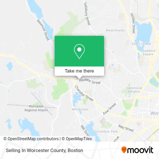
See Selling In Worcester County on the map
Public Transportation to Selling In Worcester County
Wondering how to get to Selling In Worcester County? Moovit helps you find the best way to get to Selling In Worcester County with step-by-step directions from the nearest public transit station.
Moovit provides free maps and live directions to help you navigate through your city. View schedules, routes, timetables, and find out how long does it take to get to Selling In Worcester County in real time.
Looking for the nearest stop or station to Selling In Worcester County? Check out this list of stops closest to your destination: Chandler St at Mill.
Bus: 2, 6.
Want to see if there’s another route that gets you there at an earlier time? Moovit helps you find alternative routes or times. Get directions from and directions to Selling In Worcester County easily from the Moovit App or Website.
We make riding to Selling In Worcester County easy, which is why over 1.7 million users, including users in Worcester, trust Moovit as the best app for public transit. You don’t need to download an individual bus app or train app, Moovit is your all-in-one transit app that helps you find the best bus time or train time available.
For information on prices of bus and train, costs and ride fares to Selling In Worcester County, please check the Moovit app.
Use the app to navigate to popular places including to the airport, hospital, stadium, grocery store, mall, coffee shop, school, college, and university.
Selling In Worcester County Address: 1073 Pleasant St street in Worcester
- Hendriks Plumbing,
- Moji Hair Design,
- Moji Hair Salon and Day Spa,
- Wildrose Baking Company,
- Salon West Hair,
- Flower Delivery by Bloomer's,
- American Express Substitution Policy,
- Everpresent,
- A Piece of Heaven,
- Christ the King Religious Education,
- St Anne Church Millott,
- Cristina Depina Interior Design,
- USPS,
- Plant Ward,
- Academy Mortgage - Worcester,
- Worcester Computer Roofing Plus,
- Tatnuck Family Dental Care,
- Law Office of Israel Fermin,
- Restoration Health Institute,
- Seacoast Mortgage
Places Near Selling In Worcester County
- Seaport District, Boston,
- Museum Of Science, Boston,
- Boston Children's Hospital, Boston,
- Faneuil Hall, Boston,
- Leader Bank Pavilion (Leader Bank Pavillion), Boston,
- Wilbur Theatre, Boston,
- House Of Blues, Boston,
- North End, Boston,
- Boston Medical Center, Boston,
- Castle Island, Boston,
- Boston Convention & Exhibition Center, Boston,
- Quincy Market, Boston,
- Boston Common, Boston,
- Td Garden, Boston,
- Wang Theater, Boston,
- Massachusetts General Hospital, Boston,
- Cheers, Boston,
- Mgm Music Hall, Boston,
- Prudential Center, Boston,
- Isabella Stewart Gardner Museum, Boston
How to get to popular places in Boston with public transit
Get around Worcester by public transit!
Traveling around Worcester has never been so easy. See step by step directions as you travel to any attraction, street or major public transit station. View bus and train schedules, arrival times, service alerts and detailed routes on a map, so you know exactly how to get to anywhere in Worcester.
When traveling to any destination around Worcester use Moovit's Live Directions with Get Off Notifications to know exactly where and how far to walk, how long to wait for your line, and how many stops are left. Moovit will alert you when it's time to get off — no need to constantly re-check whether yours is the next stop.
Wondering how to use public transit in Worcester or how to pay for public transit in Worcester? Moovit public transit app can help you navigate your way with public transit easily, and at minimum cost. It includes public transit fees, ticket prices, and costs. Looking for a map of Worcester public transit lines? Moovit public transit app shows all public transit maps in Worcester with all Bus, Train, Subway and Ferry routes and stops on an interactive map.
Boston has 4 transit type(s), including: Bus, Train, Subway and Ferry, operated by several transit agencies, including MBTA, Southeastern Regional Transit Authority, MetroWest Regional Transit Authority, Rhode Island Public Transit Authority, WRTA, Lowell Regional Transit Authority, Merrimack Valley Transit, Montachusett Regional Transit Authority, Cape Cod Regional Transit Authority, Brockton Area Transit Authority, Martha's Vineyard Transit Authority, the WAVE - Nantucket Regional Transit Authority, GATRA, Cape Ann Transportation Authority and Massport