Directions to Serena & Lily (Newton) with public transportation
The following transit lines have routes that pass near Serena & Lily
 Bus: 52, 60.
- Subway: GREEN LINE D, GREEN LINE B.
How to get to Serena & Lily by bus?
Click on the bus route to see step by step directions with maps, line arrival times and updated time schedules.
From Chinatown Station MBTA, Boston
80 minFrom 300 Longwood Ave, Boston
80 minFrom General Consulate of Colombia, Boston
60 minFrom Abe & Louie's, Boston
53 minFrom Apple Boylston Street, Boston
51 minFrom Boston Opera House, Boston
80 minFrom 15 Parkman Street, Boston
80 minFrom Boston Common Visitor Center, Boston
79 minFrom Massachusetts General Hospital, Boston
78 minFrom Nordstrom Rack, Boston
60 min
How to get to Serena & Lily by subway?
Click on the subway route to see step by step directions with maps, line arrival times and updated time schedules.
From Chinatown Station MBTA, Boston
54 minFrom 300 Longwood Ave, Boston
65 minFrom General Consulate of Colombia, Boston
50 minFrom Abe & Louie's, Boston
50 minFrom Apple Boylston Street, Boston
50 minFrom Boston Opera House, Boston
54 minFrom 15 Parkman Street, Boston
65 minFrom Boston Common Visitor Center, Boston
55 minFrom Massachusetts General Hospital, Boston
72 minFrom Nordstrom Rack, Boston
50 min
Bus stop near Serena & Lily in Newton
- 325 Boylston St, 10 min walk,VIEW
Subway stations near Serena & Lily in Newton
Bus lines to Serena & Lily in Newton
- 60, Brookline Village,VIEW
What are the closest stations to Serena & Lily?
The closest stations to Serena & Lily are:
- 325 Boylston St is 770 yards away, 10 min walk.
- Chestnut Hill is 1382 yards away, 17 min walk.
- Boston College is 2767 yards away, 33 min walk.
Which bus lines stop near Serena & Lily?
These bus lines stop near Serena & Lily: 52, 60.
Which subway line stops near Serena & Lily?
GREEN LINE D (Riverside)
What’s the nearest subway station to Serena & Lily in Newton?
The nearest subway station to Serena & Lily in Newton is Chestnut Hill. It’s a 17 min walk away.
What’s the nearest bus station to Serena & Lily in Newton?
The nearest bus station to Serena & Lily in Newton is 325 Boylston St. It’s a 10 min walk away.
What time is the first subway to Serena & Lily in Newton?
The GREEN LINE D is the first subway that goes to Serena & Lily in Newton. It stops nearby at 4:52 AM.
What time is the last subway to Serena & Lily in Newton?
The GREEN LINE B is the last subway that goes to Serena & Lily in Newton. It stops nearby at 2:39 AM.
What time is the first bus to Serena & Lily in Newton?
The 60 is the first bus that goes to Serena & Lily in Newton. It stops nearby at 5:00 AM.
What time is the last bus to Serena & Lily in Newton?
The 60 is the last bus that goes to Serena & Lily in Newton. It stops nearby at 12:19 AM.
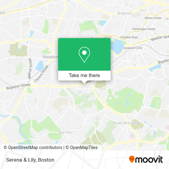
See Serena & Lily, Newton, on the map
Public Transit to Serena & Lily in Newton
Wondering how to get to Serena & Lily in Newton? Moovit helps you find the best way to get to Serena & Lily with step-by-step directions from the nearest public transit station.
Moovit provides free maps and live directions to help you navigate through your city. View schedules, routes, timetables, and find out how long does it take to get to Serena & Lily in real time.
Looking for the nearest stop or station to Serena & Lily? Check out this list of stops closest to your destination: 325 Boylston St; Chestnut Hill; Boston College.
Bus: 52, 60.Subway: GREEN LINE D, GREEN LINE B.
Want to see if there’s another route that gets you there at an earlier time? Moovit helps you find alternative routes or times. Get directions from and directions to Serena & Lily easily from the Moovit App or Website.
We make riding to Serena & Lily easy, which is why over 1.7 million users, including users in Newton, trust Moovit as the best app for public transit. You don’t need to download an individual bus app or train app, Moovit is your all-in-one transit app that helps you find the best bus time or train time available.
For information on prices of bus and subway, costs and ride fares to Serena & Lily, please check the Moovit app.
Use the app to navigate to popular places including to the airport, hospital, stadium, grocery store, mall, coffee shop, school, college, and university.
Serena & Lily Address: 220 Boylston St street in Newton
- Wegmans Wine Store,
- Chestnut Hill Square,
- Atm Wegmans,
- Anthropologie Weddings,
- Seasons 52,
- Beth Israel Deaconess Urgent Care Chestnut Hill,
- Rita Sadowski,
- American Locksmith,
- Wegmans,
- STARBUCKS,
- Barry Friedman DDS,
- Bloomingdale's Chestnut Hill,
- Flowers Chipman,
- Available Chiropractors,
- Tralger Judith Esq,
- Chestnut Hill Square Parking Garage,
- Quadrum Gallery,
- Cell Fix,
- Frank Pepe's (Pepe's Pizza),
- Pepe's Pizza (Frank Pepe's of Chesnut Hill)
Places Near Serena & Lily (Newton)
- Prudential Center, Boston,
- Wilbur Theatre, Boston,
- Mgm Music Hall, Boston,
- North End, Boston,
- Td Garden, Boston,
- Boston Children's Hospital, Boston,
- Seaport District, Boston,
- Cheers, Boston,
- Castle Island, Boston,
- Boston Convention & Exhibition Center, Boston,
- Massachusetts General Hospital, Boston,
- House Of Blues, Boston,
- Isabella Stewart Gardner Museum, Boston,
- Boston Common, Boston,
- Wang Theater, Boston,
- Boston Medical Center, Boston,
- Leader Bank Pavilion (Leader Bank Pavillion), Boston,
- Faneuil Hall, Boston,
- Museum Of Science, Boston,
- Quincy Market, Boston
How to get to popular places in Boston with public transit
Get around Newton by public transit!
Traveling around Newton has never been so easy. See step by step directions as you travel to any attraction, street or major public transit station. View bus and train schedules, arrival times, service alerts and detailed routes on a map, so you know exactly how to get to anywhere in Newton.
When traveling to any destination around Newton use Moovit's Live Directions with Get Off Notifications to know exactly where and how far to walk, how long to wait for your line, and how many stops are left. Moovit will alert you when it's time to get off — no need to constantly re-check whether yours is the next stop.
Wondering how to use public transit in Newton or how to pay for public transit in Newton? Moovit public transit app can help you navigate your way with public transit easily, and at minimum cost. It includes public transit fees, ticket prices, and costs. Looking for a map of Newton public transit lines? Moovit public transit app shows all public transit maps in Newton with all Bus, Train, Subway and Ferry routes and stops on an interactive map.
Boston has 4 transit type(s), including: Bus, Train, Subway and Ferry, operated by several transit agencies, including MBTA, Southeastern Regional Transit Authority, MetroWest Regional Transit Authority, Rhode Island Public Transit Authority, WRTA, Lowell Regional Transit Authority, Merrimack Valley Transit, Montachusett Regional Transit Authority, Cape Cod Regional Transit Authority, Brockton Area Transit Authority, Martha's Vineyard Transit Authority, the WAVE - Nantucket Regional Transit Authority, GATRA, Cape Ann Transportation Authority and Massport