Directions to Services Plus (Boston) with public transportation
The following transit lines have routes that pass near Services Plus
 Bus: 1, 14, 20, 66, PROVIDENCE LINE SHUTTLE.
- Train: PROVIDENCE/STOUGHTON.
How to get to Services Plus by bus?
Click on the bus route to see step by step directions with maps, line arrival times and updated time schedules.
How to get to Services Plus by train?
Click on the train route to see step by step directions with maps, line arrival times and updated time schedules.
Bus stops near Services Plus in Boston
Train station near Services Plus in Boston
- T.F. Green Airport, 22 min walk,VIEW
Bus lines to Services Plus in Boston
What are the closest stations to Services Plus?
The closest stations to Services Plus are:
- Post Between Guilford & Airport Rd is 200 yards away, 3 min walk.
- 480 Jefferson is 583 yards away, 7 min walk.
- Post at Sky Bridge is 875 yards away, 11 min walk.
- TF Green Airport is 1626 yards away, 20 min walk.
- T.F. Green Airport is 1764 yards away, 22 min walk.
Which bus lines stop near Services Plus?
These bus lines stop near Services Plus: 1, 14, 20, 66.
Which train line stops near Services Plus?
PROVIDENCE/STOUGHTON (#827 | Wickford Junction)
What’s the nearest train station to Services Plus in Boston?
The nearest train station to Services Plus in Boston is T.F. Green Airport. It’s a 22 min walk away.
What’s the nearest bus station to Services Plus in Boston?
The nearest bus station to Services Plus in Boston is Post Between Guilford & Airport Rd. It’s a 3 min walk away.
What time is the first train to Services Plus in Boston?
The PROVIDENCE/STOUGHTON is the first train that goes to Services Plus in Boston. It stops nearby at 6:00 AM.
What time is the last train to Services Plus in Boston?
The PROVIDENCE/STOUGHTON is the last train that goes to Services Plus in Boston. It stops nearby at 7:56 PM.
What time is the first bus to Services Plus in Boston?
The 20 is the first bus that goes to Services Plus in Boston. It stops nearby at 5:42 AM.
What time is the last bus to Services Plus in Boston?
The 20 is the last bus that goes to Services Plus in Boston. It stops nearby at 12:39 AM.
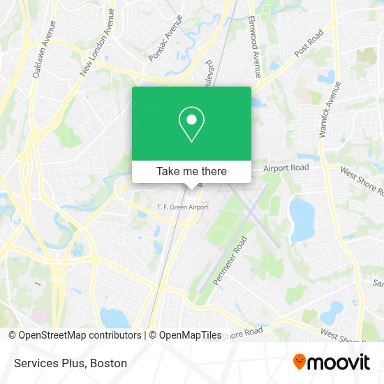
See Services Plus, Boston, on the map
Public Transit to Services Plus in Boston
Wondering how to get to Services Plus in Boston? Moovit helps you find the best way to get to Services Plus with step-by-step directions from the nearest public transit station.
Moovit provides free maps and live directions to help you navigate through your city. View schedules, routes, timetables, and find out how long does it take to get to Services Plus in real time.
Looking for the nearest stop or station to Services Plus? Check out this list of stops closest to your destination: Post Between Guilford & Airport Rd; 480 Jefferson; Post at Sky Bridge; TF Green Airport; T.F. Green Airport.
Bus: 1, 14, 20, 66, PROVIDENCE LINE SHUTTLE.Train: PROVIDENCE/STOUGHTON.
Want to see if there’s another route that gets you there at an earlier time? Moovit helps you find alternative routes or times. Get directions from and directions to Services Plus easily from the Moovit App or Website.
We make riding to Services Plus easy, which is why over 1.7 million users, including users in Boston, trust Moovit as the best app for public transit. You don’t need to download an individual bus app or train app, Moovit is your all-in-one transit app that helps you find the best bus time or train time available.
For information on prices of bus and train, costs and ride fares to Services Plus, please check the Moovit app.
Use the app to navigate to popular places including to the airport, hospital, stadium, grocery store, mall, coffee shop, school, college, and university.
Services Plus Address: 46 Kilvert St street in Boston
- Ocean State Souvenirs,
- Cludda-Bugs,
- Airport Golf Simulator,
- Red Beam Garage C (Tf Green Airport - Red Beam Garage C),
- AVIS,
- Blue Star Properties,
- TF Green Airport Station - MBTA,
- Beauty & Bridal by,
- Health Insurance Affordable Rates,
- Life Force Hypnosis LLC,
- Heavens To Earth Studio,
- Guaranteed Rate,
- Ri Homes for Sale,
- Lowe David,
- Law Offices of Christopher A. Murphy,
- National Car Rental,
- RIPTA Bus Rte 14,
- Greenwich, CT,
- Ezen Computer Service,
- Manny's Cleaning Services
Places Near Services Plus (Boston)
- House Of Blues, Boston,
- Quincy Market, Boston,
- Wang Theater, Boston,
- Boston Common, Boston,
- Museum Of Science, Boston,
- Castle Island, Boston,
- Cheers, Boston,
- Wilbur Theatre, Boston,
- Isabella Stewart Gardner Museum, Boston,
- Massachusetts General Hospital, Boston,
- Prudential Center, Boston,
- Boston Medical Center, Boston,
- North End, Boston,
- Td Garden, Boston,
- Mgm Music Hall, Boston,
- Faneuil Hall, Boston,
- Boston Children's Hospital, Boston,
- Leader Bank Pavilion (Leader Bank Pavillion), Boston,
- Seaport District, Boston,
- Boston Convention & Exhibition Center, Boston
How to get to popular places in Boston with public transit
Get around Boston by public transit!
Traveling around Boston has never been so easy. See step by step directions as you travel to any attraction, street or major public transit station. View bus and train schedules, arrival times, service alerts and detailed routes on a map, so you know exactly how to get to anywhere in Boston.
When traveling to any destination around Boston use Moovit's Live Directions with Get Off Notifications to know exactly where and how far to walk, how long to wait for your line, and how many stops are left. Moovit will alert you when it's time to get off — no need to constantly re-check whether yours is the next stop.
Wondering how to use public transit in Boston or how to pay for public transit in Boston? Moovit public transit app can help you navigate your way with public transit easily, and at minimum cost. It includes public transit fees, ticket prices, and costs. Looking for a map of Boston public transit lines? Moovit public transit app shows all public transit maps in Boston with all Bus, Train, Subway and Ferry routes and stops on an interactive map.
Boston has 4 transit type(s), including: Bus, Train, Subway and Ferry, operated by several transit agencies, including MBTA, Southeastern Regional Transit Authority, MetroWest Regional Transit Authority, Rhode Island Public Transit Authority, WRTA, Lowell Regional Transit Authority, Merrimack Valley Transit, Montachusett Regional Transit Authority, Cape Cod Regional Transit Authority, Brockton Area Transit Authority, Martha's Vineyard Transit Authority, the WAVE - Nantucket Regional Transit Authority, GATRA, Cape Ann Transportation Authority and Massport