How to get to Shefield Express by bus?
Click on the bus route to see step by step directions with maps, line arrival times and updated time schedules.
From Aurora Wild, Edmonton
63 minFrom Bonnie Doon, Edmonton
64 minFrom Kindersley Transport, Edmonton
79 minFrom 132 Street & 132 Avenue, Edmonton
33 minFrom The Garneau, Edmonton
47 minFrom Courtyard Edmonton Downtown, Edmonton
44 minFrom Varscona Hotel On Whyte, Edmonton
50 minFrom Burnco Landscape Centre, Edmonton
66 minFrom Whyte Avenue, Edmonton
61 minFrom Alberta Legislature Building, Edmonton
49 min
Bus stops near Shefield Express in Edmonton
Light Rail stations near Shefield Express in Edmonton
- Coliseum Station, 15 min walk,VIEW
Bus lines to Shefield Express in Edmonton
- 128, Northgate Lion Centre,VIEW
- 107, West Clareview Transit Centre,VIEW
- 626, 90 Street & 132 Avenue,VIEW
- 054, West Edmonton Mall Transit Centre,VIEW
- 113, West Clareview - Northgate,VIEW
- 114, West Clareview - Coliseum,VIEW
- 620, J.J. Bowlen - Lazerte - Brintnell,VIEW
- 621, M.E. Lazerte - Londonderry - Crystallina Nera,VIEW
What are the closest stations to Shefield Express?
The closest stations to Shefield Express are:
- Londonderry Mall East Entrance is 120 meters away, 2 min walk.
- 66 Street & 140 Avenue is 276 meters away, 4 min walk.
- 68 Street & 137 Avenue is 342 meters away, 5 min walk.
- 69 Street & 144 Avenue is 419 meters away, 6 min walk.
- 66 Street & 144 Avenue is 543 meters away, 8 min walk.
- Coliseum Station is 1071 meters away, 15 min walk.
Which bus lines stop near Shefield Express?
These bus lines stop near Shefield Express: 054, 113, 114.
What’s the nearest light rail station to Shefield Express in Edmonton?
The nearest light rail station to Shefield Express in Edmonton is Coliseum Station. It’s a 15 min walk away.
What’s the nearest bus station to Shefield Express in Edmonton?
The nearest bus station to Shefield Express in Edmonton is Londonderry Mall East Entrance. It’s a 2 min walk away.
What time is the first bus to Shefield Express in Edmonton?
The 113 is the first bus that goes to Shefield Express in Edmonton. It stops nearby at 6:07 AM.
What time is the last bus to Shefield Express in Edmonton?
The 054 is the last bus that goes to Shefield Express in Edmonton. It stops nearby at 12:40 AM.
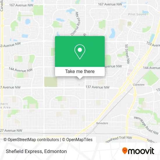
See Shefield Express, Edmonton, on the map
Public Transit to Shefield Express in Edmonton
Wondering how to get to Shefield Express in Edmonton? Moovit helps you find the best way to get to Shefield Express with step-by-step directions from the nearest public transit station.
Moovit provides free maps and live directions to help you navigate through your city. View schedules, routes, timetables, and find out how long does it take to get to Shefield Express in real time.
Looking for the nearest stop or station to Shefield Express? Check out this list of stops closest to your destination: Londonderry Mall East Entrance; 66 Street & 140 Avenue; 68 Street & 137 Avenue; 69 Street & 144 Avenue; 66 Street & 144 Avenue; Coliseum Station.
Bus: 054, 113, 114, 128, 107, 626, 620, 621.
Want to see if there’s another route that gets you there at an earlier time? Moovit helps you find alternative routes or times. Get directions from and directions to Shefield Express easily from the Moovit App or Website.
We make riding to Shefield Express easy, which is why over 1.5 million users, including users in Edmonton, trust Moovit as the best app for public transit. You don’t need to download an individual bus app or train app, Moovit is your all-in-one transit app that helps you find the best bus time or train time available.
For information on prices of bus and light rail, costs and ride fares to Shefield Express, please check the Moovit app.
Use the app to navigate to popular places including to the airport, hospital, stadium, grocery store, mall, coffee shop, school, college, and university.
Location: Edmonton
- HBC Salon at the Bay Londonderry,
- Koodo,
- Shoemasters Shoe Repair,
- Rickis Londonderry Mall,
- Mappins,
- Elin Clothing,
- Malvel Butiq,
- Nofri,
- Rogers 5653,
- Dr. Chong Davin,
- Shaw,
- Ultra Jewellers,
- Kingsway Legion,
- Spastation LD Hot Shea,
- The Eyewear Place,
- Alsagheer Ayad Dr Periodontics & Dental Implants,
- Shoemasters B,
- Studio Nails,
- Artz Plus,
- Real & Carolyn's No Fri
Places Near Shefield Express (Edmonton)
- Whyte Avenue, Edmonton,
- Cross Cancer Institute, Edmonton,
- Alberta Legislature Building, Edmonton,
- Kaye Edmonton Clinic, Edmonton,
- Rogers Place, Edmonton,
- Canada Place Service Canada Centre, Edmonton,
- Kingsway Mall, Edmonton,
- Edmonton VIA Rail Station, Edmonton,
- Royal Alexandra Hospital, Edmonton,
- University of Alberta, Edmonton,
- Edmonton Valley Zoo, Edmonton,
- Northgate Centre, Edmonton,
- Fort Edmonton Park, Edmonton,
- Edmonton EXPO Centre, Edmonton,
- Grey Nuns Community Hospital, Edmonton,
- Borden Park, Edmonton,
- MacEwan University, Edmonton,
- Londonderry Mall, Edmonton,
- Edmonton Commonwealth Stadium, Edmonton,
- West Edmonton Mall, Edmonton
How to get to popular places in Edmonton with public transit
Get around Edmonton by public transit!
Traveling around Edmonton has never been so easy. See step by step directions as you travel to any attraction, street or major public transit station. View bus and train schedules, arrival times, service alerts and detailed routes on a map, so you know exactly how to get to anywhere in Edmonton.
When traveling to any destination around Edmonton use Moovit's Live Directions with Get Off Notifications to know exactly where and how far to walk, how long to wait for your line, and how many stops are left. Moovit will alert you when it's time to get off — no need to constantly re-check whether yours is the next stop.
Wondering how to use public transit in Edmonton or how to pay for public transit in Edmonton? Moovit public transit app can help you navigate your way with public transit easily, and at minimum cost. It includes public transit fees, ticket prices, and costs. Looking for a map of Edmonton public transit lines? Moovit public transit app shows all public transit maps in Edmonton with all Bus and Light Rail routes and stops on an interactive map.
Edmonton has 2 transit type(s), including: Bus and Light Rail, operated by several transit agencies, including ETS LRT, ETS, Strathcona County Transit, St. Albert Transit, Spruce Grove Transit, Fort Saskatchewan Transit, Beaumont Transit and Leduc Transit