How to get to Shell by bus?
Click on the bus route to see step by step directions with maps, line arrival times and updated time schedules.
From El Paisano, Shawnee
45 minFrom Walmart Grocery Pickup, Shawnee
34 minFrom Ses Team, Lenexa
68 minFrom Park Overland Garden Center, Overland Park
65 minFrom Tallgrass Technologies, Lenexa
76 minFrom Reach Church, Lenexa
73 minFrom New Theatre Restaurant, Overland Park
59 minFrom Lily's Furniture & Consignment, Overland Park
58 minFrom I-435 (Nall St.), Overland Park
105 minFrom Tippin's Premium Homestyle Foods, Lenexa
70 min
Bus stops near Shell in Olathe
Bus lines to Shell in Olathe
What are the closest stations to Shell?
The closest stations to Shell are:
- On S Strang Line Road at 119th Plaza Northbound is 269 yards away, 4 min walk.
- Strang Line Road is 498 yards away, 6 min walk.
- Strang Line Road Park And Ride is 1064 yards away, 13 min walk.
Which bus line stops near Shell?
403 (Walmart Park N Ride)
What’s the nearest bus station to Shell in Olathe?
The nearest bus station to Shell in Olathe is On S Strang Line Road at 119th Plaza Northbound. It’s a 4 min walk away.
What time is the first bus to Shell in Olathe?
The 403 is the first bus that goes to Shell in Olathe. It stops nearby at 5:13 AM.
What time is the last bus to Shell in Olathe?
The C is the last bus that goes to Shell in Olathe. It stops nearby at 9:17 PM.
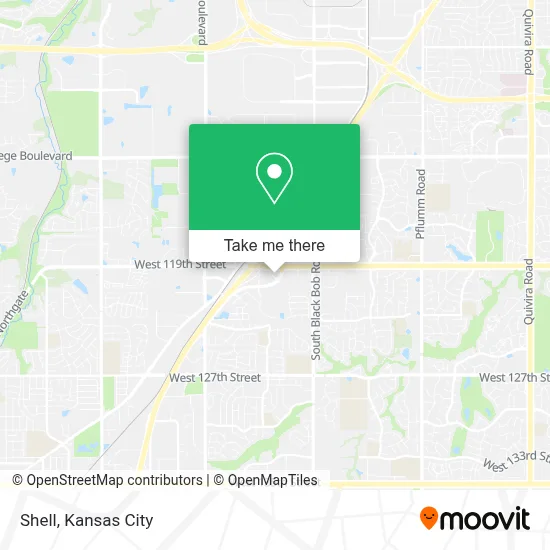
See Shell, Olathe, on the map
Public Transit to Shell in Olathe
Wondering how to get to Shell in Olathe? Moovit helps you find the best way to get to Shell with step-by-step directions from the nearest public transit station.
Moovit provides free maps and live directions to help you navigate through your city. View schedules, routes, timetables, and find out how long does it take to get to Shell in real time.
Looking for the nearest stop or station to Shell? Check out this list of stops closest to your destination: On S Strang Line Road at 119th Plaza Northbound; Strang Line Road; Strang Line Road Park And Ride.
Bus: 403, 402, C, 520.
Want to see if there’s another route that gets you there at an earlier time? Moovit helps you find alternative routes or times. Get directions from and directions to Shell easily from the Moovit App or Website.
We make riding to Shell easy, which is why over 1.5 million users, including users in Olathe, trust Moovit as the best app for public transit. You don’t need to download an individual bus app or train app, Moovit is your all-in-one transit app that helps you find the best bus time or train time available.
For information on prices of bus, costs and ride fares to Shell, please check the Moovit app.
Use the app to navigate to popular places including to the airport, hospital, stadium, grocery store, mall, coffee shop, school, college, and university.
Shell Address: 11960 S Strang Line Rd street in Olathe
- Sylas & Maddy's Homemade Ice Cream,
- Alpha Locksmith,
- Home Depot,
- A D T,
- Depot,
- Tenderfix by Noah Schnapp,
- Cardinal Locksmith,
- Dogtopia of Olathe,
- Flywheel Fitness,
- Foundation,
- Dick's Warehouse Sale,
- Going, Going, Gone,
- Planet Sub,
- Sumits Yoga KC,
- AMC Studio 30 with IMAX and Dine-in Theatres,
- Amazon Locker-Hauke,
- Ross,
- 12091 S Strang Line Rd,
- Direct SAT TV,
- Enterprise
Places Near Shell (Olathe)
- Walmart Supercenter,
- Arrowhead Stadium,
- Truman Medical Center,
- Kansas City International Airport (MCI) (Kansas City International Airport),
- Kauffman Stadium,
- Country Club Plaza,
- Worlds of Fun,
- Grandview, MO, Grandview,
- Kansas City Zoo,
- T-Mobile Center,
- Harrah's Casino, North Kansas City,
- Amazon Fulfilment Center-MKC6, Kansas City,
- St. Luke's Hospital - Medical Plaza I,
- GEHA Field at Arrowhead Stadium,
- Legends Outlets Kansas City, Kansas City,
- Ku Medical Center, Kansas City,
- Liberty, MO, Liberty,
- Walmart, Kansas City,
- The Glory Hole,
- Stans Glory Hole
How to get to popular places in Kansas City with public transit
Get around Olathe by public transit!
Traveling around Olathe has never been so easy. See step by step directions as you travel to any attraction, street or major public transit station. View bus and train schedules, arrival times, service alerts and detailed routes on a map, so you know exactly how to get to anywhere in Olathe.
When traveling to any destination around Olathe use Moovit's Live Directions with Get Off Notifications to know exactly where and how far to walk, how long to wait for your line, and how many stops are left. Moovit will alert you when it's time to get off — no need to constantly re-check whether yours is the next stop.
Wondering how to use public transit in Olathe or how to pay for public transit in Olathe? Moovit public transit app can help you navigate your way with public transit easily, and at minimum cost. It includes public transit fees, ticket prices, and costs. Looking for a map of Olathe public transit lines? Moovit public transit app shows all public transit maps in Olathe with all Bus, Train and Light Rail routes and stops on an interactive map.
Kansas City has 3 transit type(s), including: Bus, Train and Light Rail, operated by several transit agencies, including Kansas City Area Transportation Authority, Lawrence Transit, Topeka Metro, RideKC Johnson County, Amtrak, Greyhound-us and FlixBus-us