How to get to Simley High School (Simley Alternative Program) by bus?
Click on the bus route to see step by step directions with maps, line arrival times and updated time schedules.
From Cat Gebhardt Insurance Agent, South St. Paul
28 minFrom Saint Paul Downtown Airport - Holman Field (STP), St. Paul
72 minFrom 494 & Dodd Rd, Mendota Heights
161 minFrom TDF Transportation, South St. Paul
29 minFrom St. Thomas Ice Arena, Mendota Heights
158 minFrom El Burrito Mercado, St. Paul
31 minFrom Neighborhood House, St. Paul
51 minFrom Target, West St. Paul
41 minFrom Pilot Knob Road At 35E, Eagan
142 minFrom Pollo Campero, West St. Paul
41 min
Bus stop near Simley High School (Simley Alternative Program) in Inver Grove Heights
- 80th St E & Cahill Ave, 4 min walk,VIEW
Bus lines to Simley High School (Simley Alternative Program) in Inver Grove Heights
What are the closest stations to Simley High School (Simley Alternative Program)?
The closest stations to Simley High School (Simley Alternative Program) are:
- 80th St E & Cahill Ave is 285 yards away, 4 min walk.
Which bus lines stop near Simley High School (Simley Alternative Program)?
These bus lines stop near Simley High School (Simley Alternative Program): 68, 71.
What’s the nearest bus station to Simley High School (Simley Alternative Program) in Inver Grove Heights?
The nearest bus station to Simley High School (Simley Alternative Program) in Inver Grove Heights is 80th St E & Cahill Ave. It’s a 4 min walk away.
What time is the first bus to Simley High School (Simley Alternative Program) in Inver Grove Heights?
The 71 is the first bus that goes to Simley High School (Simley Alternative Program) in Inver Grove Heights. It stops nearby at 5:33 AM.
What time is the last bus to Simley High School (Simley Alternative Program) in Inver Grove Heights?
The 68 is the last bus that goes to Simley High School (Simley Alternative Program) in Inver Grove Heights. It stops nearby at 11:29 PM.
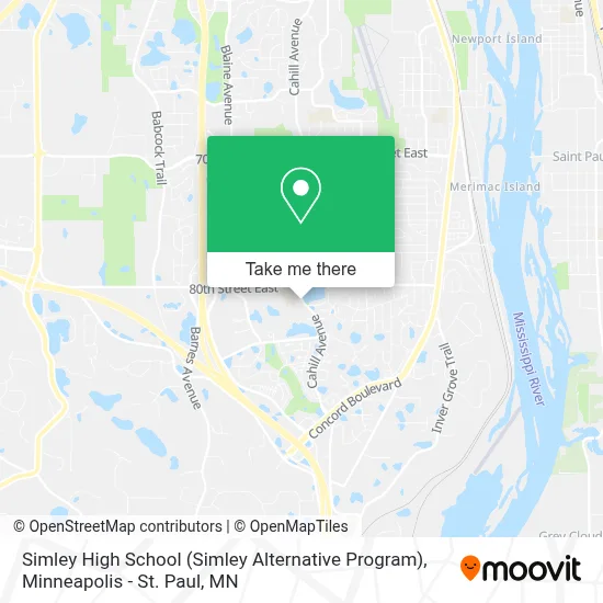
See Simley High School (Simley Alternative Program), Inver Grove Heights, on the map
Public Transit to Simley High School (Simley Alternative Program) in Inver Grove Heights
Wondering how to get to Simley High School (Simley Alternative Program) in Inver Grove Heights? Moovit helps you find the best way to get to Simley High School (Simley Alternative Program) with step-by-step directions from the nearest public transit station.
Moovit provides free maps and live directions to help you navigate through your city. View schedules, routes, timetables, and find out how long does it take to get to Simley High School (Simley Alternative Program) in real time.
Looking for the nearest stop or station to Simley High School (Simley Alternative Program)? Check out this list of stops closest to your destination: 80th St E & Cahill Ave.
Bus: 68, 71.
Want to see if there’s another route that gets you there at an earlier time? Moovit helps you find alternative routes or times. Get directions from and directions to Simley High School (Simley Alternative Program) easily from the Moovit App or Website.
We make riding to Simley High School (Simley Alternative Program) easy, which is why over 1.7 million users, including users in Inver Grove Heights, trust Moovit as the best app for public transit. You don’t need to download an individual bus app or train app, Moovit is your all-in-one transit app that helps you find the best bus time or train time available.
For information on prices of bus, costs and ride fares to Simley High School (Simley Alternative Program), please check the Moovit app.
Use the app to navigate to popular places including to the airport, hospital, stadium, grocery store, mall, coffee shop, school, college, and university.
Simley High School (Simley Alternative Program) Address: 2920 80th St E street in Inver Grove Heights
- Inver Grove Heights Middle,
- Tridistrict Community Education,
- Igh Early Childhood Program,
- Inver Grove Heights Traditional Roof Repair,
- Garage,
- Simley Senior High School,
- Izumi Hibachi Express,
- 199 Online High School,
- Danner Landscaping & Sales,
- USPS Collection Box - Blue Box,
- The Huntington National Bank,
- Amazon Locker-Marla,
- Coinstar - Bitcoin ATM,
- National Bank,
- Coinstar,
- The Hill,
- Don Papi Chulo,
- Inver Grove Heights, MN,
- Jennifer Manthey,
- KTS Tax Preparation
Places Near Simley High School (Simley Alternative Program) (Inver Grove Heights)
- Xcel Energy Center, St. Paul,
- Huntington Bank Stadium, Minneapolis,
- Target Center, Minneapolis,
- Surly Brewing Co., Minneapolis,
- Target Field, Minneapolis,
- 3m Arena at Mariucci, Minneapolis,
- Treasure Island Resort & Casino, St. Paul,
- Harriet Island Regional Park, St. Paul,
- Bishop Henry Whipple Federal Building,
- Minneapolis Institute of Art, Minneapolis,
- Orpheum Theatre (Minneapolis, Minnesota), Minneapolis,
- Grand Casino Hinckley,MN, Minneapolis,
- Mystic lake casino bus, Minneapolis,
- St. Paul College, St. Paul,
- Minnesota State Capitol, St. Paul,
- Mpls. Convention Center, Minneapolis,
- Minnehaha Falls, Minneapolis,
- Northrop Auditorium, Minneapolis,
- Minneapolis Sculpture Garden, Minneapolis,
- Abbott Northwestern Piper Building, Minneapolis
How to get to popular places in Minneapolis - St. Paul, MN with public transit
Get around Inver Grove Heights by public transit!
Traveling around Inver Grove Heights has never been so easy. See step by step directions as you travel to any attraction, street or major public transit station. View bus and train schedules, arrival times, service alerts and detailed routes on a map, so you know exactly how to get to anywhere in Inver Grove Heights.
When traveling to any destination around Inver Grove Heights use Moovit's Live Directions with Get Off Notifications to know exactly where and how far to walk, how long to wait for your line, and how many stops are left. Moovit will alert you when it's time to get off — no need to constantly re-check whether yours is the next stop.
Wondering how to use public transit in Inver Grove Heights or how to pay for public transit in Inver Grove Heights? Moovit public transit app can help you navigate your way with public transit easily, and at minimum cost. It includes public transit fees, ticket prices, and costs. Looking for a map of Inver Grove Heights public transit lines? Moovit public transit app shows all public transit maps in Inver Grove Heights with all Bus, Train and Light Rail routes and stops on an interactive map.
Minneapolis - St. Paul, MN has 3 transit type(s), including: Bus, Train and Light Rail, operated by several transit agencies, including Metro Transit , Metro Transit, MVTA, Plymouth Metrolink, SouthWest Transit, Maple Grove, University of Minnesota, Airport (MAC), Amtrak, Mankato Transit System, SMART, FlixBus-us and Greyhound-us