How to get to Skyline Masonry Solutions by bus?
Click on the bus route to see step by step directions with maps, line arrival times and updated time schedules.
Bus stops near Skyline Masonry Solutions in Boston
Bus lines to Skyline Masonry Solutions in Boston
What are the closest stations to Skyline Masonry Solutions?
The closest stations to Skyline Masonry Solutions are:
- Post Before Devils Foot is 339 yards away, 5 min walk.
- Devils Foot After Namcook is 383 yards away, 5 min walk.
Which bus lines stop near Skyline Masonry Solutions?
These bus lines stop near Skyline Masonry Solutions: 14, 16.
What’s the nearest bus station to Skyline Masonry Solutions in Boston?
The nearest bus stations to Skyline Masonry Solutions in Boston are Post Before Devils Foot and Devils Foot After Namcook. The closest one is a 5 min walk away.
What time is the first bus to Skyline Masonry Solutions in Boston?
The 14 is the first bus that goes to Skyline Masonry Solutions in Boston. It stops nearby at 5:11 AM.
What time is the last bus to Skyline Masonry Solutions in Boston?
The QX is the last bus that goes to Skyline Masonry Solutions in Boston. It stops nearby at 11:24 PM.
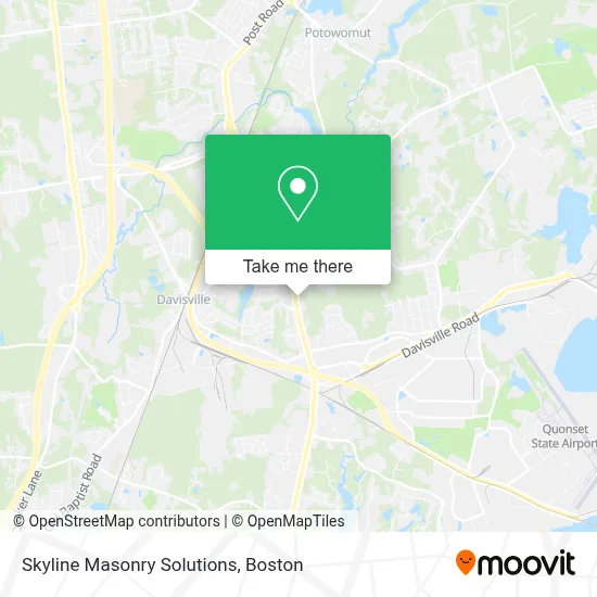
See Skyline Masonry Solutions, Boston, on the map
Public Transit to Skyline Masonry Solutions in Boston
Wondering how to get to Skyline Masonry Solutions in Boston? Moovit helps you find the best way to get to Skyline Masonry Solutions with step-by-step directions from the nearest public transit station.
Moovit provides free maps and live directions to help you navigate through your city. View schedules, routes, timetables, and find out how long does it take to get to Skyline Masonry Solutions in real time.
Looking for the nearest stop or station to Skyline Masonry Solutions? Check out this list of stops closest to your destination: Post Before Devils Foot; Devils Foot After Namcook.
Bus: 14, 16, QX.
Want to see if there’s another route that gets you there at an earlier time? Moovit helps you find alternative routes or times. Get directions from and directions to Skyline Masonry Solutions easily from the Moovit App or Website.
We make riding to Skyline Masonry Solutions easy, which is why over 1.7 million users, including users in Boston, trust Moovit as the best app for public transit. You don’t need to download an individual bus app or train app, Moovit is your all-in-one transit app that helps you find the best bus time or train time available.
For information on prices of bus, costs and ride fares to Skyline Masonry Solutions, please check the Moovit app.
Use the app to navigate to popular places including to the airport, hospital, stadium, grocery store, mall, coffee shop, school, college, and university.
Skyline Masonry Solutions Address: 6770 Post Rd street in Boston
- South County CPR & First Aid,
- US Sale N. Kingstown 1,
- New England Sun Control,
- Petito Oral Surgery,
- Modern Beauty Salon,
- Morgan Battey Realtors,
- Opet Gas,
- North Kingstown Locksmith Store,
- Master Homemade Donuts,
- Cloud Donuts,
- SIGNARAMA,
- Beer on Earth,
- Kristen's Kreations,
- Kid Cove,
- Biomes Marine Biology Center,
- Gammons Realty,
- WW Intl - Studio,
- Linx Golf,
- Columbia,
- Interstate Batteries
Places Near Skyline Masonry Solutions (Boston)
- Prudential Center, Boston,
- Leader Bank Pavilion (Leader Bank Pavillion), Boston,
- Td Garden, Boston,
- Wang Theater, Boston,
- Massachusetts General Hospital, Boston,
- Isabella Stewart Gardner Museum, Boston,
- Museum Of Science, Boston,
- Boston Children's Hospital, Boston,
- Mgm Music Hall, Boston,
- Quincy Market, Boston,
- Wilbur Theatre, Boston,
- Boston Convention & Exhibition Center, Boston,
- North End, Boston,
- Cheers, Boston,
- Seaport District, Boston,
- Faneuil Hall, Boston,
- House Of Blues, Boston,
- Boston Medical Center, Boston,
- Boston Common, Boston,
- Castle Island, Boston
How to get to popular places in Boston with public transit
Get around Boston by public transit!
Traveling around Boston has never been so easy. See step by step directions as you travel to any attraction, street or major public transit station. View bus and train schedules, arrival times, service alerts and detailed routes on a map, so you know exactly how to get to anywhere in Boston.
When traveling to any destination around Boston use Moovit's Live Directions with Get Off Notifications to know exactly where and how far to walk, how long to wait for your line, and how many stops are left. Moovit will alert you when it's time to get off — no need to constantly re-check whether yours is the next stop.
Wondering how to use public transit in Boston or how to pay for public transit in Boston? Moovit public transit app can help you navigate your way with public transit easily, and at minimum cost. It includes public transit fees, ticket prices, and costs. Looking for a map of Boston public transit lines? Moovit public transit app shows all public transit maps in Boston with all Bus, Train, Subway and Ferry routes and stops on an interactive map.
Boston has 4 transit type(s), including: Bus, Train, Subway and Ferry, operated by several transit agencies, including MBTA, Southeastern Regional Transit Authority, MetroWest Regional Transit Authority, Rhode Island Public Transit Authority, WRTA, Lowell Regional Transit Authority, Merrimack Valley Transit, Montachusett Regional Transit Authority, Cape Cod Regional Transit Authority, Brockton Area Transit Authority, Martha's Vineyard Transit Authority, the WAVE - Nantucket Regional Transit Authority, GATRA, Cape Ann Transportation Authority and Massport