Directions to Slavic Baptist Church (Peabody) with public transportation
The following transit lines have routes that pass near Slavic Baptist Church
 Bus: 435, 450.
- Train: NEWBURYPORT/ROCKPORT.
How to get to Slavic Baptist Church by bus?
Click on the bus route to see step by step directions with maps, line arrival times and updated time schedules.
How to get to Slavic Baptist Church by train?
Click on the train route to see step by step directions with maps, line arrival times and updated time schedules.
Bus stop near Slavic Baptist Church in Peabody
- Washington St @ Aborn St, 5 min walk,VIEW
Bus lines to Slavic Baptist Church in Peabody
- 435, Salem Depot,VIEW
What are the closest stations to Slavic Baptist Church?
The closest stations to Slavic Baptist Church are:
- Washington St @ Aborn St is 353 yards away, 5 min walk.
Which bus lines stop near Slavic Baptist Church?
These bus lines stop near Slavic Baptist Church: 435, 450.
Which train line stops near Slavic Baptist Church?
NEWBURYPORT/ROCKPORT (#27 | Rockport)
What’s the nearest bus station to Slavic Baptist Church in Peabody?
The nearest bus station to Slavic Baptist Church in Peabody is Washington St @ Aborn St. It’s a 5 min walk away.
What time is the first bus to Slavic Baptist Church in Peabody?
The 435 is the first bus that goes to Slavic Baptist Church in Peabody. It stops nearby at 6:21 AM.
What time is the last bus to Slavic Baptist Church in Peabody?
The 435 is the last bus that goes to Slavic Baptist Church in Peabody. It stops nearby at 11:28 PM.
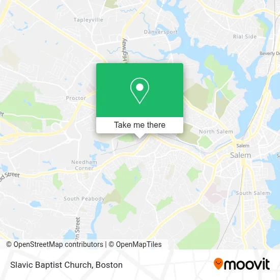
See Slavic Baptist Church, Peabody, on the map
Public Transit to Slavic Baptist Church in Peabody
Wondering how to get to Slavic Baptist Church in Peabody? Moovit helps you find the best way to get to Slavic Baptist Church with step-by-step directions from the nearest public transit station.
Moovit provides free maps and live directions to help you navigate through your city. View schedules, routes, timetables, and find out how long does it take to get to Slavic Baptist Church in real time.
Looking for the nearest stop or station to Slavic Baptist Church? Check out this list of stops closest to your destination: Washington St @ Aborn St.
Bus: 435, 450.Train: NEWBURYPORT/ROCKPORT.
Want to see if there’s another route that gets you there at an earlier time? Moovit helps you find alternative routes or times. Get directions from and directions to Slavic Baptist Church easily from the Moovit App or Website.
We make riding to Slavic Baptist Church easy, which is why over 1.7 million users, including users in Peabody, trust Moovit as the best app for public transit. You don’t need to download an individual bus app or train app, Moovit is your all-in-one transit app that helps you find the best bus time or train time available.
For information on prices of bus and train, costs and ride fares to Slavic Baptist Church, please check the Moovit app.
Use the app to navigate to popular places including to the airport, hospital, stadium, grocery store, mall, coffee shop, school, college, and university.
Slavic Baptist Church Address: 4 Coolidge Rd street in Peabody
- Heal Our Land Boston Usa Sara Nossa Terra Boston Usa,
- Salem Mass. Rt 114,
- Spencer Plumbing Sewer And Drain Cleaning,
- Greenedge Builders,
- Greenedge Builders,
- Magda House Cleaning Services,
- Spencer Home Services,
- Homeland Electric Llc,
- American Bowling League,
- Dr. Damian Archer MD,
- Peabody Civic Center Historic District,
- Mak And Liu Lashes Beauty Spa,
- Michael Kenneth's Salon,
- Brothers Roast Beef & Pizza,
- Dream Landscaping Inc,
- Beautifully Tangled Soul,
- Skin Essentials by Pamela,
- Bitcoin Depot | Bitcoin Atm,
- Down East Landscape,
- Detour Cars
Places Near Slavic Baptist Church (Peabody)
- House Of Blues, Boston,
- Isabella Stewart Gardner Museum, Boston,
- North End, Boston,
- Prudential Center, Boston,
- Td Garden, Boston,
- Mgm Music Hall, Boston,
- Wilbur Theatre, Boston,
- Boston Common, Boston,
- Boston Medical Center, Boston,
- Boston Children's Hospital, Boston,
- Wang Theater, Boston,
- Massachusetts General Hospital, Boston,
- Castle Island, Boston,
- Faneuil Hall, Boston,
- Boston Convention & Exhibition Center, Boston,
- Seaport District, Boston,
- Cheers, Boston,
- Museum Of Science, Boston,
- Quincy Market, Boston,
- Leader Bank Pavilion (Leader Bank Pavillion), Boston
How to get to popular places in Boston with public transit
Get around Peabody by public transit!
Traveling around Peabody has never been so easy. See step by step directions as you travel to any attraction, street or major public transit station. View bus and train schedules, arrival times, service alerts and detailed routes on a map, so you know exactly how to get to anywhere in Peabody.
When traveling to any destination around Peabody use Moovit's Live Directions with Get Off Notifications to know exactly where and how far to walk, how long to wait for your line, and how many stops are left. Moovit will alert you when it's time to get off — no need to constantly re-check whether yours is the next stop.
Wondering how to use public transit in Peabody or how to pay for public transit in Peabody? Moovit public transit app can help you navigate your way with public transit easily, and at minimum cost. It includes public transit fees, ticket prices, and costs. Looking for a map of Peabody public transit lines? Moovit public transit app shows all public transit maps in Peabody with all Bus, Train, Subway and Ferry routes and stops on an interactive map.
Boston has 4 transit type(s), including: Bus, Train, Subway and Ferry, operated by several transit agencies, including MBTA, Southeastern Regional Transit Authority, MetroWest Regional Transit Authority, Rhode Island Public Transit Authority, WRTA, Lowell Regional Transit Authority, Merrimack Valley Transit, Montachusett Regional Transit Authority, Cape Cod Regional Transit Authority, Brockton Area Transit Authority, Martha's Vineyard Transit Authority, the WAVE - Nantucket Regional Transit Authority, GATRA, Cape Ann Transportation Authority and Massport