How to get to Sleeper Cave Records by bus?
Click on the bus route to see step by step directions with maps, line arrival times and updated time schedules.
How to get to Sleeper Cave Records by train?
Click on the train route to see step by step directions with maps, line arrival times and updated time schedules.
Bus stops near Sleeper Cave Records in Boston
- Northampton Post Office, 1 min walk,VIEW
- King/Merrick (Calvin Theatre), 5 min walk,VIEW
- Northampton Court House, 5 min walk,VIEW
- Old South / Conz (Mcdonald House), 8 min walk,VIEW
- Crafts Avenue / Peter Pan, 10 min walk,VIEW
- Academy Of Music, 10 min walk,VIEW
- Peter Pan Bus Terminal Northampton, 10 min walk,VIEW
Train station near Sleeper Cave Records in Boston
- Northampton, 42 min walk,VIEW
Bus lines to Sleeper Cave Records in Boston
- B43, Northampton,VIEW
- R44, Williamsburg Via Va Hospital,VIEW
- 904, Pittsfield Itc,VIEW
- B48, Holyoke Trans. Ctr. Via Rt. 5,VIEW
- G47, Northampton Via Westfield,VIEW
- G73E, Northampton Via Holyoke Mall,VIEW
- NE, Southampton Big Y,VIEW
- R41, Northampton Via Easthampton,VIEW
- R42, Northampton,VIEW
- 31, Jwo Transit Center,VIEW
- PETER PAN, Boston (South Station),VIEW
- PETER PAN, Springfield,VIEW
- PETER PAN, Northampton,VIEW
- PETER PAN, South Hadley,VIEW
What are the closest stations to Sleeper Cave Records?
The closest stations to Sleeper Cave Records are:
- Northampton Post Office is 0 yards away, 1 min walk.
- King/Merrick (Calvin Theatre) is 395 yards away, 5 min walk.
- Northampton Court House is 405 yards away, 5 min walk.
- Old South / Conz (Mcdonald House) is 642 yards away, 8 min walk.
- Crafts Avenue / Peter Pan is 778 yards away, 10 min walk.
- Academy Of Music is 780 yards away, 10 min walk.
- Peter Pan Bus Terminal Northampton is 793 yards away, 10 min walk.
- Northampton is 3554 yards away, 42 min walk.
Which bus lines stop near Sleeper Cave Records?
These bus lines stop near Sleeper Cave Records: 31, B48, G73E.
Which train line stops near Sleeper Cave Records?
VERMONTER (St Albans)
What’s the nearest bus station to Sleeper Cave Records in Boston?
The nearest bus station to Sleeper Cave Records in Boston is Northampton Post Office. It’s a 1 min walk away.
What time is the first train to Sleeper Cave Records in Boston?
The VALLEY FLYER is the first train that goes to Sleeper Cave Records in Boston. It stops nearby at 6:30 AM.
What time is the last train to Sleeper Cave Records in Boston?
The VALLEY FLYER is the last train that goes to Sleeper Cave Records in Boston. It stops nearby at 10:07 PM.
What time is the first bus to Sleeper Cave Records in Boston?
The R44 is the first bus that goes to Sleeper Cave Records in Boston. It stops nearby at 5:41 AM.
What time is the last bus to Sleeper Cave Records in Boston?
The B43 is the last bus that goes to Sleeper Cave Records in Boston. It stops nearby at 11:56 PM.
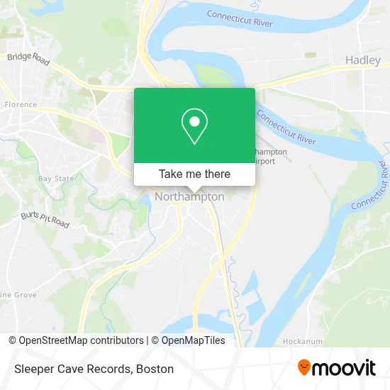
See Sleeper Cave Records, Boston, on the map
Public Transit to Sleeper Cave Records in Boston
Wondering how to get to Sleeper Cave Records in Boston? Moovit helps you find the best way to get to Sleeper Cave Records with step-by-step directions from the nearest public transit station.
Moovit provides free maps and live directions to help you navigate through your city. View schedules, routes, timetables, and find out how long does it take to get to Sleeper Cave Records in real time.
Looking for the nearest stop or station to Sleeper Cave Records? Check out this list of stops closest to your destination: Northampton Post Office; King/Merrick (Calvin Theatre); Northampton Court House; Old South / Conz (Mcdonald House); Crafts Avenue / Peter Pan; Academy Of Music; Peter Pan Bus Terminal Northampton; Northampton.
Bus: 31, B48, G73E, B43, R44, 904, G47, NE, R41, R42.Train: VERMONTER, VALLEY FLYER.
Want to see if there’s another route that gets you there at an earlier time? Moovit helps you find alternative routes or times. Get directions from and directions to Sleeper Cave Records easily from the Moovit App or Website.
We make riding to Sleeper Cave Records easy, which is why over 1.7 million users, including users in Boston, trust Moovit as the best app for public transit. You don’t need to download an individual bus app or train app, Moovit is your all-in-one transit app that helps you find the best bus time or train time available.
For information on prices of bus and train, costs and ride fares to Sleeper Cave Records, please check the Moovit app.
Use the app to navigate to popular places including to the airport, hospital, stadium, grocery store, mall, coffee shop, school, college, and university.
Location: Boston
- Nbo Tickets,
- Goberry,
- Sweeties,
- Cvs Pharmacy,
- Gerard Peter M Attorney,
- Mochinut,
- United Healthcare,
- Florence Bank,
- Wurst Haus,
- Guild Art,
- Commonwealth of Massachusetts Law Libraries,
- W Rsi-the River,
- Wesley W Legg,
- Hypnosis with Fred,
- Dr. Kate Klemer/ K,
- Chase,
- David Babine - Chase Home Lending Advisor - NMLS ID,
- Ci Ci Boutique,
- La Fiorentina,
- Abacus Associates
Places Near Sleeper Cave Records (Boston)
- Boston Children's Hospital, Boston,
- House Of Blues, Boston,
- Faneuil Hall, Boston,
- North End, Boston,
- Isabella Stewart Gardner Museum, Boston,
- Boston Common, Boston,
- Massachusetts General Hospital, Boston,
- Quincy Market, Boston,
- Boston Convention & Exhibition Center, Boston,
- Boston Medical Center, Boston,
- Wilbur Theatre, Boston,
- Seaport District, Boston,
- Prudential Center, Boston,
- Castle Island, Boston,
- Wang Theater, Boston,
- Td Garden, Boston,
- Leader Bank Pavilion (Leader Bank Pavillion), Boston,
- Cheers, Boston,
- Mgm Music Hall, Boston,
- Museum Of Science, Boston
How to get to popular places in Boston with public transit
Get around Boston by public transit!
Traveling around Boston has never been so easy. See step by step directions as you travel to any attraction, street or major public transit station. View bus and train schedules, arrival times, service alerts and detailed routes on a map, so you know exactly how to get to anywhere in Boston.
When traveling to any destination around Boston use Moovit's Live Directions with Get Off Notifications to know exactly where and how far to walk, how long to wait for your line, and how many stops are left. Moovit will alert you when it's time to get off — no need to constantly re-check whether yours is the next stop.
Wondering how to use public transit in Boston or how to pay for public transit in Boston? Moovit public transit app can help you navigate your way with public transit easily, and at minimum cost. It includes public transit fees, ticket prices, and costs. Looking for a map of Boston public transit lines? Moovit public transit app shows all public transit maps in Boston with all Bus, Train, Subway and Ferry routes and stops on an interactive map.
Boston has 4 transit type(s), including: Bus, Train, Subway and Ferry, operated by several transit agencies, including MBTA, Southeastern Regional Transit Authority, MetroWest Regional Transit Authority, Rhode Island Public Transit Authority, WRTA, Lowell Regional Transit Authority, Merrimack Valley Transit, Montachusett Regional Transit Authority, Cape Cod Regional Transit Authority, Brockton Area Transit Authority, Martha's Vineyard Transit Authority, the WAVE - Nantucket Regional Transit Authority, GATRA, Cape Ann Transportation Authority and Massport