How to get to Smart Start Ignition Interlock by bus?
Click on the bus route to see step by step directions with maps, line arrival times and updated time schedules.
Bus stops near Smart Start Ignition Interlock in Boston
Bus lines to Smart Start Ignition Interlock in Boston
What are the closest stations to Smart Start Ignition Interlock?
The closest stations to Smart Start Ignition Interlock are:
- Post Before Frost is 106 yards away, 2 min walk.
- Warwick After Harding is 260 yards away, 4 min walk.
Which bus lines stop near Smart Start Ignition Interlock?
These bus lines stop near Smart Start Ignition Interlock: 1, 3.
What’s the nearest bus station to Smart Start Ignition Interlock in Boston?
The nearest bus station to Smart Start Ignition Interlock in Boston is Post Before Frost. It’s a 2 min walk away.
What time is the first bus to Smart Start Ignition Interlock in Boston?
The 3 is the first bus that goes to Smart Start Ignition Interlock in Boston. It stops nearby at 5:34 AM.
What time is the last bus to Smart Start Ignition Interlock in Boston?
The 1 is the last bus that goes to Smart Start Ignition Interlock in Boston. It stops nearby at 11:53 PM.
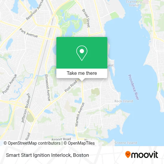
See Smart Start Ignition Interlock, Boston, on the map
Public Transit to Smart Start Ignition Interlock in Boston
Wondering how to get to Smart Start Ignition Interlock in Boston? Moovit helps you find the best way to get to Smart Start Ignition Interlock with step-by-step directions from the nearest public transit station.
Moovit provides free maps and live directions to help you navigate through your city. View schedules, routes, timetables, and find out how long does it take to get to Smart Start Ignition Interlock in real time.
Looking for the nearest stop or station to Smart Start Ignition Interlock? Check out this list of stops closest to your destination: Post Before Frost; Warwick After Harding.
Bus: 1, 3.
Want to see if there’s another route that gets you there at an earlier time? Moovit helps you find alternative routes or times. Get directions from and directions to Smart Start Ignition Interlock easily from the Moovit App or Website.
We make riding to Smart Start Ignition Interlock easy, which is why over 1.7 million users, including users in Boston, trust Moovit as the best app for public transit. You don’t need to download an individual bus app or train app, Moovit is your all-in-one transit app that helps you find the best bus time or train time available.
For information on prices of bus, costs and ride fares to Smart Start Ignition Interlock, please check the Moovit app.
Use the app to navigate to popular places including to the airport, hospital, stadium, grocery store, mall, coffee shop, school, college, and university.
Smart Start Ignition Interlock Address: 665 WARWICK Ave street in Boston
- Warwick GE Certified Appliance Repair,
- C.C.C Heart of God Parish,
- Tight Lines Tattoo Studio,
- AB Friend,
- Ancient Eyebrow Threading,
- Walsh's Auto Repairing,
- K and K,
- ATM,
- Peter Lang CPA PC,
- Amazon Locker-Linh,
- Ace Loan and Jewelry,
- Support Center Of America,
- Clark The Locksmith,
- Kathleen Hedquist,
- O'Brien Tree Service,
- Caito's Marine,
- Rivas Auto Sales & Repair,
- Proclamation Ales,
- Amazon Counter-2nd Chance Trading,
- Neza Mexican Restaurant
Places Near Smart Start Ignition Interlock (Boston)
- Td Garden, Boston,
- Cheers, Boston,
- Boston Children's Hospital, Boston,
- Museum Of Science, Boston,
- North End, Boston,
- Prudential Center, Boston,
- Wang Theater, Boston,
- Boston Convention & Exhibition Center, Boston,
- House Of Blues, Boston,
- Quincy Market, Boston,
- Castle Island, Boston,
- Boston Common, Boston,
- Wilbur Theatre, Boston,
- Faneuil Hall, Boston,
- Mgm Music Hall, Boston,
- Massachusetts General Hospital, Boston,
- Seaport District, Boston,
- Isabella Stewart Gardner Museum, Boston,
- Leader Bank Pavilion (Leader Bank Pavillion), Boston,
- Boston Medical Center, Boston
How to get to popular places in Boston with public transit
Get around Boston by public transit!
Traveling around Boston has never been so easy. See step by step directions as you travel to any attraction, street or major public transit station. View bus and train schedules, arrival times, service alerts and detailed routes on a map, so you know exactly how to get to anywhere in Boston.
When traveling to any destination around Boston use Moovit's Live Directions with Get Off Notifications to know exactly where and how far to walk, how long to wait for your line, and how many stops are left. Moovit will alert you when it's time to get off — no need to constantly re-check whether yours is the next stop.
Wondering how to use public transit in Boston or how to pay for public transit in Boston? Moovit public transit app can help you navigate your way with public transit easily, and at minimum cost. It includes public transit fees, ticket prices, and costs. Looking for a map of Boston public transit lines? Moovit public transit app shows all public transit maps in Boston with all Bus, Train, Subway and Ferry routes and stops on an interactive map.
Boston has 4 transit type(s), including: Bus, Train, Subway and Ferry, operated by several transit agencies, including MBTA, Southeastern Regional Transit Authority, MetroWest Regional Transit Authority, Rhode Island Public Transit Authority, WRTA, Lowell Regional Transit Authority, Merrimack Valley Transit, Montachusett Regional Transit Authority, Cape Cod Regional Transit Authority, Brockton Area Transit Authority, Martha's Vineyard Transit Authority, the WAVE - Nantucket Regional Transit Authority, GATRA, Cape Ann Transportation Authority and Massport