How to get to Smith Street Fusion by bus?
Click on the bus route to see step by step directions with maps, line arrival times and updated time schedules.
Bus stops near Smith Street Fusion in Boston
Bus lines to Smith Street Fusion in Boston
What are the closest stations to Smith Street Fusion?
The closest stations to Smith Street Fusion are:
- Smith & Fruit Hill (Opposite Turcone) is 39 yards away, 1 min walk.
- Mineral Spring Opposite Mcguire is 551 yards away, 7 min walk.
Which bus line stops near Smith Street Fusion?
57 (Centerdale Via Smith St)
What’s the nearest bus station to Smith Street Fusion in Boston?
The nearest bus station to Smith Street Fusion in Boston is Smith & Fruit Hill (Opposite Turcone). It’s a 1 min walk away.
What time is the first bus to Smith Street Fusion in Boston?
The 57 is the first bus that goes to Smith Street Fusion in Boston. It stops nearby at 5:42 AM.
What time is the last bus to Smith Street Fusion in Boston?
The 57 is the last bus that goes to Smith Street Fusion in Boston. It stops nearby at 10:37 PM.
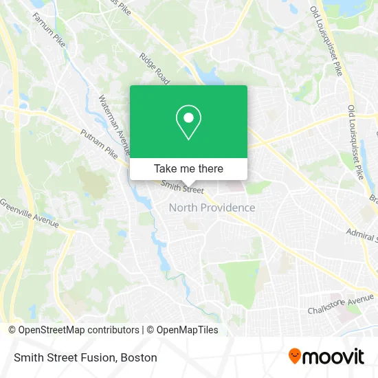
See Smith Street Fusion, Boston, on the map
Public Transit to Smith Street Fusion in Boston
Wondering how to get to Smith Street Fusion in Boston? Moovit helps you find the best way to get to Smith Street Fusion with step-by-step directions from the nearest public transit station.
Moovit provides free maps and live directions to help you navigate through your city. View schedules, routes, timetables, and find out how long does it take to get to Smith Street Fusion in real time.
Looking for the nearest stop or station to Smith Street Fusion? Check out this list of stops closest to your destination: Smith & Fruit Hill (Opposite Turcone); Mineral Spring Opposite Mcguire.
Bus: 57, 58.
Want to see if there’s another route that gets you there at an earlier time? Moovit helps you find alternative routes or times. Get directions from and directions to Smith Street Fusion easily from the Moovit App or Website.
We make riding to Smith Street Fusion easy, which is why over 1.7 million users, including users in Boston, trust Moovit as the best app for public transit. You don’t need to download an individual bus app or train app, Moovit is your all-in-one transit app that helps you find the best bus time or train time available.
For information on prices of bus and train, costs and ride fares to Smith Street Fusion, please check the Moovit app.
Use the app to navigate to popular places including to the airport, hospital, stadium, grocery store, mall, coffee shop, school, college, and university.
Smith Street Fusion Address: 1755 Smith St street in Boston
- DUNKIN',
- Chiropractic Solutions,
- Navigant Credit Union,
- Kacharo,
- Auto Glass Service,
- Budget Blinds of Providence and Northern Rhode Island,
- VP Meals,
- Red Lined,
- Coastal Coats,
- V.I.P Cleaning Solutions,
- Ronnie Kaps Mainteneance and Handyman Services,
- U Call We Haul Towing,
- Dtails Paint with Class,
- Daf Power Washing,
- Ailly's Nail Salon,
- Ocean State Panthers Girls Basketball,
- Lee's Manufacturing Co.,
- Paws R US,
- Ricci Law Associates,
- Villa Santini
Places Near Smith Street Fusion (Boston)
- Wilbur Theatre, Boston,
- Boston Convention & Exhibition Center, Boston,
- Faneuil Hall, Boston,
- Boston Children's Hospital, Boston,
- North End, Boston,
- Isabella Stewart Gardner Museum, Boston,
- Massachusetts General Hospital, Boston,
- Leader Bank Pavilion (Leader Bank Pavillion), Boston,
- Td Garden, Boston,
- Quincy Market, Boston,
- Castle Island, Boston,
- Seaport District, Boston,
- Mgm Music Hall, Boston,
- Museum Of Science, Boston,
- Prudential Center, Boston,
- Cheers, Boston,
- House Of Blues, Boston,
- Wang Theater, Boston,
- Boston Medical Center, Boston,
- Boston Common, Boston
How to get to popular places in Boston with public transit
Get around Boston by public transit!
Traveling around Boston has never been so easy. See step by step directions as you travel to any attraction, street or major public transit station. View bus and train schedules, arrival times, service alerts and detailed routes on a map, so you know exactly how to get to anywhere in Boston.
When traveling to any destination around Boston use Moovit's Live Directions with Get Off Notifications to know exactly where and how far to walk, how long to wait for your line, and how many stops are left. Moovit will alert you when it's time to get off — no need to constantly re-check whether yours is the next stop.
Wondering how to use public transit in Boston or how to pay for public transit in Boston? Moovit public transit app can help you navigate your way with public transit easily, and at minimum cost. It includes public transit fees, ticket prices, and costs. Looking for a map of Boston public transit lines? Moovit public transit app shows all public transit maps in Boston with all Bus, Train, Subway and Ferry routes and stops on an interactive map.
Boston has 4 transit type(s), including: Bus, Train, Subway and Ferry, operated by several transit agencies, including MBTA, Southeastern Regional Transit Authority, MetroWest Regional Transit Authority, Rhode Island Public Transit Authority, WRTA, Lowell Regional Transit Authority, Merrimack Valley Transit, Montachusett Regional Transit Authority, Cape Cod Regional Transit Authority, Brockton Area Transit Authority, Martha's Vineyard Transit Authority, the WAVE - Nantucket Regional Transit Authority, GATRA, Cape Ann Transportation Authority and Massport