Directions to Smitty's Too (North Falmouth) with public transportation
The following transit lines have routes that pass near Smitty's Too
How to get to Smitty's Too by bus?
Click on the bus route to see step by step directions with maps, line arrival times and updated time schedules.
Bus stops near Smitty's Too in North Falmouth
Bus lines to Smitty's Too in North Falmouth
What are the closest stations to Smitty's Too?
The closest stations to Smitty's Too are:
- Bucatino Restaurant - Route 151 is 607 yards away, 8 min walk.
- Route 151 & Route 28a, North Falmouth is 677 yards away, 9 min walk.
Which bus line stops near Smitty's Too?
BOURNE RUN (Mashpee Commons (Stop & Shop)→Buzzards Bay Train Station)
What’s the nearest bus station to Smitty's Too in North Falmouth?
The nearest bus station to Smitty's Too in North Falmouth is Bucatino Restaurant - Route 151. It’s a 8 min walk away.
What time is the first bus to Smitty's Too in North Falmouth?
The SEALINE HYANNIS-FALMOUTH/WOODS HOLE is the first bus that goes to Smitty's Too in North Falmouth. It stops nearby at 7:05 AM.
What time is the last bus to Smitty's Too in North Falmouth?
The BOURNE RUN is the last bus that goes to Smitty's Too in North Falmouth. It stops nearby at 6:51 PM.
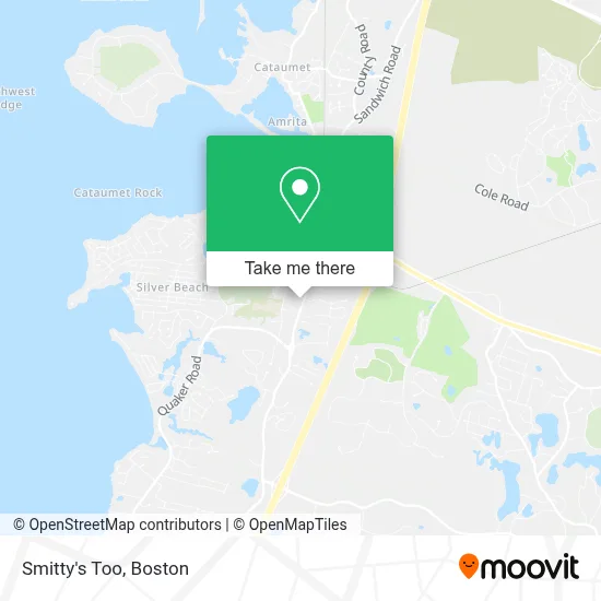
See Smitty's Too, North Falmouth, on the map
Public Transit to Smitty's Too in North Falmouth
Wondering how to get to Smitty's Too in North Falmouth? Moovit helps you find the best way to get to Smitty's Too with step-by-step directions from the nearest public transit station.
Moovit provides free maps and live directions to help you navigate through your city. View schedules, routes, timetables, and find out how long does it take to get to Smitty's Too in real time.
Looking for the nearest stop or station to Smitty's Too? Check out this list of stops closest to your destination: Bucatino Restaurant - Route 151; Route 151 & Route 28a.
Bus: BOURNE RUN, SEALINE HYANNIS-FALMOUTH/WOODS HOLE, CAPEFLYER CONNECTION.
Want to see if there’s another route that gets you there at an earlier time? Moovit helps you find alternative routes or times. Get directions from and directions to Smitty's Too easily from the Moovit App or Website.
We make riding to Smitty's Too easy, which is why over 1.7 million users, including users in North Falmouth, trust Moovit as the best app for public transit. You don’t need to download an individual bus app or train app, Moovit is your all-in-one transit app that helps you find the best bus time or train time available.
For information on prices of bus, costs and ride fares to Smitty's Too, please check the Moovit app.
Use the app to navigate to popular places including to the airport, hospital, stadium, grocery store, mall, coffee shop, school, college, and university.
Smitty's Too Address: 402 N Orth Falmouth Hwy street in North Falmouth
- Cape Abilities,
- Salt Architecture,
- Moore Family Practice,
- Robert Moore MD,
- Muchos Flapjacks,
- Inman Tree Specialists,
- North Falmouth Thrift Shop,
- Salvation Army,
- Donovan Construction Co,
- Fast Food,
- Mobil,
- North Falmouth Roofing Claim Center,
- MBS Fitness,
- Diana Lucivero,
- Blooming Resale,
- Shining Sea Bikeway Northern Trailhead,
- Robert Nahigian,
- ADT 24 7 Alarm & Security,
- North Falmouth Station,
- East Coast Plumbing
Places Near Smitty's Too (North Falmouth)
- Museum Of Science, Boston,
- Quincy Market, Boston,
- Wilbur Theatre, Boston,
- Wang Theater, Boston,
- Faneuil Hall, Boston,
- North End, Boston,
- House Of Blues, Boston,
- Boston Common, Boston,
- Seaport District, Boston,
- Prudential Center, Boston,
- Cheers, Boston,
- Boston Children's Hospital, Boston,
- Mgm Music Hall, Boston,
- Boston Medical Center, Boston,
- Castle Island, Boston,
- Isabella Stewart Gardner Museum, Boston,
- Boston Convention & Exhibition Center, Boston,
- Massachusetts General Hospital, Boston,
- Td Garden, Boston,
- Leader Bank Pavilion (Leader Bank Pavillion), Boston
How to get to popular places in Boston with public transit
Get around North Falmouth by public transit!
Traveling around North Falmouth has never been so easy. See step by step directions as you travel to any attraction, street or major public transit station. View bus and train schedules, arrival times, service alerts and detailed routes on a map, so you know exactly how to get to anywhere in North Falmouth.
When traveling to any destination around North Falmouth use Moovit's Live Directions with Get Off Notifications to know exactly where and how far to walk, how long to wait for your line, and how many stops are left. Moovit will alert you when it's time to get off — no need to constantly re-check whether yours is the next stop.
Wondering how to use public transit in North Falmouth or how to pay for public transit in North Falmouth? Moovit public transit app can help you navigate your way with public transit easily, and at minimum cost. It includes public transit fees, ticket prices, and costs. Looking for a map of North Falmouth public transit lines? Moovit public transit app shows all public transit maps in North Falmouth with all Bus, Train, Subway and Ferry routes and stops on an interactive map.
Boston has 4 transit type(s), including: Bus, Train, Subway and Ferry, operated by several transit agencies, including MBTA, Southeastern Regional Transit Authority, MetroWest Regional Transit Authority, Rhode Island Public Transit Authority, WRTA, Lowell Regional Transit Authority, Merrimack Valley Transit, Montachusett Regional Transit Authority, Cape Cod Regional Transit Authority, Brockton Area Transit Authority, Martha's Vineyard Transit Authority, the WAVE - Nantucket Regional Transit Authority, GATRA, Cape Ann Transportation Authority and Massport