How to get to Snack Bar by bus?
Click on the bus route to see step by step directions with maps, line arrival times and updated time schedules.
From Avenida Antunez de Mayolo, Los Olivos
48 minFrom Av El Derby Santiago De Surco, Santiago D
50 minFrom Morro Solar, Chorrillos
66 minFrom Juzgados De Paz Letrado De San Juan De Lurigancho, San Juan D
50 minFrom Estación La Cultura - Metro de Lima, San Borja
28 minFrom AV ANTUNEZ DE MAYOLO CON UNIVERSITARIA, San Martin
47 minFrom Centro Materno Infantil Rímac, Rimac
38 minFrom AVENIDA CANTA CALLAO CON AV BERTELLO, Lima
25 minFrom Colegio Medico Del Peru, Miraflores
30 minFrom Av Los Chancas de Andahuaylas 224 Santa Anita, Santa Anit
48 min
Bus stops near Snack Bar in Magdalena
Bus lines to Snack Bar in Magdalena
- 1010, Pte. Piedra - Magdalena - Pte. Piedra,VIEW
- 1012, Comas - Magdalena,VIEW
- 1024, Los Sauces - Cerro Candela,VIEW
- 1111, San Gabriel (Villa María Del Triunfo) - Universitaria (Lima),VIEW
- 1173, La Marina (San Miguel) - Pacasmayo (San Martin de Porres),VIEW
- 1205, El Agustino - San Miguel,VIEW
- 1291, Ventanilla - Chorrillos,VIEW
- 1302, Minka (Callao) - Casablanca (San Juan De Lurigancho),VIEW
- 1475, Campoy (San Juan De Lurigancho) - La Paz (Callao),VIEW
- 1482, Chorrillos - S.M.P.,VIEW
- 1163, Santa Margarita (Ventanilla) - Jockey Plaza (Surco),VIEW
- 1315, Óvalo Centenario (Callao) - Jose Galvez (Pachacamac),VIEW
- IM47, Km. 22 - Faucett - La Marina - Brasil - Caquetá - Km. 22,VIEW
- OM19, Chepen (Villa El Salvador),VIEW
- CR43, Ventanilla - Carabayllo,VIEW
- 201, Ovalo La Perla (Callao) - Ceres (Ate),VIEW
- 204, Manchay (Pachacamac) - Faucett (San Miguel),VIEW
- 206, San Marcos (San Miguel) - Alameda Del Corregidor (La Molina),VIEW
- 209, San Marcos (San Miguel) - Tagore (Ate),VIEW
- 1272, Minka (Callao) - Santa Marta (Santa Anita),VIEW
What are the closest stations to Snack Bar?
The closest stations to Snack Bar are:
- Amazonas is 219 meters away, 3 min walk.
- 28 De Julio is 400 meters away, 6 min walk.
- La Marina is 402 meters away, 6 min walk.
- Sucre is 423 meters away, 6 min walk.
- Jirón Libertad, 1080 is 531 meters away, 7 min walk.
- Brasil is 569 meters away, 8 min walk.
- Javier Prado is 591 meters away, 8 min walk.
Which bus lines stop near Snack Bar?
These bus lines stop near Snack Bar: 1024, 1111, 1272, 1302, 1475, 1482, 201.
What’s the nearest bus station to Snack Bar in Magdalena?
The nearest bus station to Snack Bar in Magdalena is Amazonas. It’s a 3 min walk away.
What time is the first bus to Snack Bar in Magdalena?
The 1180 is the first bus that goes to Snack Bar in Magdalena. It stops nearby at 4:08 AM.
What time is the last bus to Snack Bar in Magdalena?
The AED 02 is the last bus that goes to Snack Bar in Magdalena. It stops nearby at 2:08 AM.
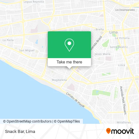
See Snack Bar, Magdalena, on the map
Public Transit to Snack Bar in Magdalena
Wondering how to get to Snack Bar in Magdalena? Moovit helps you find the best way to get to Snack Bar with step-by-step directions from the nearest public transit station.
Moovit provides free maps and live directions to help you navigate through your city. View schedules, routes, timetables, and find out how long does it take to get to Snack Bar in real time.
Looking for the nearest stop or station to Snack Bar? Check out this list of stops closest to your destination: Amazonas; 28 De Julio; La Marina; Sucre; Jirón Libertad; Brasil; Javier Prado.
Bus: 1024, 1111, 1272, 1302, 1475, 1482, 201, 1010, 1012, 1173, 1163, 1315, IM47, CR43, OM19, 204, 206, 209.
Want to see if there’s another route that gets you there at an earlier time? Moovit helps you find alternative routes or times. Get directions from and directions to Snack Bar easily from the Moovit App or Website.
We make riding to Snack Bar easy, which is why over 1.5 million users, including users in Magdalena, trust Moovit as the best app for public transit. You don’t need to download an individual bus app or train app, Moovit is your all-in-one transit app that helps you find the best bus time or train time available.
For information on prices of bus, costs and ride fares to Snack Bar, please check the Moovit app.
Use the app to navigate to popular places including to the airport, hospital, stadium, grocery store, mall, coffee shop, school, college, and university.
Snack Bar Address: Jirón Amazonas Cercado, 15086 Pueblo Libre street in Magdalena
- Fuente Soda,
- Amhole,
- Seven Spa,
- Garage Custom,
- Espinozavalverde Nidia Emilia,
- Maeida,
- Haro Sanchez Luis Enrique,
- Bodega Economica,
- Jr 8 de Octubre 486 Ex Amazonas,
- Mercado pueblo libre,
- El kUbil,
- JR 8 DE OCTUBRE 360,
- Minimundo,
- Fabibeauty,
- Pezone,
- Panadería,
- JR LIBERTAD CDRA 15 PUEBLO LIBRE,
- Bodega Ampi,
- CALLE LA LIBERTAD 1517,
- Amaut Fernandezalonso
Places Near Snack Bar (Magdalena)
- Gamarra,
- Pontificia Universidad Católica del Perú - PUCP, San Miguel,
- Larcomar, Miraflores,
- Barranco, Barranco,
- av arequipa, Lima,
- Av. La Marina, San Miguel,
- Hospital Edgardo Rebagliati Martins, Jesus Mari,
- Aeropuerto Internacional Jorge Chávez, Ventanilla,
- Circuito Mágico Del Agua, Lima,
- Real Plaza Puruchuco, Ate,
- Plaza San Miguel, San Miguel,
- Parque de las Leyendas, San Miguel,
- Miraflores, Miraflores,
- Parque Kennedy, Miraflores,
- Av. Abancay, Lima,
- Paradero Av.Brasil,
- Centro Comercial Plaza Norte, Independen,
- Jockey Plaza, Santiago D,
- Mall Del Sur,
- Av. Salaverry, Jesus Mari
How to get to popular places in Lima with public transit
Get around Magdalena by public transit!
Traveling around Magdalena has never been so easy. See step by step directions as you travel to any attraction, street or major public transit station. View bus and train schedules, arrival times, service alerts and detailed routes on a map, so you know exactly how to get to anywhere in Magdalena.
When traveling to any destination around Magdalena use Moovit's Live Directions with Get Off Notifications to know exactly where and how far to walk, how long to wait for your line, and how many stops are left. Moovit will alert you when it's time to get off — no need to constantly re-check whether yours is the next stop.
Wondering how to use public transit in Magdalena or how to pay for public transit in Magdalena? Moovit public transit app can help you navigate your way with public transit easily, and at minimum cost. It includes public transit fees, ticket prices, and costs. Looking for a map of Magdalena public transit lines? Moovit public transit app shows all public transit maps in Magdalena with all Bus, Metro and Ferry routes and stops on an interactive map.
Lima has 3 transit type(s), including: Bus, Metro and Ferry, operated by several transit agencies, including Metro de Lima Línea 2 , Metro de Lima, Corredor Rojo, Metropolitano, Metropolitano - Alimentadores, Corredor Morado, Corredor Azul, Rutas Tradicionales, Transportes y Servicios La Esperanza S.A., Las Flores S.A., Virgen de la Asunción S.A., Consorcio HAM, Transportes y Service Canadá S.A., ETUL4SA and ETUCHISA