Directions to Snowball Waterfalls (Washington, D.C. - Baltimore, MD) with public transportation
The following transit lines have routes that pass near Snowball Waterfalls
How to get to Snowball Waterfalls by bus?
Click on the bus route to see step by step directions with maps, line arrival times and updated time schedules.
From Montgomery Village, Maryland, Montgomery County
120 minFrom Montgomery County Fairgrounds, Montgomery County
137 minFrom Walmart Supercenter, Montgomery County
162 minFrom Clarksburg Premium Outlets, Montgomery County
334 minFrom Kaiser Permanente - Gaithersburg Medical Center, Montgomery County
139 minFrom Kentlands, Montgomery County
112 minFrom Astrazeneca HQ, Montgomery County
115 minFrom I-270 Exit 9A/B (I-370 / Sam Eig Hwy. Interchange), Montgomery County
135 minFrom Clarksburg Premium Outlets, Montgomery County
159 min
Bus stop near Snowball Waterfalls in Washington, D.C. - Baltimore, MD
- Waterside Drive at River Run Road (Waterside), 8 min walk,VIEW
Bus lines to Snowball Waterfalls in Washington, D.C. - Baltimore, MD
What are the closest stations to Snowball Waterfalls?
The closest stations to Snowball Waterfalls are:
- Waterside Drive at River Run Road (Waterside) is 655 yards away, 8 min walk.
Which bus line stops near Snowball Waterfalls?
515 (515/7 North Frederick Park & Ride)
What’s the nearest bus station to Snowball Waterfalls in Washington, D.C. - Baltimore, MD?
The nearest bus station to Snowball Waterfalls in Washington, D.C. - Baltimore, MD is Waterside Drive at River Run Road (Waterside). It’s a 8 min walk away.
What time is the first bus to Snowball Waterfalls in Washington, D.C. - Baltimore, MD?
The WALKERSVILLE MEET-THE-MARC SHUTTLE is the first bus that goes to Snowball Waterfalls in Washington, D.C. - Baltimore, MD. It stops nearby at 5:33 AM.
What time is the last bus to Snowball Waterfalls in Washington, D.C. - Baltimore, MD?
The NORTH FREDERICK SHUTTLE is the last bus that goes to Snowball Waterfalls in Washington, D.C. - Baltimore, MD. It stops nearby at 5:12 PM.
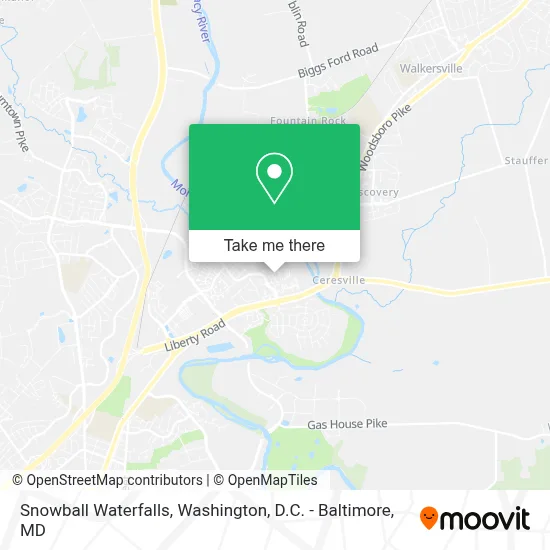
See Snowball Waterfalls, Washington, D.C. - Baltimore, MD, on the map
Public Transit to Snowball Waterfalls in Washington, D.C. - Baltimore, MD
Wondering how to get to Snowball Waterfalls in Washington, D.C. - Baltimore, MD? Moovit helps you find the best way to get to Snowball Waterfalls with step-by-step directions from the nearest public transit station.
Moovit provides free maps and live directions to help you navigate through your city. View schedules, routes, timetables, and find out how long does it take to get to Snowball Waterfalls in real time.
Looking for the nearest stop or station to Snowball Waterfalls? Check out this list of stops closest to your destination: Waterside Drive at River Run Road (Waterside).
Bus: 515, NORTH FREDERICK SHUTTLE, WALKERSVILLE MEET-THE-MARC SHUTTLE.
Want to see if there’s another route that gets you there at an earlier time? Moovit helps you find alternative routes or times. Get directions from and directions to Snowball Waterfalls easily from the Moovit App or Website.
We make riding to Snowball Waterfalls easy, which is why over 1.7 million users, including users in Washington, D.C. - Baltimore, MD, trust Moovit as the best app for public transit. You don’t need to download an individual bus app or train app, Moovit is your all-in-one transit app that helps you find the best bus time or train time available.
For information on prices of bus, costs and ride fares to Snowball Waterfalls, please check the Moovit app.
Use the app to navigate to popular places including to the airport, hospital, stadium, grocery store, mall, coffee shop, school, college, and university.
Location: Washington, D.C. - Baltimore, MD
- La Esquina Del Sabor,
- The Village 55+ Apartments at Worman's Mill,
- Ricci Italian Restaurant,
- Brows by Seyma,
- Elements Of Style Hair Salon,
- Capital One,
- Cristy Marecki-Digital And Social Media Expert,
- Forever Beautiful Llc,
- Monocacy River Behind Dearbought,
- Walmart,
- River's Edge Farm Soccer Fields,
- Walmart Supercenter,
- Koko’S Pets,
- Orchid Oasis Day Spa,
- Kimberlee’S Hair Studio,
- Bainbridge Market Commons,
- Frederick N,
- North Frederick Petsmart,
- His Way Christian Book,
- Riverside Corprate Park Frederick Maryland
Places Near Snowball Waterfalls (Washington, D.C. - Baltimore, MD)
- Westfield Montgomery Mall, Montgomery County,
- Amazon Hq2, Arlington County,
- The Anthem, Washington,
- M&T Bank Stadium, Baltimore,
- Camden Yards, Baltimore,
- National Theatre, Washington,
- Rock Creek Tennis Center, Washington,
- National Zoo, Washington,
- Basilica of the National Shrine, Washington,
- Museum Of The Bible, Washington,
- Capital One Arena, Washington,
- Sibley Memorial Hospital, Washington,
- National Museum of African American History and Culture, Washington,
- Marriott Marquis Washington, DC, Washington,
- Washington National Cathedral, Washington,
- Pennsylvania Ave NW (3rd st and pennsylvania), Washington,
- Georgetown, Washington,
- PG Mall, Prince George's County,
- Warner Theatre, Washington,
- Washington DC VA Medical Center, Washington
How to get to popular places in Washington, D.C. - Baltimore, MD with public transit
Get around Washington, D.C. - Baltimore, MD by public transit!
Traveling around Washington, D.C. - Baltimore, MD has never been so easy. See step by step directions as you travel to any attraction, street or major public transit station. View bus and train schedules, arrival times, service alerts and detailed routes on a map, so you know exactly how to get to anywhere in Washington, D.C. - Baltimore, MD.
When traveling to any destination around Washington, D.C. - Baltimore, MD use Moovit's Live Directions with Get Off Notifications to know exactly where and how far to walk, how long to wait for your line, and how many stops are left. Moovit will alert you when it's time to get off — no need to constantly re-check whether yours is the next stop.
Wondering how to use public transit in Washington, D.C. - Baltimore, MD or how to pay for public transit in Washington, D.C. - Baltimore, MD? Moovit public transit app can help you navigate your way with public transit easily, and at minimum cost. It includes public transit fees, ticket prices, and costs. Looking for a map of Washington, D.C. - Baltimore, MD public transit lines? Moovit public transit app shows all public transit maps in Washington, D.C. - Baltimore, MD with all Bus, Train, Metro, Light Rail and Ferry routes and stops on an interactive map.
Washington, D.C. - Baltimore, MD has 5 transit type(s), including: Bus, Train, Metro, Light Rail and Ferry, operated by several transit agencies, including WMATA, Montgomery County Ride On, Fairfax Connector, TheBus, PRTC, DASH - Alexandria, Arlington Transit (ART), RTA of Central Maryland, MDOT MTA, MDOT MTA Light RailLink, MDOT MTA Commuter Bus, MDOT MTA Local Bus, FXBGO!, Virginia Railway Express (VRE) and MARC