Directions to Social Buzz (Fall River) with public transportation
The following transit lines have routes that pass near Social Buzz
 Bus: 109, 9, PETER PAN, 199.
- Train: FALL RIVER/NEW BEDFORD.
How to get to Social Buzz by bus?
Click on the bus route to see step by step directions with maps, line arrival times and updated time schedules.
How to get to Social Buzz by train?
Click on the train route to see step by step directions with maps, line arrival times and updated time schedules.
Bus stops near Social Buzz in Fall River
Train station near Social Buzz in Fall River
- Fall River Depot, 37 min walk,VIEW
Bus lines to Social Buzz in Fall River
What are the closest stations to Social Buzz?
The closest stations to Social Buzz are:
- Bedford St And Orange St is 32 yards away, 1 min walk.
- Pleasant St And Fifteenth St is 304 yards away, 4 min walk.
- Fall River Depot is 3109 yards away, 37 min walk.
Which bus lines stop near Social Buzz?
These bus lines stop near Social Buzz: 109, 9, PETER PAN.
Which train line stops near Social Buzz?
FALL RIVER/NEW BEDFORD (#1909 | Fall River)
What’s the nearest bus station to Social Buzz in Fall River?
The nearest bus station to Social Buzz in Fall River is Bedford St And Orange St. It’s a 1 min walk away.
What time is the first train to Social Buzz in Fall River?
The FALL RIVER/NEW BEDFORD is the first train that goes to Social Buzz in Fall River. It stops nearby at 5:00 AM.
What time is the last train to Social Buzz in Fall River?
The FALL RIVER/NEW BEDFORD is the last train that goes to Social Buzz in Fall River. It stops nearby at 12:14 AM.
What time is the first bus to Social Buzz in Fall River?
The 109 is the first bus that goes to Social Buzz in Fall River. It stops nearby at 6:14 AM.
What time is the last bus to Social Buzz in Fall River?
The 9 is the last bus that goes to Social Buzz in Fall River. It stops nearby at 9:08 PM.
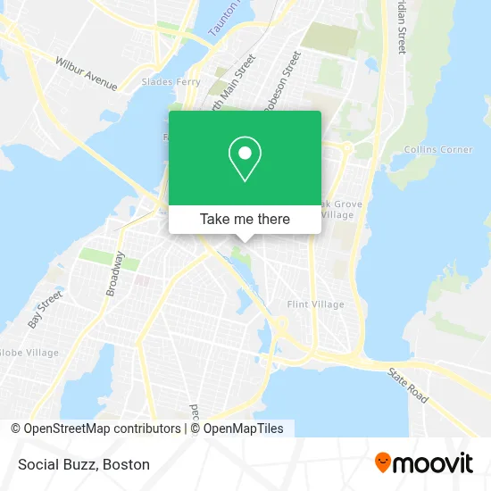
See Social Buzz, Fall River, on the map
Public Transit to Social Buzz in Fall River
Wondering how to get to Social Buzz in Fall River? Moovit helps you find the best way to get to Social Buzz with step-by-step directions from the nearest public transit station.
Moovit provides free maps and live directions to help you navigate through your city. View schedules, routes, timetables, and find out how long does it take to get to Social Buzz in real time.
Looking for the nearest stop or station to Social Buzz? Check out this list of stops closest to your destination: Bedford St And Orange St; Pleasant St And Fifteenth St; Fall River Depot.
Bus: 109, 9, PETER PAN, 199.Train: FALL RIVER/NEW BEDFORD.
Want to see if there’s another route that gets you there at an earlier time? Moovit helps you find alternative routes or times. Get directions from and directions to Social Buzz easily from the Moovit App or Website.
We make riding to Social Buzz easy, which is why over 1.7 million users, including users in Fall River, trust Moovit as the best app for public transit. You don’t need to download an individual bus app or train app, Moovit is your all-in-one transit app that helps you find the best bus time or train time available.
For information on prices of bus and train, costs and ride fares to Social Buzz, please check the Moovit app.
Use the app to navigate to popular places including to the airport, hospital, stadium, grocery store, mall, coffee shop, school, college, and university.
Location: Fall River, Boston
- St. Anthony of Padua Church,
- Popeyes LOUISIANA KITCHEN,
- Exp/Snipes 3034,
- The Snack Factory,
- Korber Hats,
- Red Circle Tactical Firearms Academy,
- Locksmith Fall River Ma,
- Jay's Smoke Shop-Fall,
- Margarida Electric,
- Potegp Spiritual Center,
- Fall River RMV,
- Registry of Motor Vehicles,
- Hassieb,
- Umami Sushi & Poke Bowl,
- Shaker Village Liquor World,
- FR Gas,
- Shaking Crab Express,
- Auto Rally, Inc,
- Refriderant Resoures,
- Total Control Systems
Places Near Social Buzz (Fall River)
- Quincy Market, Boston,
- Museum Of Science, Boston,
- Td Garden, Boston,
- Wang Theater, Boston,
- Boston Children's Hospital, Boston,
- Castle Island, Boston,
- Wilbur Theatre, Boston,
- Massachusetts General Hospital, Boston,
- Cheers, Boston,
- Prudential Center, Boston,
- Faneuil Hall, Boston,
- Boston Common, Boston,
- Boston Convention & Exhibition Center, Boston,
- Mgm Music Hall, Boston,
- Boston Medical Center, Boston,
- House Of Blues, Boston,
- Isabella Stewart Gardner Museum, Boston,
- North End, Boston,
- Seaport District, Boston,
- Leader Bank Pavilion (Leader Bank Pavillion), Boston
How to get to popular places in Boston with public transit
Get around Fall River by public transit!
Traveling around Fall River has never been so easy. See step by step directions as you travel to any attraction, street or major public transit station. View bus and train schedules, arrival times, service alerts and detailed routes on a map, so you know exactly how to get to anywhere in Fall River.
When traveling to any destination around Fall River use Moovit's Live Directions with Get Off Notifications to know exactly where and how far to walk, how long to wait for your line, and how many stops are left. Moovit will alert you when it's time to get off — no need to constantly re-check whether yours is the next stop.
Wondering how to use public transit in Fall River or how to pay for public transit in Fall River? Moovit public transit app can help you navigate your way with public transit easily, and at minimum cost. It includes public transit fees, ticket prices, and costs. Looking for a map of Fall River public transit lines? Moovit public transit app shows all public transit maps in Fall River with all Bus, Train, Subway and Ferry routes and stops on an interactive map.
Boston has 4 transit type(s), including: Bus, Train, Subway and Ferry, operated by several transit agencies, including MBTA, Southeastern Regional Transit Authority, MetroWest Regional Transit Authority, Rhode Island Public Transit Authority, WRTA, Lowell Regional Transit Authority, Merrimack Valley Transit, Montachusett Regional Transit Authority, Cape Cod Regional Transit Authority, Brockton Area Transit Authority, Martha's Vineyard Transit Authority, the WAVE - Nantucket Regional Transit Authority, GATRA, Cape Ann Transportation Authority and Massport