How to get to Soco² by bus?
Click on the bus route to see step by step directions with maps, line arrival times and updated time schedules.
How to get to Soco² by train?
Click on the train route to see step by step directions with maps, line arrival times and updated time schedules.
Bus stops near Soco² in Fall River
Train station near Soco² in Fall River
- Fall River Depot, 32 min walk,VIEW
Bus lines to Soco² in Fall River
What are the closest stations to Soco²?
The closest stations to Soco² are:
- N Main St And Maple St is 60 yards away, 2 min walk.
- Central St And Durfee St is 330 yards away, 5 min walk.
- Highland Ave And Maple St is 347 yards away, 5 min walk.
- Fall River Depot is 2659 yards away, 32 min walk.
Which bus lines stop near Soco²?
These bus lines stop near Soco²: 102, 9, PETER PAN.
Which train line stops near Soco²?
FALL RIVER/NEW BEDFORD (#1909 | Fall River)
What’s the nearest bus station to Soco² in Fall River?
The nearest bus station to Soco² in Fall River is N Main St And Maple St. It’s a 2 min walk away.
What time is the first train to Soco² in Fall River?
The FALL RIVER/NEW BEDFORD is the first train that goes to Soco² in Fall River. It stops nearby at 5:00 AM.
What time is the last train to Soco² in Fall River?
The FALL RIVER/NEW BEDFORD is the last train that goes to Soco² in Fall River. It stops nearby at 12:14 AM.
What time is the first bus to Soco² in Fall River?
The 102 is the first bus that goes to Soco² in Fall River. It stops nearby at 6:01 AM.
What time is the last bus to Soco² in Fall River?
The 102 is the last bus that goes to Soco² in Fall River. It stops nearby at 9:19 PM.
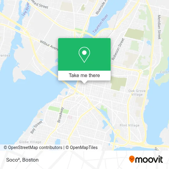
See Soco², Fall River, on the map
Public Transit to Soco² in Fall River
Wondering how to get to Soco² in Fall River? Moovit helps you find the best way to get to Soco² with step-by-step directions from the nearest public transit station.
Moovit provides free maps and live directions to help you navigate through your city. View schedules, routes, timetables, and find out how long does it take to get to Soco² in real time.
Looking for the nearest stop or station to Soco²? Check out this list of stops closest to your destination: N Main St And Maple St; Central St And Durfee St; Highland Ave And Maple St; Fall River Depot.
Bus: 102, 9, PETER PAN, 114, 108.Train: FALL RIVER/NEW BEDFORD.
Want to see if there’s another route that gets you there at an earlier time? Moovit helps you find alternative routes or times. Get directions from and directions to Soco² easily from the Moovit App or Website.
We make riding to Soco² easy, which is why over 1.7 million users, including users in Fall River, trust Moovit as the best app for public transit. You don’t need to download an individual bus app or train app, Moovit is your all-in-one transit app that helps you find the best bus time or train time available.
For information on prices of bus and train, costs and ride fares to Soco², please check the Moovit app.
Use the app to navigate to popular places including to the airport, hospital, stadium, grocery store, mall, coffee shop, school, college, and university.
Soco² Address: 292 N Main St street in Fall River
- R4l Media,
- Valley Vision Optical,
- Grace Orthodox Presbyterian Church Fall River,
- Bradford L Kilby,
- Weichert, Realtors - Sba Group,
- Keches Law Group,
- Kristin Lowney Norton Lawyer,
- Jeremy R Waxier Lawyer,
- Fraze Walter Jr,
- Iglesia Adventista de Fall River,
- Tco Technology,
- Ratcliffe Harten Galamaga LLP,
- United States Government,
- US Department of Agriculture,
- Sahady Associates, P.C.,
- Andrew Shabshelowitz Lawyer,
- Red Cross,
- New England Psychotherapy Group,
- Durfee High School,
- Peer2peer
Places Near Soco² (Fall River)
- Boston Medical Center, Boston,
- North End, Boston,
- Boston Convention & Exhibition Center, Boston,
- Faneuil Hall, Boston,
- Mgm Music Hall, Boston,
- Cheers, Boston,
- Td Garden, Boston,
- Leader Bank Pavilion (Leader Bank Pavillion), Boston,
- Seaport District, Boston,
- Boston Children's Hospital, Boston,
- Wilbur Theatre, Boston,
- Prudential Center, Boston,
- Boston Common, Boston,
- Museum Of Science, Boston,
- Quincy Market, Boston,
- House Of Blues, Boston,
- Isabella Stewart Gardner Museum, Boston,
- Castle Island, Boston,
- Massachusetts General Hospital, Boston,
- Wang Theater, Boston
How to get to popular places in Boston with public transit
Get around Fall River by public transit!
Traveling around Fall River has never been so easy. See step by step directions as you travel to any attraction, street or major public transit station. View bus and train schedules, arrival times, service alerts and detailed routes on a map, so you know exactly how to get to anywhere in Fall River.
When traveling to any destination around Fall River use Moovit's Live Directions with Get Off Notifications to know exactly where and how far to walk, how long to wait for your line, and how many stops are left. Moovit will alert you when it's time to get off — no need to constantly re-check whether yours is the next stop.
Wondering how to use public transit in Fall River or how to pay for public transit in Fall River? Moovit public transit app can help you navigate your way with public transit easily, and at minimum cost. It includes public transit fees, ticket prices, and costs. Looking for a map of Fall River public transit lines? Moovit public transit app shows all public transit maps in Fall River with all Bus, Train, Subway and Ferry routes and stops on an interactive map.
Boston has 4 transit type(s), including: Bus, Train, Subway and Ferry, operated by several transit agencies, including MBTA, Southeastern Regional Transit Authority, MetroWest Regional Transit Authority, Rhode Island Public Transit Authority, WRTA, Lowell Regional Transit Authority, Merrimack Valley Transit, Montachusett Regional Transit Authority, Cape Cod Regional Transit Authority, Brockton Area Transit Authority, Martha's Vineyard Transit Authority, the WAVE - Nantucket Regional Transit Authority, GATRA, Cape Ann Transportation Authority and Massport