Directions to Solymar Direct Health (Boston) with public transportation
The following transit lines have routes that pass near Solymar Direct Health
 Bus: 1, 14, 20.
- Train: PROVIDENCE/STOUGHTON.
How to get to Solymar Direct Health by bus?
Click on the bus route to see step by step directions with maps, line arrival times and updated time schedules.
How to get to Solymar Direct Health by train?
Click on the train route to see step by step directions with maps, line arrival times and updated time schedules.
Bus stops near Solymar Direct Health in Boston
Train station near Solymar Direct Health in Boston
- T.F. Green Airport, 13 min walk,VIEW
Bus lines to Solymar Direct Health in Boston
What are the closest stations to Solymar Direct Health?
The closest stations to Solymar Direct Health are:
- Jefferson Before Vermont is 377 yards away, 5 min walk.
- Post at Barden is 547 yards away, 7 min walk.
- T.F. Green Airport is 1035 yards away, 13 min walk.
Which bus lines stop near Solymar Direct Health?
These bus lines stop near Solymar Direct Health: 1, 14.
Which train line stops near Solymar Direct Health?
PROVIDENCE/STOUGHTON (#827 | Wickford Junction)
What’s the nearest train station to Solymar Direct Health in Boston?
The nearest train station to Solymar Direct Health in Boston is T.F. Green Airport. It’s a 13 min walk away.
What’s the nearest bus station to Solymar Direct Health in Boston?
The nearest bus station to Solymar Direct Health in Boston is Jefferson Before Vermont. It’s a 5 min walk away.
What time is the first train to Solymar Direct Health in Boston?
The PROVIDENCE/STOUGHTON is the first train that goes to Solymar Direct Health in Boston. It stops nearby at 6:00 AM.
What time is the last train to Solymar Direct Health in Boston?
The PROVIDENCE/STOUGHTON is the last train that goes to Solymar Direct Health in Boston. It stops nearby at 7:56 PM.
What time is the first bus to Solymar Direct Health in Boston?
The 14 is the first bus that goes to Solymar Direct Health in Boston. It stops nearby at 5:44 AM.
What time is the last bus to Solymar Direct Health in Boston?
The 20 is the last bus that goes to Solymar Direct Health in Boston. It stops nearby at 12:42 AM.
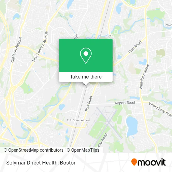
See Solymar Direct Health, Boston, on the map
Public Transit to Solymar Direct Health in Boston
Wondering how to get to Solymar Direct Health in Boston? Moovit helps you find the best way to get to Solymar Direct Health with step-by-step directions from the nearest public transit station.
Moovit provides free maps and live directions to help you navigate through your city. View schedules, routes, timetables, and find out how long does it take to get to Solymar Direct Health in real time.
Looking for the nearest stop or station to Solymar Direct Health? Check out this list of stops closest to your destination: Jefferson Before Vermont; Post at Barden; T.F. Green Airport.
Bus: 1, 14, 20.Train: PROVIDENCE/STOUGHTON.
Want to see if there’s another route that gets you there at an earlier time? Moovit helps you find alternative routes or times. Get directions from and directions to Solymar Direct Health easily from the Moovit App or Website.
We make riding to Solymar Direct Health easy, which is why over 1.7 million users, including users in Boston, trust Moovit as the best app for public transit. You don’t need to download an individual bus app or train app, Moovit is your all-in-one transit app that helps you find the best bus time or train time available.
For information on prices of bus and train, costs and ride fares to Solymar Direct Health, please check the Moovit app.
Use the app to navigate to popular places including to the airport, hospital, stadium, grocery store, mall, coffee shop, school, college, and university.
Solymar Direct Health Address: 300 Jefferson Blvd street in Boston
- Total Wellness Center,
- Sr Drivers Insurance Solutions of Warwick,
- Roba Dolca,
- Ryder System, Inc.,
- Wilco Development,
- Glenn Corporation an Azelis Company,
- Linde Welding Gas & Equipment Center,
- Mitchell Attorney Vincent at Law,
- Anzivino Kerri L,
- Ri Oral Surgery & Implant Center,
- Georgia Patsiopoulos Dr,
- Fatima Finamore,
- Kevin Clary,
- Roy Ragge, DMD,
- Brian Goldstein Law,
- Melvin E Hanzel DMD,
- Hors D' Ouevres Catering Example,
- Edible Creations by Gerry,
- Sara Stepalavich,
- Ring Stamps
Places Near Solymar Direct Health (Boston)
- Prudential Center, Boston,
- Museum Of Science, Boston,
- Seaport District, Boston,
- Boston Convention & Exhibition Center, Boston,
- Leader Bank Pavilion (Leader Bank Pavillion), Boston,
- Isabella Stewart Gardner Museum, Boston,
- Quincy Market, Boston,
- Wang Theater, Boston,
- Boston Common, Boston,
- House Of Blues, Boston,
- Cheers, Boston,
- Faneuil Hall, Boston,
- Mgm Music Hall, Boston,
- Boston Medical Center, Boston,
- Wilbur Theatre, Boston,
- Boston Children's Hospital, Boston,
- Castle Island, Boston,
- Td Garden, Boston,
- North End, Boston,
- Massachusetts General Hospital, Boston
How to get to popular places in Boston with public transit
Get around Boston by public transit!
Traveling around Boston has never been so easy. See step by step directions as you travel to any attraction, street or major public transit station. View bus and train schedules, arrival times, service alerts and detailed routes on a map, so you know exactly how to get to anywhere in Boston.
When traveling to any destination around Boston use Moovit's Live Directions with Get Off Notifications to know exactly where and how far to walk, how long to wait for your line, and how many stops are left. Moovit will alert you when it's time to get off — no need to constantly re-check whether yours is the next stop.
Wondering how to use public transit in Boston or how to pay for public transit in Boston? Moovit public transit app can help you navigate your way with public transit easily, and at minimum cost. It includes public transit fees, ticket prices, and costs. Looking for a map of Boston public transit lines? Moovit public transit app shows all public transit maps in Boston with all Bus, Train, Subway and Ferry routes and stops on an interactive map.
Boston has 4 transit type(s), including: Bus, Train, Subway and Ferry, operated by several transit agencies, including MBTA, Southeastern Regional Transit Authority, MetroWest Regional Transit Authority, Rhode Island Public Transit Authority, WRTA, Lowell Regional Transit Authority, Merrimack Valley Transit, Montachusett Regional Transit Authority, Cape Cod Regional Transit Authority, Brockton Area Transit Authority, Martha's Vineyard Transit Authority, the WAVE - Nantucket Regional Transit Authority, GATRA, Cape Ann Transportation Authority and Massport