How to get to Sonia Adams, Md by bus?
Click on the bus route to see step by step directions with maps, line arrival times and updated time schedules.
From Amazon Fulfillment Bos7, Fall River
131 minFrom RMV New Bedford, New Bedford
115 minFrom Charlton Memorial Hospital, Fall River
108 minFrom Bedford Industrial Park, New Bedford
118 minFrom Walmart Fall River Supercenter, Fall River
79 minFrom Bristol Community College, Fall River
90 minFrom Lizzy Borden House, Fall River
77 minFrom B.M.C. Durfee High School, Fall River
119 min
Bus stop near Sonia Adams, Md in Boston
- Hawthorn Medical, 23 min walk,VIEW
Bus lines to Sonia Adams, Md in Boston
- 210, Terminal,VIEW
What are the closest stations to Sonia Adams, Md?
The closest stations to Sonia Adams, Md are:
- Hawthorn Medical is 1917 yards away, 23 min walk.
Which bus lines stop near Sonia Adams, Md?
These bus lines stop near Sonia Adams, Md: 210, 9.
What time is the first bus to Sonia Adams, Md in Boston?
The 210 is the first bus that goes to Sonia Adams, Md in Boston. It stops nearby at 6:11 AM.
What time is the last bus to Sonia Adams, Md in Boston?
The 210 is the last bus that goes to Sonia Adams, Md in Boston. It stops nearby at 6:12 PM.
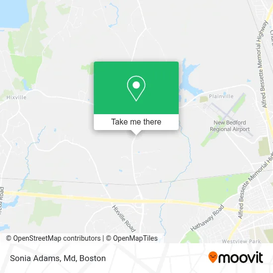
See Sonia Adams, Md, Boston, on the map
Public Transit to Sonia Adams, Md in Boston
Wondering how to get to Sonia Adams, Md in Boston? Moovit helps you find the best way to get to Sonia Adams, Md with step-by-step directions from the nearest public transit station.
Moovit provides free maps and live directions to help you navigate through your city. View schedules, routes, timetables, and find out how long does it take to get to Sonia Adams, Md in real time.
Looking for the nearest stop or station to Sonia Adams, Md? Check out this list of stops closest to your destination: Hawthorn Medical.
Bus: 210, 9.
Want to see if there’s another route that gets you there at an earlier time? Moovit helps you find alternative routes or times. Get directions from and directions to Sonia Adams, Md easily from the Moovit App or Website.
We make riding to Sonia Adams, Md easy, which is why over 1.7 million users, including users in Boston, trust Moovit as the best app for public transit. You don’t need to download an individual bus app or train app, Moovit is your all-in-one transit app that helps you find the best bus time or train time available.
For information on prices of bus, costs and ride fares to Sonia Adams, Md, please check the Moovit app.
Use the app to navigate to popular places including to the airport, hospital, stadium, grocery store, mall, coffee shop, school, college, and university.
Sonia Adams, Md Address: 531 Faunce Corner Rd street in Boston
- Agata K Brys, MD,
- Karen McGinnis, MD,
- Paul Milhoua MD,
- Karen Bergeron, Pa,
- Gogel Phillips & Garcia,
- Southcoast Behavioral Health Hospital,
- Hawthorne Medical,
- Luc Suzelle,
- Attitude Academy of Performing Arts,
- Mak Electric,
- Flag Swamp,
- NE Ent,
- Radiology PF at FCR,
- Dr. Victoria Bruegel MD,
- Prenatal Diagnosis Center,
- James I. Merlin, Od,
- Victor E Pricolo MD,
- Medi-Spa at the Fox Center,
- Apponegansett Swamp,
- Great Cedar Swamp
Places Near Sonia Adams, Md (Boston)
- Wang Theater, Boston,
- Prudential Center, Boston,
- Td Garden, Boston,
- Faneuil Hall, Boston,
- Seaport District, Boston,
- Cheers, Boston,
- Castle Island, Boston,
- Massachusetts General Hospital, Boston,
- Quincy Market, Boston,
- House Of Blues, Boston,
- North End, Boston,
- Isabella Stewart Gardner Museum, Boston,
- Boston Convention & Exhibition Center, Boston,
- Boston Medical Center, Boston,
- Museum Of Science, Boston,
- Boston Common, Boston,
- Boston Children's Hospital, Boston,
- Mgm Music Hall, Boston,
- Leader Bank Pavilion (Leader Bank Pavillion), Boston,
- Wilbur Theatre, Boston
How to get to popular places in Boston with public transit
Get around Boston by public transit!
Traveling around Boston has never been so easy. See step by step directions as you travel to any attraction, street or major public transit station. View bus and train schedules, arrival times, service alerts and detailed routes on a map, so you know exactly how to get to anywhere in Boston.
When traveling to any destination around Boston use Moovit's Live Directions with Get Off Notifications to know exactly where and how far to walk, how long to wait for your line, and how many stops are left. Moovit will alert you when it's time to get off — no need to constantly re-check whether yours is the next stop.
Wondering how to use public transit in Boston or how to pay for public transit in Boston? Moovit public transit app can help you navigate your way with public transit easily, and at minimum cost. It includes public transit fees, ticket prices, and costs. Looking for a map of Boston public transit lines? Moovit public transit app shows all public transit maps in Boston with all Bus, Train, Subway and Ferry routes and stops on an interactive map.
Boston has 4 transit type(s), including: Bus, Train, Subway and Ferry, operated by several transit agencies, including MBTA, Southeastern Regional Transit Authority, MetroWest Regional Transit Authority, Rhode Island Public Transit Authority, WRTA, Lowell Regional Transit Authority, Merrimack Valley Transit, Montachusett Regional Transit Authority, Cape Cod Regional Transit Authority, Brockton Area Transit Authority, Martha's Vineyard Transit Authority, the WAVE - Nantucket Regional Transit Authority, GATRA, Cape Ann Transportation Authority and Massport