Directions to Sophelle (Framingham) with public transportation
The following transit lines have routes that pass near Sophelle
 Bus: 02, 03, 04N, FH, FLIXBUS 2611.
- Train: FRAMINGHAM/WORCESTER, LAKE SHORE LIMITED.
How to get to Sophelle by bus?
Click on the bus route to see step by step directions with maps, line arrival times and updated time schedules.
From Marlborough, MA, Marlborough
122 minFrom Staples Corporate HQ, Framingham
52 minFrom Wellesley, MA, Wellesley
63 minFrom Boston Marriott Newton, Newton
91 minFrom Bose Corp, Framingham
64 minFrom Hopkinton, MA, Hopkinton
83 minFrom I-95 / Route 128 & Route 16 Interchange (Exit 21), Newton
65 minFrom Babson College, Wellesley
60 minFrom Newton Wellesley Hospital Green Building, Newton
69 min
How to get to Sophelle by train?
Click on the train route to see step by step directions with maps, line arrival times and updated time schedules.
Bus stops near Sophelle in Framingham
Train stations near Sophelle in Framingham
Bus lines to Sophelle in Framingham
What are the closest stations to Sophelle?
The closest stations to Sophelle are:
- Framingham Logan Express is 968 yards away, 12 min walk.
- Shoppers World Shelter is 986 yards away, 12 min walk.
- Super Stop And Shop is 1113 yards away, 14 min walk.
- Eagle Rock Apartments is 1544 yards away, 19 min walk.
- West Natick is 4243 yards away, 50 min walk.
- Framingham Amtrak is 4932 yards away, 59 min walk.
Which bus lines stop near Sophelle?
These bus lines stop near Sophelle: 02, 03, 04N.
Which train line stops near Sophelle?
FRAMINGHAM/WORCESTER (#521 | Worcester)
What’s the nearest bus station to Sophelle in Framingham?
The nearest bus stations to Sophelle in Framingham are Framingham Logan Express and Shoppers World Shelter. The closest one is a 12 min walk away.
What time is the first train to Sophelle in Framingham?
The FRAMINGHAM/WORCESTER is the first train that goes to Sophelle in Framingham. It stops nearby at 4:54 AM.
What time is the last train to Sophelle in Framingham?
The LAKE SHORE LIMITED is the last train that goes to Sophelle in Framingham. It stops nearby at 8:00 PM.
What time is the first bus to Sophelle in Framingham?
The FH is the first bus that goes to Sophelle in Framingham. It stops nearby at 3:00 AM.
What time is the last bus to Sophelle in Framingham?
The FH is the last bus that goes to Sophelle in Framingham. It stops nearby at 2:15 AM.
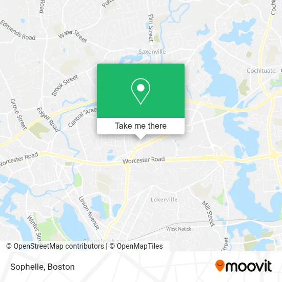
See Sophelle, Framingham, on the map
Public Transit to Sophelle in Framingham
Wondering how to get to Sophelle in Framingham? Moovit helps you find the best way to get to Sophelle with step-by-step directions from the nearest public transit station.
Moovit provides free maps and live directions to help you navigate through your city. View schedules, routes, timetables, and find out how long does it take to get to Sophelle in real time.
Looking for the nearest stop or station to Sophelle? Check out this list of stops closest to your destination: Framingham Logan Express; Shoppers World Shelter; Super Stop And Shop; Eagle Rock Apartments; West Natick; Framingham Amtrak.
Bus: 02, 03, 04N, FH, FLIXBUS 2611, 09, MWES.Train: FRAMINGHAM/WORCESTER, LAKE SHORE LIMITED.
Want to see if there’s another route that gets you there at an earlier time? Moovit helps you find alternative routes or times. Get directions from and directions to Sophelle easily from the Moovit App or Website.
We make riding to Sophelle easy, which is why over 1.7 million users, including users in Framingham, trust Moovit as the best app for public transit. You don’t need to download an individual bus app or train app, Moovit is your all-in-one transit app that helps you find the best bus time or train time available.
For information on prices of bus and train, costs and ride fares to Sophelle, please check the Moovit app.
Use the app to navigate to popular places including to the airport, hospital, stadium, grocery store, mall, coffee shop, school, college, and university.
Sophelle Address: 945 Concord St street in Framingham
- Law Office of Michael J. Brothers,
- Boston3dproperty,
- Patience Noah Insurance,
- Sunrise Solutions,
- Flex Execs,
- Caswell Plumbing and Heating,
- Surefactor.Com,
- Lee D Sanderson CPA,
- Agarwal Immigration Connections,
- TOYOTA Motor Insurance Service,
- Fednor Transportation LLC,
- Vijil Davis LLC,
- Massachusetts / New England Independent Automobile Dealers Association,
- Law Office of Paul M Ngobeni,
- Larsen Tax & Financial Service,
- CJ Masonry and Construction,
- The Buyers Broker,
- Trust Falco & Associates,
- Ash Wasilidas, CPA Firm,
- Trauner Consulting Services
Places Near Sophelle (Framingham)
- Castle Island, Boston,
- North End, Boston,
- Td Garden, Boston,
- House Of Blues, Boston,
- Leader Bank Pavilion (Leader Bank Pavillion), Boston,
- Boston Common, Boston,
- Mgm Music Hall, Boston,
- Wang Theater, Boston,
- Boston Children's Hospital, Boston,
- Museum Of Science, Boston,
- Massachusetts General Hospital, Boston,
- Boston Medical Center, Boston,
- Seaport District, Boston,
- Prudential Center, Boston,
- Faneuil Hall, Boston,
- Quincy Market, Boston,
- Isabella Stewart Gardner Museum, Boston,
- Boston Convention & Exhibition Center, Boston,
- Cheers, Boston,
- Wilbur Theatre, Boston
How to get to popular places in Boston with public transit
Get around Framingham by public transit!
Traveling around Framingham has never been so easy. See step by step directions as you travel to any attraction, street or major public transit station. View bus and train schedules, arrival times, service alerts and detailed routes on a map, so you know exactly how to get to anywhere in Framingham.
When traveling to any destination around Framingham use Moovit's Live Directions with Get Off Notifications to know exactly where and how far to walk, how long to wait for your line, and how many stops are left. Moovit will alert you when it's time to get off — no need to constantly re-check whether yours is the next stop.
Wondering how to use public transit in Framingham or how to pay for public transit in Framingham? Moovit public transit app can help you navigate your way with public transit easily, and at minimum cost. It includes public transit fees, ticket prices, and costs. Looking for a map of Framingham public transit lines? Moovit public transit app shows all public transit maps in Framingham with all Bus, Train, Subway and Ferry routes and stops on an interactive map.
Boston has 4 transit type(s), including: Bus, Train, Subway and Ferry, operated by several transit agencies, including MBTA, Southeastern Regional Transit Authority, MetroWest Regional Transit Authority, Rhode Island Public Transit Authority, WRTA, Lowell Regional Transit Authority, Merrimack Valley Transit, Montachusett Regional Transit Authority, Cape Cod Regional Transit Authority, Brockton Area Transit Authority, Martha's Vineyard Transit Authority, the WAVE - Nantucket Regional Transit Authority, GATRA, Cape Ann Transportation Authority and Massport