Directions to Spectrum Health Systems (Framingham) with public transportation
The following transit lines have routes that pass near Spectrum Health Systems
 Bus: 04N, 04S, 05, 07, 02.
- Train: FRAMINGHAM/WORCESTER, LAKE SHORE LIMITED.
How to get to Spectrum Health Systems by bus?
Click on the bus route to see step by step directions with maps, line arrival times and updated time schedules.
How to get to Spectrum Health Systems by train?
Click on the train route to see step by step directions with maps, line arrival times and updated time schedules.
Bus stops near Spectrum Health Systems in Framingham
Train stations near Spectrum Health Systems in Framingham
Bus lines to Spectrum Health Systems in Framingham
- 02, RT02,VIEW
- 03, RT03,VIEW
- 04N, RT04N,VIEW
- 01, RT01,VIEW
- 05, RT05,VIEW
- 06, RT06,VIEW
- 07, RT07,VIEW
- 09, RT09,VIEW
- 10, RT10,VIEW
- 11, RT11,VIEW
- 14, RT14,VIEW
- 07C, RT07C,VIEW
- MBCS, Mass Bay Campus to Campus Shuttle,VIEW
- MBRS, Mass Bay Riverside Shuttle,VIEW
- MWES, MathWorks Framingham Shuttle,VIEW
- NCS, MathWorks Natick Shuttle,VIEW
- 04S, RT04S,VIEW
- WORCESTER LINE SHUTTLE, Framingham (Shuttle),VIEW
- GREYHOUND US0270S, Albany Bus Terminal, NY,VIEW
What are the closest stations to Spectrum Health Systems?
The closest stations to Spectrum Health Systems are:
- Metrowest Medical Center is 764 yards away, 10 min walk.
- Blandin Hub is 1027 yards away, 13 min walk.
- Framingham Mbta Station is 1479 yards away, 18 min walk.
- Framingham (Framingham Intermodal) is 1547 yards away, 19 min walk.
- West Natick is 3229 yards away, 38 min walk.
- Framingham Amtrak is 5304 yards away, 63 min walk.
Which bus lines stop near Spectrum Health Systems?
These bus lines stop near Spectrum Health Systems: 04N, 04S, 05, 07.
Which train line stops near Spectrum Health Systems?
FRAMINGHAM/WORCESTER (#521 | Worcester)
What’s the nearest bus station to Spectrum Health Systems in Framingham?
The nearest bus station to Spectrum Health Systems in Framingham is Metrowest Medical Center. It’s a 10 min walk away.
What time is the first train to Spectrum Health Systems in Framingham?
The FRAMINGHAM/WORCESTER is the first train that goes to Spectrum Health Systems in Framingham. It stops nearby at 4:54 AM.
What time is the last train to Spectrum Health Systems in Framingham?
The LAKE SHORE LIMITED is the last train that goes to Spectrum Health Systems in Framingham. It stops nearby at 8:00 PM.
What time is the first bus to Spectrum Health Systems in Framingham?
The 07C is the first bus that goes to Spectrum Health Systems in Framingham. It stops nearby at 5:00 AM.
What time is the last bus to Spectrum Health Systems in Framingham?
The 07 is the last bus that goes to Spectrum Health Systems in Framingham. It stops nearby at 11:36 PM.
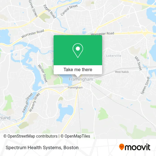
See Spectrum Health Systems, Framingham, on the map
Public Transit to Spectrum Health Systems in Framingham
Wondering how to get to Spectrum Health Systems in Framingham? Moovit helps you find the best way to get to Spectrum Health Systems with step-by-step directions from the nearest public transit station.
Moovit provides free maps and live directions to help you navigate through your city. View schedules, routes, timetables, and find out how long does it take to get to Spectrum Health Systems in real time.
Looking for the nearest stop or station to Spectrum Health Systems? Check out this list of stops closest to your destination: Metrowest Medical Center; Blandin Hub; Framingham Mbta Station; Framingham (Framingham Intermodal); West Natick; Framingham Amtrak.
Bus: 04N, 04S, 05, 07, 02, 03, 01, 06, 09, WORCESTER LINE SHUTTLE, GREYHOUND US0270S.Train: FRAMINGHAM/WORCESTER, LAKE SHORE LIMITED.
Want to see if there’s another route that gets you there at an earlier time? Moovit helps you find alternative routes or times. Get directions from and directions to Spectrum Health Systems easily from the Moovit App or Website.
We make riding to Spectrum Health Systems easy, which is why over 1.7 million users, including users in Framingham, trust Moovit as the best app for public transit. You don’t need to download an individual bus app or train app, Moovit is your all-in-one transit app that helps you find the best bus time or train time available.
For information on prices of bus and train, costs and ride fares to Spectrum Health Systems, please check the Moovit app.
Use the app to navigate to popular places including to the airport, hospital, stadium, grocery store, mall, coffee shop, school, college, and university.
Spectrum Health Systems Address: 68 Franklin St street in Framingham
- Segel Karen CNP,
- Alaska Boston,
- Martial Arts Supply Store,
- USA Enterprise,
- Brian Salerno Mortgage Loan Officer,
- Anastasia Pizza,
- Hope - Apostolic Church Ministry Inc,
- Great Call,
- Clinica de Estética Ellas,
- Zeldin Olga,
- Tiago Hair Stylist,
- Medical Resources Home Health,
- T-Mobile,
- Ostroff and Ostroff,
- The Star Beauty Salon,
- Day Spa,
- Bronzetti's Pizza,
- Stone Specialists,
- Capital Projects & Facilities Management,
- V and M Boutique
Places Near Spectrum Health Systems (Framingham)
- Boston Children's Hospital, Boston,
- Boston Common, Boston,
- Boston Medical Center, Boston,
- Boston Convention & Exhibition Center, Boston,
- Wilbur Theatre, Boston,
- Castle Island, Boston,
- Museum Of Science, Boston,
- Massachusetts General Hospital, Boston,
- Mgm Music Hall, Boston,
- Quincy Market, Boston,
- North End, Boston,
- Seaport District, Boston,
- Isabella Stewart Gardner Museum, Boston,
- House Of Blues, Boston,
- Cheers, Boston,
- Leader Bank Pavilion (Leader Bank Pavillion), Boston,
- Faneuil Hall, Boston,
- Prudential Center, Boston,
- Td Garden, Boston,
- Wang Theater, Boston
How to get to popular places in Boston with public transit
Get around Framingham by public transit!
Traveling around Framingham has never been so easy. See step by step directions as you travel to any attraction, street or major public transit station. View bus and train schedules, arrival times, service alerts and detailed routes on a map, so you know exactly how to get to anywhere in Framingham.
When traveling to any destination around Framingham use Moovit's Live Directions with Get Off Notifications to know exactly where and how far to walk, how long to wait for your line, and how many stops are left. Moovit will alert you when it's time to get off — no need to constantly re-check whether yours is the next stop.
Wondering how to use public transit in Framingham or how to pay for public transit in Framingham? Moovit public transit app can help you navigate your way with public transit easily, and at minimum cost. It includes public transit fees, ticket prices, and costs. Looking for a map of Framingham public transit lines? Moovit public transit app shows all public transit maps in Framingham with all Bus, Train, Subway and Ferry routes and stops on an interactive map.
Boston has 4 transit type(s), including: Bus, Train, Subway and Ferry, operated by several transit agencies, including MBTA, Southeastern Regional Transit Authority, MetroWest Regional Transit Authority, Rhode Island Public Transit Authority, WRTA, Lowell Regional Transit Authority, Merrimack Valley Transit, Montachusett Regional Transit Authority, Cape Cod Regional Transit Authority, Brockton Area Transit Authority, Martha's Vineyard Transit Authority, the WAVE - Nantucket Regional Transit Authority, GATRA, Cape Ann Transportation Authority and Massport