Directions to Speedmobi (Webster) with public transportation
The following transit lines have routes that pass near Speedmobi
 Bus: 42.
How to get to Speedmobi by bus?
Click on the bus route to see step by step directions with maps, line arrival times and updated time schedules.
From Polar Park, Worcester
60 minFrom South High Community School, Worcester
100 minFrom Dcu Center, Worcester
67 minFrom Palladium, Worcester
66 minFrom Registry Of Motor Vehicles (Rmv) Branch Office, Worcester
61 minFrom Walmart Supercenter, Worcester
96 minFrom St Vincent Hospital TH Medical, Worcester
61 minFrom Worcester, MA, Worcester
59 minFrom Saint Vincent Hospital at Worcester Medical Center, Worcester
80 min
Bus stop near Speedmobi in Webster
- East Main St at Slater, 12 min walk,VIEW
Bus lines to Speedmobi in Webster
- 42, Central Hub,VIEW
What are the closest stations to Speedmobi?
The closest stations to Speedmobi are:
- East Main St at Slater is 971 yards away, 12 min walk.
Which bus line stops near Speedmobi?
42 (Central Hub→Davis And Main Webster)
What’s the nearest bus station to Speedmobi in Webster?
The nearest bus station to Speedmobi in Webster is East Main St at Slater. It’s a 12 min walk away.
What time is the first bus to Speedmobi in Webster?
The 42 is the first bus that goes to Speedmobi in Webster. It stops nearby at 6:02 AM.
What time is the last bus to Speedmobi in Webster?
The 42 is the last bus that goes to Speedmobi in Webster. It stops nearby at 8:27 PM.
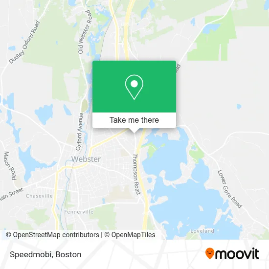
See Speedmobi, Webster, on the map
Public Transit to Speedmobi in Webster
Wondering how to get to Speedmobi in Webster? Moovit helps you find the best way to get to Speedmobi with step-by-step directions from the nearest public transit station.
Moovit provides free maps and live directions to help you navigate through your city. View schedules, routes, timetables, and find out how long does it take to get to Speedmobi in real time.
Looking for the nearest stop or station to Speedmobi? Check out this list of stops closest to your destination: East Main St at Slater.
Bus: 42.
Want to see if there’s another route that gets you there at an earlier time? Moovit helps you find alternative routes or times. Get directions from and directions to Speedmobi easily from the Moovit App or Website.
We make riding to Speedmobi easy, which is why over 1.7 million users, including users in Webster, trust Moovit as the best app for public transit. You don’t need to download an individual bus app or train app, Moovit is your all-in-one transit app that helps you find the best bus time or train time available.
For information on prices of bus, costs and ride fares to Speedmobi, please check the Moovit app.
Use the app to navigate to popular places including to the airport, hospital, stadium, grocery store, mall, coffee shop, school, college, and university.
Speedmobi Address: 31 Thompson Rd Ste 2 street in Webster
- Premier Fireplace and Grills,
- Dental Elements,
- Weight Watchers,
- UPS Access Point,
- Citadel Company,
- Q Barber Lounge,
- Old Paths Fellowship,
- On Point Nutrition,
- Trugreen,
- ATM,
- Gardenofglassma,
- FedEx,
- Lake Realty,
- Mass Capoeira,
- Iglesia MLT Webster,
- RE/MAX,
- Lock Hair Stylist,
- JS Management Liaisons,
- Commerce Bank,
- Berkshire Bank
Places Near Speedmobi (Webster)
- Wang Theater, Boston,
- Wilbur Theatre, Boston,
- Mgm Music Hall, Boston,
- House Of Blues, Boston,
- Seaport District, Boston,
- Massachusetts General Hospital, Boston,
- Cheers, Boston,
- Td Garden, Boston,
- Prudential Center, Boston,
- Faneuil Hall, Boston,
- Boston Medical Center, Boston,
- Boston Children's Hospital, Boston,
- Museum Of Science, Boston,
- Leader Bank Pavilion (Leader Bank Pavillion), Boston,
- Boston Common, Boston,
- Boston Convention & Exhibition Center, Boston,
- Quincy Market, Boston,
- Isabella Stewart Gardner Museum, Boston,
- Castle Island, Boston,
- North End, Boston
How to get to popular places in Boston with public transit
Get around Webster by public transit!
Traveling around Webster has never been so easy. See step by step directions as you travel to any attraction, street or major public transit station. View bus and train schedules, arrival times, service alerts and detailed routes on a map, so you know exactly how to get to anywhere in Webster.
When traveling to any destination around Webster use Moovit's Live Directions with Get Off Notifications to know exactly where and how far to walk, how long to wait for your line, and how many stops are left. Moovit will alert you when it's time to get off — no need to constantly re-check whether yours is the next stop.
Wondering how to use public transit in Webster or how to pay for public transit in Webster? Moovit public transit app can help you navigate your way with public transit easily, and at minimum cost. It includes public transit fees, ticket prices, and costs. Looking for a map of Webster public transit lines? Moovit public transit app shows all public transit maps in Webster with all Bus, Train, Subway and Ferry routes and stops on an interactive map.
Boston has 4 transit type(s), including: Bus, Train, Subway and Ferry, operated by several transit agencies, including MBTA, Southeastern Regional Transit Authority, MetroWest Regional Transit Authority, Rhode Island Public Transit Authority, WRTA, Lowell Regional Transit Authority, Merrimack Valley Transit, Montachusett Regional Transit Authority, Cape Cod Regional Transit Authority, Brockton Area Transit Authority, Martha's Vineyard Transit Authority, the WAVE - Nantucket Regional Transit Authority, GATRA, Cape Ann Transportation Authority and Massport