How to get to Spinelli's Pasta And Pastries by bus?
Click on the bus route to see step by step directions with maps, line arrival times and updated time schedules.
From Holiday Inn Express-Saugus, Saugus
97 minFrom AC Hotel Boston Cambridge, Cambridge
122 minFrom Hotel Hilton Boston/Woburn, Boston
71 minFrom Jamaica Pond, Boston
80 minFrom Beth Israel Deaconess Medical Center Is, Boston
61 minFrom Jamaica Plain, Boston
78 minFrom Revere Beach, Revere
56 minFrom Nahant Beach, Nahant
86 minFrom Kenmore Square, Boston
62 minFrom Massachusetts College of Art and Design, Boston
71 min
How to get to Spinelli's Pasta And Pastries by subway?
Click on the subway route to see step by step directions with maps, line arrival times and updated time schedules.
From AC Hotel Boston Cambridge, Cambridge
63 minFrom Massachusetts College of Art and Design, Boston
44 minFrom Hotel Hilton Boston/Woburn, Boston
41 minFrom Kenmore Square, Boston
38 minFrom Jamaica Pond, Boston
50 minFrom Beth Israel Deaconess Medical Center Is, Boston
31 minFrom Jamaica Plain, Boston
45 minFrom Revere Beach, Revere
37 min
Bus stops near Spinelli's Pasta And Pastries in Boston
Subway station near Spinelli's Pasta And Pastries in Boston
- Airport, 5 min walk,VIEW
Ferry station near Spinelli's Pasta And Pastries in Boston
- Lewis Mall Wharf, 16 min walk,VIEW
Bus lines to Spinelli's Pasta And Pastries in Boston
What are the closest stations to Spinelli's Pasta And Pastries?
The closest stations to Spinelli's Pasta And Pastries are:
- Lexington St @ Prescott St is 57 yards away, 1 min walk.
- Bennington St @ Prescott St is 329 yards away, 5 min walk.
- Bennington St @ Neptune Rd is 355 yards away, 5 min walk.
- Airport is 407 yards away, 5 min walk.
- Lewis Mall Wharf is 1357 yards away, 16 min walk.
Which bus lines stop near Spinelli's Pasta And Pastries?
These bus lines stop near Spinelli's Pasta And Pastries: 104, 116, 88, SL3.
Which subway line stops near Spinelli's Pasta And Pastries?
BLUE LINE (Wonderland)
What’s the nearest subway station to Spinelli's Pasta And Pastries in Boston?
The nearest subway station to Spinelli's Pasta And Pastries in Boston is Airport. It’s a 5 min walk away.
What’s the nearest bus station to Spinelli's Pasta And Pastries in Boston?
The nearest bus station to Spinelli's Pasta And Pastries in Boston is Lexington St @ Prescott St. It’s a 1 min walk away.
What’s the nearest ferry station to Spinelli's Pasta And Pastries in Boston?
The nearest ferry station to Spinelli's Pasta And Pastries in Boston is Lewis Mall Wharf. It’s a 16 min walk away.
What time is the first subway to Spinelli's Pasta And Pastries in Boston?
The BLUE LINE is the first subway that goes to Spinelli's Pasta And Pastries in Boston. It stops nearby at 5:10 AM.
What time is the last subway to Spinelli's Pasta And Pastries in Boston?
The BLUE LINE is the last subway that goes to Spinelli's Pasta And Pastries in Boston. It stops nearby at 2:01 AM.
What time is the first bus to Spinelli's Pasta And Pastries in Boston?
The 120 is the first bus that goes to Spinelli's Pasta And Pastries in Boston. It stops nearby at 5:32 AM.
What time is the last bus to Spinelli's Pasta And Pastries in Boston?
The 120 is the last bus that goes to Spinelli's Pasta And Pastries in Boston. It stops nearby at 1:24 AM.
What time is the first ferry to Spinelli's Pasta And Pastries in Boston?
The EAST is the first ferry that goes to Spinelli's Pasta And Pastries in Boston. It stops nearby at 5:55 AM.
What time is the last ferry to Spinelli's Pasta And Pastries in Boston?
The EAST BOSTON FERRY is the last ferry that goes to Spinelli's Pasta And Pastries in Boston. It stops nearby at 7:55 PM.
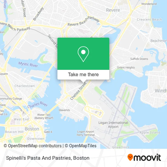
See Spinelli's Pasta And Pastries, Boston, on the map
Public Transit to Spinelli's Pasta And Pastries in Boston
Wondering how to get to Spinelli's Pasta And Pastries in Boston? Moovit helps you find the best way to get to Spinelli's Pasta And Pastries with step-by-step directions from the nearest public transit station.
Moovit provides free maps and live directions to help you navigate through your city. View schedules, routes, timetables, and find out how long does it take to get to Spinelli's Pasta And Pastries in real time.
Looking for the nearest stop or station to Spinelli's Pasta And Pastries? Check out this list of stops closest to your destination: Lexington St @ Prescott St; Bennington St @ Prescott St; Bennington St @ Neptune Rd; Airport; Lewis Mall Wharf.
Bus: 104, 116, 88, SL3, 121, 120, 112.Subway: BLUE LINE.Ferry: EAST BOSTON FERRY, EAST.
Want to see if there’s another route that gets you there at an earlier time? Moovit helps you find alternative routes or times. Get directions from and directions to Spinelli's Pasta And Pastries easily from the Moovit App or Website.
We make riding to Spinelli's Pasta And Pastries easy, which is why over 1.7 million users, including users in Boston, trust Moovit as the best app for public transit. You don’t need to download an individual bus app or train app, Moovit is your all-in-one transit app that helps you find the best bus time or train time available.
For information on prices of subway and bus, costs and ride fares to Spinelli's Pasta And Pastries, please check the Moovit app.
Use the app to navigate to popular places including to the airport, hospital, stadium, grocery store, mall, coffee shop, school, college, and university.
Spinelli's Pasta And Pastries Address: 282 Bennington St street in Boston
- El Palmar Restaurant (El Palma Restaurant),
- Boston Public Library - East Boston Branch,
- Jeveli's (Jeveli's Restaurant East Boston, MA),
- Tienda Taqueria (Tignda and Taqueria Guadalajara),
- Eagle Hill,
- Shelby St. hq,
- Oliveira's East Boston,
- Superior Luggage (Luggage Repair),
- Boston Latin DJS,
- Joe Scoolabasta the Seagull Inn,
- Boston Logan Intl Airport,
- Rino's Place,
- Economy Lot Logan Airport,
- Sacred Heart Parish (Sacred Heart Italian Church),
- Entrance I-90 E,
- East Boston,
- Wood Island Station,
- Logan Express,
- Massport bus 55 All terminals, MBTA Blue Line and rental car center,
- America Soccer Store
Places Near Spinelli's Pasta And Pastries (Boston)
- Prudential Center, Boston,
- Museum Of Science, Boston,
- Seaport District, Boston,
- Boston Convention & Exhibition Center, Boston,
- Leader Bank Pavilion (Leader Bank Pavillion), Boston,
- Isabella Stewart Gardner Museum, Boston,
- Quincy Market, Boston,
- Wang Theater, Boston,
- Boston Common, Boston,
- House Of Blues, Boston,
- Cheers, Boston,
- Faneuil Hall, Boston,
- Mgm Music Hall, Boston,
- Boston Medical Center, Boston,
- Wilbur Theatre, Boston,
- Boston Children's Hospital, Boston,
- Castle Island, Boston,
- Td Garden, Boston,
- North End, Boston,
- Massachusetts General Hospital, Boston
How to get to popular places in Boston with public transit
Get around Boston by public transit!
Traveling around Boston has never been so easy. See step by step directions as you travel to any attraction, street or major public transit station. View bus and train schedules, arrival times, service alerts and detailed routes on a map, so you know exactly how to get to anywhere in Boston.
When traveling to any destination around Boston use Moovit's Live Directions with Get Off Notifications to know exactly where and how far to walk, how long to wait for your line, and how many stops are left. Moovit will alert you when it's time to get off — no need to constantly re-check whether yours is the next stop.
Wondering how to use public transit in Boston or how to pay for public transit in Boston? Moovit public transit app can help you navigate your way with public transit easily, and at minimum cost. It includes public transit fees, ticket prices, and costs. Looking for a map of Boston public transit lines? Moovit public transit app shows all public transit maps in Boston with all Bus, Train, Subway and Ferry routes and stops on an interactive map.
Boston has 4 transit type(s), including: Bus, Train, Subway and Ferry, operated by several transit agencies, including MBTA, Southeastern Regional Transit Authority, MetroWest Regional Transit Authority, Rhode Island Public Transit Authority, WRTA, Lowell Regional Transit Authority, Merrimack Valley Transit, Montachusett Regional Transit Authority, Cape Cod Regional Transit Authority, Brockton Area Transit Authority, Martha's Vineyard Transit Authority, the WAVE - Nantucket Regional Transit Authority, GATRA, Cape Ann Transportation Authority and Massport