How to get to Spring Rock Strategies by bus?
Click on the bus route to see step by step directions with maps, line arrival times and updated time schedules.
From National Museum of Natural History, Washington
89 minFrom Glover Park Hotel Georgetown, Washington
60 minFrom Smithsonian National Museum of Natural History (National Museum of Natural History), Washington
94 minFrom The Dabney, Washington
92 minFrom Homewood Suites by Hilton Arlington Rosslyn Key Bridge, Arlington County
45 minFrom CityCenter DC, Washington
83 minFrom Capital Hilton, Washington
63 minFrom Black Cat, Washington
90 minFrom J. Edgar Hoover Building, Washington
88 minFrom Georgetown Cupcake, Washington
44 min
How to get to Spring Rock Strategies by metro?
Click on the metro route to see step by step directions with maps, line arrival times and updated time schedules.
From National Museum of Natural History, Washington
70 minFrom Smithsonian National Museum of Natural History (National Museum of Natural History), Washington
71 minFrom The Dabney, Washington
80 minFrom Homewood Suites by Hilton Arlington Rosslyn Key Bridge, Arlington County
66 minFrom CityCenter DC, Washington
69 minFrom Capital Hilton, Washington
66 minFrom Black Cat, Washington
86 minFrom J. Edgar Hoover Building, Washington
69 minFrom Georgetown Cupcake, Washington
71 min
Metro station near Spring Rock Strategies in Arlington County
- Virginia Square-Gmu Metro Station, 3 min walk,VIEW
Bus stops near Spring Rock Strategies in Arlington County
Bus lines to Spring Rock Strategies in Arlington County
What are the closest stations to Spring Rock Strategies?
The closest stations to Spring Rock Strategies are:
- Virginia Square-Gmu Metro Station is 240 yards away, 3 min walk.
- Yorktown Blvd Wb @ 30th St N Ns is 287 yards away, 4 min walk.
- Old Dominion Dr+Little Falls Rd is 649 yards away, 8 min walk.
Which bus line stops near Spring Rock Strategies?
52 (Ballston)
Which metro lines stop near Spring Rock Strategies?
These metro lines stop near Spring Rock Strategies: ORANGE, SILVER.
What’s the nearest metro station to Spring Rock Strategies in Arlington County?
The nearest metro station to Spring Rock Strategies in Arlington County is Virginia Square-Gmu Metro Station. It’s a 3 min walk away.
What’s the nearest bus station to Spring Rock Strategies in Arlington County?
The nearest bus station to Spring Rock Strategies in Arlington County is Yorktown Blvd Wb @ 30th St N Ns. It’s a 4 min walk away.
What time is the first metro to Spring Rock Strategies in Arlington County?
The ORANGE is the first metro that goes to Spring Rock Strategies in Arlington County. It stops nearby at 5:07 AM.
What time is the last metro to Spring Rock Strategies in Arlington County?
The SILVER is the last metro that goes to Spring Rock Strategies in Arlington County. It stops nearby at 12:31 AM.
What time is the first bus to Spring Rock Strategies in Arlington County?
The A70 is the first bus that goes to Spring Rock Strategies in Arlington County. It stops nearby at 5:27 AM.
What time is the last bus to Spring Rock Strategies in Arlington County?
The A70 is the last bus that goes to Spring Rock Strategies in Arlington County. It stops nearby at 12:34 AM.
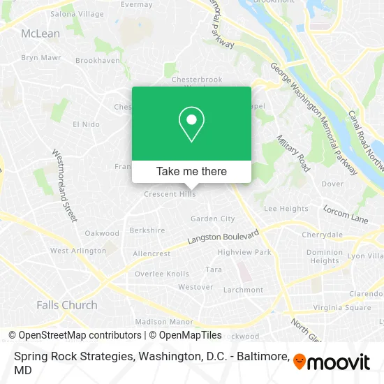
See Spring Rock Strategies, Arlington County, on the map
Public Transit to Spring Rock Strategies in Arlington County
Wondering how to get to Spring Rock Strategies in Arlington County? Moovit helps you find the best way to get to Spring Rock Strategies with step-by-step directions from the nearest public transit station.
Moovit provides free maps and live directions to help you navigate through your city. View schedules, routes, timetables, and find out how long does it take to get to Spring Rock Strategies in real time.
Looking for the nearest stop or station to Spring Rock Strategies? Check out this list of stops closest to your destination: Virginia Square-Gmu Metro Station; Yorktown Blvd Wb @ 30th St N Ns; Old Dominion Dr+Little Falls Rd.
Bus: 52, A70.Metro: ORANGE, SILVER.
Want to see if there’s another route that gets you there at an earlier time? Moovit helps you find alternative routes or times. Get directions from and directions to Spring Rock Strategies easily from the Moovit App or Website.
We make riding to Spring Rock Strategies easy, which is why over 1.5 million users, including users in Arlington County, trust Moovit as the best app for public transit. You don’t need to download an individual bus app or train app, Moovit is your all-in-one transit app that helps you find the best bus time or train time available.
For information on prices of bus and metro, costs and ride fares to Spring Rock Strategies, please check the Moovit app.
Use the app to navigate to popular places including to the airport, hospital, stadium, grocery store, mall, coffee shop, school, college, and university.
Spring Rock Strategies Address: 3033 N Florida St Arlington, VA 22207 street in Arlington County
- Yorktown High School,
- Linda Murphy,
- Tax Matters,
- Sarah Riley Pottery,
- Yorktown,
- Yorktown, Virginia,
- Garden City, Virginia,
- Stoker Residential,
- Lucky Dog Wall,
- Tom Francis Real Estate Group,
- Tops Cleaners,
- Duck Donuts,
- Sila Heating, Air Conditioning & Plumbing,
- Ask1expert,
- Hair Cuttery,
- BD Organic Eats,
- Washington Golf and Country Club,
- Lee Harrison Shopping Center,
- STARBUCKS,
- Coinstar - Bitcoin ATM
Places Near Spring Rock Strategies (Arlington County)
- National Museum of African American History and Culture, Washington,
- Westfield Montgomery Mall, Montgomery County,
- Warner Theatre, Washington,
- Sibley Memorial Hospital, Washington,
- Washington National Cathedral, Washington,
- Georgetown, Washington,
- Rock Creek Tennis Center, Washington,
- The Anthem, Washington,
- Basilica of the National Shrine, Washington,
- PG Mall, Prince George's County,
- M&T Bank Stadium, Baltimore,
- National Theatre, Washington,
- Amazon Hq2, Arlington County,
- Camden Yards, Baltimore,
- Washington DC VA Medical Center, Washington,
- Capital One Arena, Washington,
- Museum Of The Bible, Washington,
- National Zoo, Washington,
- Pennsylvania Ave NW (3rd st and pennsylvania), Washington,
- Marriott Marquis Washington, DC, Washington
How to get to popular places in Washington, D.C. - Baltimore, MD with public transit
Get around Arlington County by public transit!
Traveling around Arlington County has never been so easy. See step by step directions as you travel to any attraction, street or major public transit station. View bus and train schedules, arrival times, service alerts and detailed routes on a map, so you know exactly how to get to anywhere in Arlington County.
When traveling to any destination around Arlington County use Moovit's Live Directions with Get Off Notifications to know exactly where and how far to walk, how long to wait for your line, and how many stops are left. Moovit will alert you when it's time to get off — no need to constantly re-check whether yours is the next stop.
Wondering how to use public transit in Arlington County or how to pay for public transit in Arlington County? Moovit public transit app can help you navigate your way with public transit easily, and at minimum cost. It includes public transit fees, ticket prices, and costs. Looking for a map of Arlington County public transit lines? Moovit public transit app shows all public transit maps in Arlington County with all Bus, Train, Metro, Light Rail and Ferry routes and stops on an interactive map.
Washington, D.C. - Baltimore, MD has 5 transit type(s), including: Bus, Train, Metro, Light Rail and Ferry, operated by several transit agencies, including WMATA, Montgomery County Ride On, Fairfax Connector, TheBus, PRTC, DASH - Alexandria, Arlington Transit (ART), RTA of Central Maryland, MDOT MTA, MDOT MTA Light RailLink, MDOT MTA Commuter Bus, MDOT MTA Local Bus, FXBGO!, Virginia Railway Express (VRE) and MARC