How to get to Sprint Store by bus?
Click on the bus route to see step by step directions with maps, line arrival times and updated time schedules.
From Rockingham Mall Salem New Hampshire, Lawrence
77 minFrom Lawrence, Massachusetts, Lawrence
71 minFrom Parque de las ardillas, Lawrence
72 minFrom Phillips Academy Andover, Andover
70 minFrom Andover, MA, Andover
64 minFrom Tsongas Center, Lowell
110 minFrom Northern Essex Community College, Haverhill
119 minFrom Lawrence, MA, Lawrence
42 min
Bus stop near Sprint Store in Boston
- Target, 13 min walk,VIEW
Bus lines to Sprint Store in Boston
- 28, Tuscan Village,VIEW
What are the closest stations to Sprint Store?
The closest stations to Sprint Store are:
- Target is 1062 yards away, 13 min walk.
Which bus lines stop near Sprint Store?
These bus lines stop near Sprint Store: 10, 28.
What’s the nearest bus station to Sprint Store in Boston?
The nearest bus station to Sprint Store in Boston is Target. It’s a 13 min walk away.
What time is the first bus to Sprint Store in Boston?
The 28 is the first bus that goes to Sprint Store in Boston. It stops nearby at 6:45 AM.
What time is the last bus to Sprint Store in Boston?
The 28 is the last bus that goes to Sprint Store in Boston. It stops nearby at 7:00 PM.
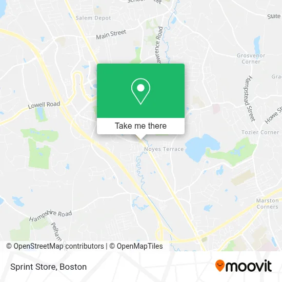
See Sprint Store, Boston, on the map
Public Transit to Sprint Store in Boston
Wondering how to get to Sprint Store in Boston? Moovit helps you find the best way to get to Sprint Store with step-by-step directions from the nearest public transit station.
Moovit provides free maps and live directions to help you navigate through your city. View schedules, routes, timetables, and find out how long does it take to get to Sprint Store in real time.
Looking for the nearest stop or station to Sprint Store? Check out this list of stops closest to your destination: Target.
Bus: 10, 28.
Want to see if there’s another route that gets you there at an earlier time? Moovit helps you find alternative routes or times. Get directions from and directions to Sprint Store easily from the Moovit App or Website.
We make riding to Sprint Store easy, which is why over 1.7 million users, including users in Boston, trust Moovit as the best app for public transit. You don’t need to download an individual bus app or train app, Moovit is your all-in-one transit app that helps you find the best bus time or train time available.
For information on prices of bus and train, costs and ride fares to Sprint Store, please check the Moovit app.
Use the app to navigate to popular places including to the airport, hospital, stadium, grocery store, mall, coffee shop, school, college, and university.
Sprint Store Address: 315 S Broadway street in Boston
- Tbone's,
- Ashley Furniture Homestore,
- Chili's,
- Party City,
- Dsw,
- Village Shoppes of Salem,
- Five Guys Burgers and Fries,
- Precious Nails Salon & Spa,
- New Hampshire Tool & Supply,
- Mattress Firm,
- Salem Vacuums,
- Five Below,
- Five Guys,
- Best Buy,
- Michaels,
- Salon 99,
- Market Basket,
- Mattress Firm,
- Baldoria,
- Starbucks
Places Near Sprint Store (Boston)
- Boston Convention & Exhibition Center, Boston,
- Boston Children's Hospital, Boston,
- Boston Medical Center, Boston,
- Isabella Stewart Gardner Museum, Boston,
- Mgm Music Hall, Boston,
- Massachusetts General Hospital, Boston,
- Castle Island, Boston,
- Wang Theater, Boston,
- Prudential Center, Boston,
- Cheers, Boston,
- Seaport District, Boston,
- North End, Boston,
- House Of Blues, Boston,
- Leader Bank Pavilion (Leader Bank Pavillion), Boston,
- Quincy Market, Boston,
- Wilbur Theatre, Boston,
- Faneuil Hall, Boston,
- Museum Of Science, Boston,
- Boston Common, Boston,
- Td Garden, Boston
How to get to popular places in Boston with public transit
Get around Boston by public transit!
Traveling around Boston has never been so easy. See step by step directions as you travel to any attraction, street or major public transit station. View bus and train schedules, arrival times, service alerts and detailed routes on a map, so you know exactly how to get to anywhere in Boston.
When traveling to any destination around Boston use Moovit's Live Directions with Get Off Notifications to know exactly where and how far to walk, how long to wait for your line, and how many stops are left. Moovit will alert you when it's time to get off — no need to constantly re-check whether yours is the next stop.
Wondering how to use public transit in Boston or how to pay for public transit in Boston? Moovit public transit app can help you navigate your way with public transit easily, and at minimum cost. It includes public transit fees, ticket prices, and costs. Looking for a map of Boston public transit lines? Moovit public transit app shows all public transit maps in Boston with all Bus, Train, Subway and Ferry routes and stops on an interactive map.
Boston has 4 transit type(s), including: Bus, Train, Subway and Ferry, operated by several transit agencies, including MBTA, Southeastern Regional Transit Authority, MetroWest Regional Transit Authority, Rhode Island Public Transit Authority, WRTA, Lowell Regional Transit Authority, Merrimack Valley Transit, Montachusett Regional Transit Authority, Cape Cod Regional Transit Authority, Brockton Area Transit Authority, Martha's Vineyard Transit Authority, the WAVE - Nantucket Regional Transit Authority, GATRA, Cape Ann Transportation Authority and Massport