Directions to St Joseph's Elementary School - MA (Wakefield) with public transportation
The following transit lines have routes that pass near St Joseph's Elementary School - MA
How to get to St Joseph's Elementary School - MA by bus?
Click on the bus route to see step by step directions with maps, line arrival times and updated time schedules.
From Crowne Plaza Boston - Woburn, Woburn
118 minFrom Medford, MA, Medford
77 minFrom Hyatt Place Medford, Medford
68 minFrom Kowloon Restaurant, Saugus
77 minFrom GE Aviation, Lynn
121 minFrom Wegmans, Medford
109 minFrom Woburn, MA, Woburn
94 minFrom Everett, MA, Everett
78 minFrom Middlesex Superior Court, Woburn
118 min
How to get to St Joseph's Elementary School - MA by train?
Click on the train route to see step by step directions with maps, line arrival times and updated time schedules.
Bus stops near St Joseph's Elementary School - MA in Wakefield
Bus lines to St Joseph's Elementary School - MA in Wakefield
- HAVERHILL LINE SHUTTLE, Ballardvale - Malden Center,VIEW
- HAVERHILL LINE SHUTTLE, Reading - Oak Grove,VIEW
- HAVERHILL LINE SHUTTLE, Haverhill - Malden Center,VIEW
- HAVERHILL LINE SHUTTLE, Haverhill - North Station,VIEW
- HAVERHILL LINE SHUTTLE, Ballardvale - North Station,VIEW
- HAVERHILL, Haverhill,VIEW
- 137, Malden,VIEW
What are the closest stations to St Joseph's Elementary School - MA?
The closest stations to St Joseph's Elementary School - MA are:
- Wakefield is 358 yards away, 5 min walk.
- North Ave @ Chestnut St - Commuter Rail Station is 358 yards away, 5 min walk.
Which bus line stops near St Joseph's Elementary School - MA?
137 (Reading Depot)
Which train line stops near St Joseph's Elementary School - MA?
HAVERHILL (#229 | Haverhill)
What’s the nearest bus station to St Joseph's Elementary School - MA in Wakefield?
The nearest bus stations to St Joseph's Elementary School - MA in Wakefield are Wakefield and North Ave @ Chestnut St - Commuter Rail Station. The closest one is a 5 min walk away.
What time is the first train to St Joseph's Elementary School - MA in Wakefield?
The HAVERHILL is the first train that goes to St Joseph's Elementary School - MA in Wakefield. It stops nearby at 5:18 AM.
What time is the last train to St Joseph's Elementary School - MA in Wakefield?
The HAVERHILL is the last train that goes to St Joseph's Elementary School - MA in Wakefield. It stops nearby at 12:13 AM.
What time is the first bus to St Joseph's Elementary School - MA in Wakefield?
The 137 is the first bus that goes to St Joseph's Elementary School - MA in Wakefield. It stops nearby at 5:09 AM.
What time is the last bus to St Joseph's Elementary School - MA in Wakefield?
The 137 is the last bus that goes to St Joseph's Elementary School - MA in Wakefield. It stops nearby at 10:46 PM.
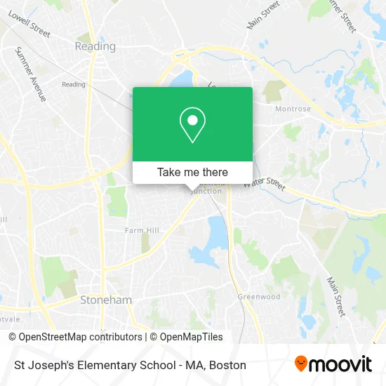
See St Joseph's Elementary School - MA, Wakefield, on the map
Public Transit to St Joseph's Elementary School - MA in Wakefield
Wondering how to get to St Joseph's Elementary School - MA in Wakefield? Moovit helps you find the best way to get to St Joseph's Elementary School - MA with step-by-step directions from the nearest public transit station.
Moovit provides free maps and live directions to help you navigate through your city. View schedules, routes, timetables, and find out how long does it take to get to St Joseph's Elementary School - MA in real time.
Looking for the nearest stop or station to St Joseph's Elementary School - MA? Check out this list of stops closest to your destination: Wakefield; North Ave @ Chestnut St - Commuter Rail Station.
Bus: 137, HAVERHILL LINE SHUTTLE, HAVERHILL LINE SHUTTLE, HAVERHILL LINE SHUTTLE, HAVERHILL LINE SHUTTLE, HAVERHILL LINE SHUTTLE.Train: HAVERHILL.
Want to see if there’s another route that gets you there at an earlier time? Moovit helps you find alternative routes or times. Get directions from and directions to St Joseph's Elementary School - MA easily from the Moovit App or Website.
We make riding to St Joseph's Elementary School - MA easy, which is why over 1.7 million users, including users in Wakefield, trust Moovit as the best app for public transit. You don’t need to download an individual bus app or train app, Moovit is your all-in-one transit app that helps you find the best bus time or train time available.
For information on prices of bus, train and subway, costs and ride fares to St Joseph's Elementary School - MA, please check the Moovit app.
Use the app to navigate to popular places including to the airport, hospital, stadium, grocery store, mall, coffee shop, school, college, and university.
St Joseph's Elementary School - MA Address: 15 Gould St street in Wakefield
- Wakefield Co-Operative Bank,
- Paint Nite,
- Laurie S,
- Guzzo Food Store,
- AM PM Locksmith Co,
- Wakefield Commuter Rail Station,
- MBTA Wakefield Station,
- New England Heritage Insurance Agency Group,
- Herbalife Independent Distributor (Kim Materese Benefits From Herbalife),
- David Thiboeau Carpentry,
- Hobby Bunker,
- Rest: Real Estate Services Team,
- Services Altero Constable,
- Milano Spa & Salon,
- K & H Enterprises of Wakefield,
- Brian X Murphy,
- Skin Fluent,
- Bcsi,
- Certified Auto Glass Replacement,
- Medicare Insurance Advisors Wakefield
Places Near St Joseph's Elementary School - MA (Wakefield)
- House Of Blues, Boston,
- Prudential Center, Boston,
- Boston Convention & Exhibition Center, Boston,
- Wang Theater, Boston,
- Seaport District, Boston,
- Td Garden, Boston,
- Leader Bank Pavilion (Leader Bank Pavillion), Boston,
- Museum Of Science, Boston,
- North End, Boston,
- Castle Island, Boston,
- Boston Medical Center, Boston,
- Boston Children's Hospital, Boston,
- Boston Common, Boston,
- Quincy Market, Boston,
- Massachusetts General Hospital, Boston,
- Faneuil Hall, Boston,
- Wilbur Theatre, Boston,
- Cheers, Boston,
- Isabella Stewart Gardner Museum, Boston,
- Mgm Music Hall, Boston
How to get to popular places in Boston with public transit
Get around Wakefield by public transit!
Traveling around Wakefield has never been so easy. See step by step directions as you travel to any attraction, street or major public transit station. View bus and train schedules, arrival times, service alerts and detailed routes on a map, so you know exactly how to get to anywhere in Wakefield.
When traveling to any destination around Wakefield use Moovit's Live Directions with Get Off Notifications to know exactly where and how far to walk, how long to wait for your line, and how many stops are left. Moovit will alert you when it's time to get off — no need to constantly re-check whether yours is the next stop.
Wondering how to use public transit in Wakefield or how to pay for public transit in Wakefield? Moovit public transit app can help you navigate your way with public transit easily, and at minimum cost. It includes public transit fees, ticket prices, and costs. Looking for a map of Wakefield public transit lines? Moovit public transit app shows all public transit maps in Wakefield with all Bus, Train, Subway and Ferry routes and stops on an interactive map.
Boston has 4 transit type(s), including: Bus, Train, Subway and Ferry, operated by several transit agencies, including MBTA, Southeastern Regional Transit Authority, MetroWest Regional Transit Authority, Rhode Island Public Transit Authority, WRTA, Lowell Regional Transit Authority, Merrimack Valley Transit, Montachusett Regional Transit Authority, Cape Cod Regional Transit Authority, Brockton Area Transit Authority, Martha's Vineyard Transit Authority, the WAVE - Nantucket Regional Transit Authority, GATRA, Cape Ann Transportation Authority and Massport