Directions to St. Matthew Church (Boston) with public transportation
The following transit lines have routes that pass near St. Matthew Church
 Bus: 20.
How to get to St. Matthew Church by bus?
Click on the bus route to see step by step directions with maps, line arrival times and updated time schedules.
Bus stop near St. Matthew Church in Boston
- Elmwood After Spooner, 2 min walk,VIEW
Bus lines to St. Matthew Church in Boston
- 20, Kennedy Plaza Via Elmwood Ave,VIEW
What are the closest stations to St. Matthew Church?
The closest stations to St. Matthew Church are:
- Elmwood After Spooner is 95 yards away, 2 min walk.
Which bus line stops near St. Matthew Church?
20 (Job Lot (Elmwood Ave - Cranston))
What’s the nearest bus station to St. Matthew Church in Boston?
The nearest bus station to St. Matthew Church in Boston is Elmwood After Spooner. It’s a 2 min walk away.
What time is the first bus to St. Matthew Church in Boston?
The 20 is the first bus that goes to St. Matthew Church in Boston. It stops nearby at 5:52 AM.
What time is the last bus to St. Matthew Church in Boston?
The 20 is the last bus that goes to St. Matthew Church in Boston. It stops nearby at 12:51 AM.
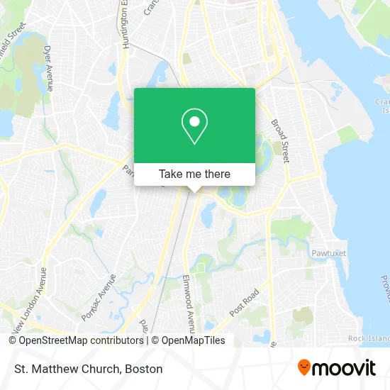
See St. Matthew Church, Boston, on the map
Public Transit to St. Matthew Church in Boston
Wondering how to get to St. Matthew Church in Boston? Moovit helps you find the best way to get to St. Matthew Church with step-by-step directions from the nearest public transit station.
Moovit provides free maps and live directions to help you navigate through your city. View schedules, routes, timetables, and find out how long does it take to get to St. Matthew Church in real time.
Looking for the nearest stop or station to St. Matthew Church? Check out this list of stops closest to your destination: Elmwood After Spooner.
Bus: 20.
Want to see if there’s another route that gets you there at an earlier time? Moovit helps you find alternative routes or times. Get directions from and directions to St. Matthew Church easily from the Moovit App or Website.
We make riding to St. Matthew Church easy, which is why over 1.7 million users, including users in Boston, trust Moovit as the best app for public transit. You don’t need to download an individual bus app or train app, Moovit is your all-in-one transit app that helps you find the best bus time or train time available.
For information on prices of bus and train, costs and ride fares to St. Matthew Church, please check the Moovit app.
Use the app to navigate to popular places including to the airport, hospital, stadium, grocery store, mall, coffee shop, school, college, and university.
St. Matthew Church Address: 15 Frances Ave street in Boston
- Hope Medical Group,
- Sporty Auto Repair,
- Triumph Generation Ministry,
- Symbol of Love Jewelry,
- John Hay Library,
- Seiu Local 580,
- Strong Cleaning,
- Marce's Barbershop,
- Ocean State Hobby,
- Rhode Island Intrgrted Mdicine,
- Water Management Service Div,
- Creative Environment Corp.,
- Stand Down Housing,
- Iglesia Cristiana Unida - Icu,
- Anyhow Studio,
- Interfaith Food Pantry,
- Am Design and Fabrication, LLC,
- City Appliances,
- USPS Collection Box - Blue Box,
- Academic Elite Football Academy
Places Near St. Matthew Church (Boston)
- Wilbur Theatre, Boston,
- Quincy Market, Boston,
- Museum Of Science, Boston,
- Mgm Music Hall, Boston,
- Wang Theater, Boston,
- Td Garden, Boston,
- North End, Boston,
- Boston Common, Boston,
- Massachusetts General Hospital, Boston,
- Isabella Stewart Gardner Museum, Boston,
- Boston Medical Center, Boston,
- House Of Blues, Boston,
- Faneuil Hall, Boston,
- Leader Bank Pavilion (Leader Bank Pavillion), Boston,
- Castle Island, Boston,
- Seaport District, Boston,
- Boston Children's Hospital, Boston,
- Boston Convention & Exhibition Center, Boston,
- Prudential Center, Boston,
- Cheers, Boston
How to get to popular places in Boston with public transit
Get around Boston by public transit!
Traveling around Boston has never been so easy. See step by step directions as you travel to any attraction, street or major public transit station. View bus and train schedules, arrival times, service alerts and detailed routes on a map, so you know exactly how to get to anywhere in Boston.
When traveling to any destination around Boston use Moovit's Live Directions with Get Off Notifications to know exactly where and how far to walk, how long to wait for your line, and how many stops are left. Moovit will alert you when it's time to get off — no need to constantly re-check whether yours is the next stop.
Wondering how to use public transit in Boston or how to pay for public transit in Boston? Moovit public transit app can help you navigate your way with public transit easily, and at minimum cost. It includes public transit fees, ticket prices, and costs. Looking for a map of Boston public transit lines? Moovit public transit app shows all public transit maps in Boston with all Bus, Train, Subway and Ferry routes and stops on an interactive map.
Boston has 4 transit type(s), including: Bus, Train, Subway and Ferry, operated by several transit agencies, including MBTA, Southeastern Regional Transit Authority, MetroWest Regional Transit Authority, Rhode Island Public Transit Authority, WRTA, Lowell Regional Transit Authority, Merrimack Valley Transit, Montachusett Regional Transit Authority, Cape Cod Regional Transit Authority, Brockton Area Transit Authority, Martha's Vineyard Transit Authority, the WAVE - Nantucket Regional Transit Authority, GATRA, Cape Ann Transportation Authority and Massport