How to get to St Patrick's Ccd Office by bus?
Click on the bus route to see step by step directions with maps, line arrival times and updated time schedules.
Bus stops near St Patrick's Ccd Office in Wareham Center
Train station near St Patrick's Ccd Office in Wareham Center
- Wareham Village, 63 min walk,VIEW
Bus lines to St Patrick's Ccd Office in Wareham Center
What are the closest stations to St Patrick's Ccd Office?
The closest stations to St Patrick's Ccd Office are:
- Wareham Center is 135 yards away, 2 min walk.
- Wareham Multi-Service Center is 1001 yards away, 12 min walk.
- Wareham is 1001 yards away, 12 min walk.
- Wareham Village is 5370 yards away, 63 min walk.
Which bus lines stop near St Patrick's Ccd Office?
These bus lines stop near St Patrick's Ccd Office: L1, WARE.
What’s the nearest bus station to St Patrick's Ccd Office in Wareham Center?
The nearest bus station to St Patrick's Ccd Office in Wareham Center is Wareham Center. It’s a 2 min walk away.
What time is the first bus to St Patrick's Ccd Office in Wareham Center?
The WP is the first bus that goes to St Patrick's Ccd Office in Wareham Center. It stops nearby at 7:41 AM.
What time is the last bus to St Patrick's Ccd Office in Wareham Center?
The L1 is the last bus that goes to St Patrick's Ccd Office in Wareham Center. It stops nearby at 6:42 PM.
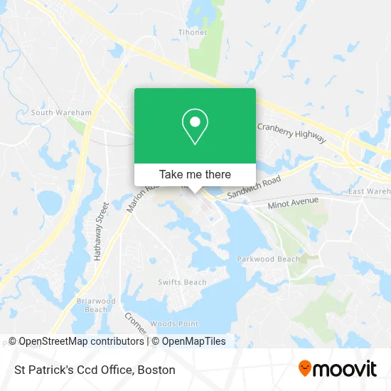
See St Patrick's Ccd Office, Wareham Center, on the map
Public Transit to St Patrick's Ccd Office in Wareham Center
Wondering how to get to St Patrick's Ccd Office in Wareham Center? Moovit helps you find the best way to get to St Patrick's Ccd Office with step-by-step directions from the nearest public transit station.
Moovit provides free maps and live directions to help you navigate through your city. View schedules, routes, timetables, and find out how long does it take to get to St Patrick's Ccd Office in real time.
Looking for the nearest stop or station to St Patrick's Ccd Office? Check out this list of stops closest to your destination: Wareham Center; Wareham Multi-Service Center; Wareham; Wareham Village.
Bus: L1, WARE, WP, WNB.Train: CAPEFLYER.
Want to see if there’s another route that gets you there at an earlier time? Moovit helps you find alternative routes or times. Get directions from and directions to St Patrick's Ccd Office easily from the Moovit App or Website.
We make riding to St Patrick's Ccd Office easy, which is why over 1.7 million users, including users in Wareham Center, trust Moovit as the best app for public transit. You don’t need to download an individual bus app or train app, Moovit is your all-in-one transit app that helps you find the best bus time or train time available.
For information on prices of bus and train, costs and ride fares to St Patrick's Ccd Office, please check the Moovit app.
Use the app to navigate to popular places including to the airport, hospital, stadium, grocery store, mall, coffee shop, school, college, and university.
St Patrick's Ccd Office Address: 86 High St street in Wareham Center
- Kendrick House,
- Law Offices of Jessica Clarke, PC,
- Main St Auto Locksmith Locksmith,
- Heating System Repair Hvac,
- Prudential Financial,
- US Cranberries,
- Mumma Marys Italian Cafe,
- KDK Transportation,
- Bbva Compass,
- Westgate Land Survey,
- PP*the Gear Place,
- Done Right Mobiledetailing,
- Htas Security,
- Next Level Wireless,
- South Coast Tenshin Aikido,
- Christine Lacava Homes-Jack Conway,
- Wareham,
- Cumberland Farms,
- Hess Express,
- Robs Cleaning Service
Places Near St Patrick's Ccd Office (Wareham Center)
- Td Garden, Boston,
- Mgm Music Hall, Boston,
- Seaport District, Boston,
- Isabella Stewart Gardner Museum, Boston,
- Boston Medical Center, Boston,
- Wilbur Theatre, Boston,
- Prudential Center, Boston,
- Cheers, Boston,
- Quincy Market, Boston,
- House Of Blues, Boston,
- Boston Children's Hospital, Boston,
- Boston Common, Boston,
- Boston Convention & Exhibition Center, Boston,
- Massachusetts General Hospital, Boston,
- Museum Of Science, Boston,
- Wang Theater, Boston,
- Leader Bank Pavilion (Leader Bank Pavillion), Boston,
- North End, Boston,
- Faneuil Hall, Boston,
- Castle Island, Boston
How to get to popular places in Boston with public transit
Get around Wareham Center by public transit!
Traveling around Wareham Center has never been so easy. See step by step directions as you travel to any attraction, street or major public transit station. View bus and train schedules, arrival times, service alerts and detailed routes on a map, so you know exactly how to get to anywhere in Wareham Center.
When traveling to any destination around Wareham Center use Moovit's Live Directions with Get Off Notifications to know exactly where and how far to walk, how long to wait for your line, and how many stops are left. Moovit will alert you when it's time to get off — no need to constantly re-check whether yours is the next stop.
Wondering how to use public transit in Wareham Center or how to pay for public transit in Wareham Center? Moovit public transit app can help you navigate your way with public transit easily, and at minimum cost. It includes public transit fees, ticket prices, and costs. Looking for a map of Wareham Center public transit lines? Moovit public transit app shows all public transit maps in Wareham Center with all Bus, Train, Subway and Ferry routes and stops on an interactive map.
Boston has 4 transit type(s), including: Bus, Train, Subway and Ferry, operated by several transit agencies, including MBTA, Southeastern Regional Transit Authority, MetroWest Regional Transit Authority, Rhode Island Public Transit Authority, WRTA, Lowell Regional Transit Authority, Merrimack Valley Transit, Montachusett Regional Transit Authority, Cape Cod Regional Transit Authority, Brockton Area Transit Authority, Martha's Vineyard Transit Authority, the WAVE - Nantucket Regional Transit Authority, GATRA, Cape Ann Transportation Authority and Massport