Directions to St Peters (Belmont) with public transportation
The following transit lines have routes that pass near St Peters
 Bus: 554, 73, FITCHBURG LINE SHUTTLE.
- Train: FITCHBURG, FRAMINGHAM/WORCESTER.
- Subway: RED LINE.
How to get to St Peters by bus?
Click on the bus route to see step by step directions with maps, line arrival times and updated time schedules.
From The 'Quin House, Boston
64 minFrom DCR Hatch Memorial Shell, Boston
68 minFrom Hilton Garden Inn, Brookline
68 minFrom Fogo De Chão, Boston
56 minFrom Charles/MGH T Stop, Boston
69 minFrom Beth Israel Deaconess Medical Center, Boston
78 minFrom Charles River, Boston
66 minFrom The Westin Copley Place, Boston, Boston
56 minFrom Encore Boston Harbor, Everett
73 minFrom The Esplanade (Charles River Esplanade), Boston
69 min
How to get to St Peters by train?
Click on the train route to see step by step directions with maps, line arrival times and updated time schedules.
Bus stops near St Peters in Belmont
Subway station near St Peters in Belmont
- Alewife, 21 min walk,VIEW
Bus lines to St Peters in Belmont
What are the closest stations to St Peters?
The closest stations to St Peters are:
- Trapelo Rd @ Beech St is 432 yards away, 6 min walk.
- Lexington St @ Belmont St is 557 yards away, 7 min walk.
- Waverley is 906 yards away, 11 min walk.
- Alewife is 1768 yards away, 21 min walk.
- Newtonville is 3336 yards away, 40 min walk.
Which bus lines stop near St Peters?
These bus lines stop near St Peters: 554, 73.
Which train line stops near St Peters?
FITCHBURG (#409 | Wachusett)
What’s the nearest subway station to St Peters in Belmont?
The nearest subway station to St Peters in Belmont is Alewife. It’s a 21 min walk away.
What’s the nearest train station to St Peters in Belmont?
The nearest train station to St Peters in Belmont is Waverley. It’s a 11 min walk away.
What’s the nearest bus station to St Peters in Belmont?
The nearest bus station to St Peters in Belmont is Trapelo Rd @ Beech St. It’s a 6 min walk away.
What time is the first subway to St Peters in Belmont?
The RED LINE is the first subway that goes to St Peters in Belmont. It stops nearby at 5:15 AM.
What time is the last subway to St Peters in Belmont?
The RED LINE is the last subway that goes to St Peters in Belmont. It stops nearby at 2:06 AM.
What time is the first train to St Peters in Belmont?
The FRAMINGHAM/WORCESTER is the first train that goes to St Peters in Belmont. It stops nearby at 5:25 AM.
What time is the last train to St Peters in Belmont?
The FRAMINGHAM/WORCESTER is the last train that goes to St Peters in Belmont. It stops nearby at 12:17 AM.
What time is the first bus to St Peters in Belmont?
The 73 is the first bus that goes to St Peters in Belmont. It stops nearby at 5:00 AM.
What time is the last bus to St Peters in Belmont?
The 73 is the last bus that goes to St Peters in Belmont. It stops nearby at 1:23 AM.
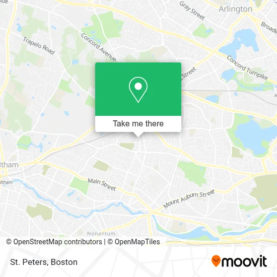
See St Peters, Belmont, on the map
Public Transit to St Peters in Belmont
Wondering how to get to St Peters in Belmont? Moovit helps you find the best way to get to St Peters with step-by-step directions from the nearest public transit station.
Moovit provides free maps and live directions to help you navigate through your city. View schedules, routes, timetables, and find out how long does it take to get to St Peters in real time.
Looking for the nearest stop or station to St Peters? Check out this list of stops closest to your destination: Trapelo Rd @ Beech St; Lexington St @ Belmont St; Waverley; Alewife; Newtonville.
Bus: 554, 73, FITCHBURG LINE SHUTTLE.Train: FITCHBURG, FRAMINGHAM/WORCESTER.Subway: RED LINE.
Want to see if there’s another route that gets you there at an earlier time? Moovit helps you find alternative routes or times. Get directions from and directions to St Peters easily from the Moovit App or Website.
We make riding to St Peters easy, which is why over 1.7 million users, including users in Belmont, trust Moovit as the best app for public transit. You don’t need to download an individual bus app or train app, Moovit is your all-in-one transit app that helps you find the best bus time or train time available.
For information on prices of bus, subway and train, costs and ride fares to St Peters, please check the Moovit app.
Use the app to navigate to popular places including to the airport, hospital, stadium, grocery store, mall, coffee shop, school, college, and university.
St Peters Address: 129 Lexington St street in Belmont
- Boston Ghanaian Sda Church,
- Superior Tax Service,
- Bushido Productions,
- Karen Estrella,
- Mount Hope Church,
- Schiavone Bros Salvage Co,
- Snug,
- Stem2stern Yacht Service,
- Dawnland Trading,
- DUNKIN',
- Commonwealth Tile,
- Handlin Garrahan & Associates,
- Church A1 Emergency Locksmith,
- Glossie Studio,
- Walker Beacon School,
- Garage Door Watertown,
- Sellasia Society of Bosto,
- Alexander Technique With Elaine Lin,
- MBTA Waverley Square,
- Lightwire
Places Near St Peters (Belmont)
- Isabella Stewart Gardner Museum, Boston,
- House Of Blues, Boston,
- Boston Common, Boston,
- Cheers, Boston,
- Leader Bank Pavilion (Leader Bank Pavillion), Boston,
- Wang Theater, Boston,
- Quincy Market, Boston,
- Boston Convention & Exhibition Center, Boston,
- Massachusetts General Hospital, Boston,
- Mgm Music Hall, Boston,
- Seaport District, Boston,
- Wilbur Theatre, Boston,
- Castle Island, Boston,
- Boston Medical Center, Boston,
- Prudential Center, Boston,
- North End, Boston,
- Museum Of Science, Boston,
- Boston Children's Hospital, Boston,
- Td Garden, Boston,
- Faneuil Hall, Boston
How to get to popular places in Boston with public transit
Get around Belmont by public transit!
Traveling around Belmont has never been so easy. See step by step directions as you travel to any attraction, street or major public transit station. View bus and train schedules, arrival times, service alerts and detailed routes on a map, so you know exactly how to get to anywhere in Belmont.
When traveling to any destination around Belmont use Moovit's Live Directions with Get Off Notifications to know exactly where and how far to walk, how long to wait for your line, and how many stops are left. Moovit will alert you when it's time to get off — no need to constantly re-check whether yours is the next stop.
Wondering how to use public transit in Belmont or how to pay for public transit in Belmont? Moovit public transit app can help you navigate your way with public transit easily, and at minimum cost. It includes public transit fees, ticket prices, and costs. Looking for a map of Belmont public transit lines? Moovit public transit app shows all public transit maps in Belmont with all Bus, Train, Subway and Ferry routes and stops on an interactive map.
Boston has 4 transit type(s), including: Bus, Train, Subway and Ferry, operated by several transit agencies, including MBTA, Southeastern Regional Transit Authority, MetroWest Regional Transit Authority, Rhode Island Public Transit Authority, WRTA, Lowell Regional Transit Authority, Merrimack Valley Transit, Montachusett Regional Transit Authority, Cape Cod Regional Transit Authority, Brockton Area Transit Authority, Martha's Vineyard Transit Authority, the WAVE - Nantucket Regional Transit Authority, GATRA, Cape Ann Transportation Authority and Massport