State & E. Wacker (North) stop - Tuesday schedule
| Line | Direction | Time |
|---|---|---|
| 29 | Navy Pier Terminal (North) | 5:10 AM |
| 29 | Navy Pier Terminal (North) | 5:28 AM |
| 29 | Navy Pier Terminal (North) | 5:43 AM |
| 29 | Navy Pier Terminal (North) | 5:59 AM |
| 146 | Berwyn & Broadway (East) | 6:03 AM |
| 29 | Navy Pier Terminal (North) | 6:14 AM |
| 146 | Berwyn & Broadway (East) | 6:25 AM |
| 29 | Navy Pier Terminal (North) | 6:31 AM |
| 2 | Navy Pier Terminal (Ne) | 6:32 AM |
| 29 | Navy Pier Terminal (North) | 6:46 AM |
| 146 | Berwyn & Broadway (East) | 6:47 AM |
| 2 | Navy Pier Terminal (Ne) | 6:47 AM |
| 146 | Berwyn & Broadway (East) | 7:00 AM |
| 2 | Navy Pier Terminal (Ne) | 7:02 AM |
| 29 | Navy Pier Terminal (North) | 7:04 AM |
| 146 | Berwyn & Broadway (East) | 7:14 AM |
| 29 | Navy Pier Terminal (North) | 7:15 AM |
| 2 | Navy Pier Terminal (Ne) | 7:17 AM |
| 29 | Navy Pier Terminal (North) | 7:27 AM |
| 146 | Berwyn & Broadway (East) | 7:28 AM |
| 2 | Navy Pier Terminal (Ne) | 7:31 AM |
| 29 | Navy Pier Terminal (North) | 7:41 AM |
| 146 | Berwyn & Broadway (East) | 7:42 AM |
| 2 | Navy Pier Terminal (Ne) | 7:44 AM |
| 29 | Navy Pier Terminal (North) | 7:53 AM |
Directions to State & E. Wacker (North) stop (Chicago) with public transit
The following transit lines have routes that pass near State & E. Wacker (North)
 Bus: 134, 136, 146, 147, 56.
- Train: BNSF, UP-N, UP-NW, ME, LAKESHORE.
- Chicago 'L': BLUE LINE, PINK LINE, RED LINE, BROWN LINE, GREEN LINE.
How to get to State & E. Wacker (North) stop by bus?
Click on the bus route to see step by step directions with maps, line arrival times and updated time schedules.
How to get to State & E. Wacker (North) stop by train?
Click on the train route to see step by step directions with maps, line arrival times and updated time schedules.
How to get to State & E. Wacker (North) stop by Chicago 'L'?
Click on the Chicago 'L' route to see step by step directions with maps, line arrival times and updated time schedules.
Bus stops near State & E. Wacker (North) stop in Chicago
- Dearborn & Wacker/Lake (North), 1 min walk,
- Wacker & State (West), 3 min walk,
- Dearborn & Randolph (North), 4 min walk,
- State & Lake (North), 4 min walk,
- Michigan & South Water (South), 4 min walk,
- Michigan & South Water (North), 4 min walk,
- Michigan Ave/Wacker Pl/South Water (Pick Up Only), 4 min walk,
Chicago 'L' stations near State & E. Wacker (North) station in Chicago
- Washington-Blue, 5 min walk,
- Lake (Red), 5 min walk,
- Clark/Lake, 6 min walk,
Train stations near State & E. Wacker (North) station in Chicago
- Millennium Station, 7 min walk,
Bus lines to State & E. Wacker (North) stop in Chicago
- 22, Paulina & Howard Terminal,
- 36, Devon & Clark (West),
- 62, Pulaski Orange Line Station (East),
- 2, Hyde Park Express,
- 6, Jackson Park Express,
- 10, Obama Presidential Center/Museum of Science & Industry Express,
- 29, State,
- 134, Stockton/LaSalle Express,
- 135, Clarendon/LaSalle Express,
- 136, Sheridan/LaSalle Express,
- 146, Inner Lake Shore/Michigan Express,
- 24, Dearborn & Randolph (North),
- 148, Marine Drive & Winona (North),
- 3, King Drive,
- 4, Cottage Grove,
- X4, Cottage Grove Express,
- 26, South Shore Express,
- 66, Chicago,
- 143, Stockton/Michigan Express,
- 147, Outer DuSable Lake Shore Express,
What are the closest stations to State & E. Wacker (North)?
The closest stations to State & E. Wacker (North) are:
- Dearborn & Wacker/Lake (North) stop is 61 yards away, 1 min walk.
- Wacker & State (West) stop is 205 yards away, 3 min walk.
- Dearborn & Randolph (North) stop is 250 yards away, 4 min walk.
- State & Lake (North) stop is 271 yards away, 4 min walk.
- Michigan & South Water (South) stop is 305 yards away, 4 min walk.
- Michigan & South Water (North) stop is 313 yards away, 4 min walk.
- Michigan Ave/Wacker Pl/South Water (Pick Up Only) stop is 317 yards away, 4 min walk.
- Washington-Blue station is 352 yards away, 5 min walk.
- Lake (Red) station is 386 yards away, 5 min walk.
- Clark/Lake station is 444 yards away, 6 min walk.
- Millennium Station is 591 yards away, 7 min walk.
Which bus lines stop near State & E. Wacker (North)?
These bus lines stop near State & E. Wacker (North): 134, 136, 146, 147, 56, 62.
Which train lines stop near State & E. Wacker (North)?
These train lines stop near State & E. Wacker (North): BNSF, UP-N, UP-NW.
Which Chicago 'L' lines stop near State & E. Wacker (North)?
These Chicago 'L' lines stop near State & E. Wacker (North): BLUE LINE, PINK LINE, RED LINE.
What’s the nearest Chicago 'L' station to State & E. Wacker (North) in Chicago?
The nearest Chicago 'L' stations to State & E. Wacker (North) in Chicago are Washington-Blue and Lake (Red). The closest one is a 5 min walk away.
What’s the nearest train station to State & E. Wacker (North) in Chicago?
The nearest train station to State & E. Wacker (North) in Chicago is Millennium Station. It’s a 7 min walk away.
What’s the nearest bus station to State & E. Wacker (North) in Chicago?
The nearest bus station to State & E. Wacker (North) in Chicago is Dearborn & Wacker/Lake (North). It’s a 1 min walk away.
What time is the first Chicago 'L' to State & E. Wacker (North) in Chicago?
The RED LINE is the first Chicago 'L' that goes to State & E. Wacker (North) in Chicago. It stops nearby at 3:03 AM.
What time is the last Chicago 'L' to State & E. Wacker (North) in Chicago?
The BLUE LINE is the last Chicago 'L' that goes to State & E. Wacker (North) in Chicago. It stops nearby at 3:30 AM.
What time is the first train to State & E. Wacker (North) in Chicago?
The ME is the first train that goes to State & E. Wacker (North) in Chicago. It stops nearby at 4:50 AM.
What time is the last train to State & E. Wacker (North) in Chicago?
The ME is the last train that goes to State & E. Wacker (North) in Chicago. It stops nearby at 12:58 AM.
What time is the first bus to State & E. Wacker (North) in Chicago?
The 4 is the first bus that goes to State & E. Wacker (North) in Chicago. It stops nearby at 3:00 AM.
What time is the last bus to State & E. Wacker (North) in Chicago?
The 4 is the last bus that goes to State & E. Wacker (North) in Chicago. It stops nearby at 3:30 AM.
State & E. Wacker (North) station
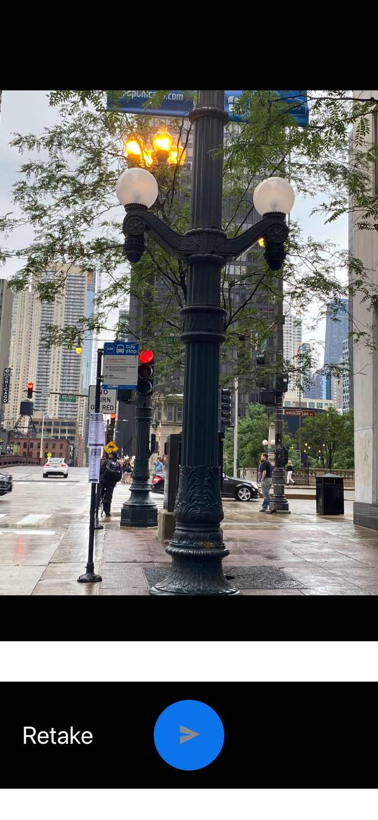 Taken by Anonymous
See State & E. Wacker (North) stop, Chicago, on the map
Public transit to State & E. Wacker (North) stop (ID: 1439) in Chicago
Looking for directions to State & E. Wacker (North) in Chicago, United States?
Download the Moovit App to find the current schedule and step-by-step directions for Chicago 'L', Bus or Train routes that pass through State & E. Wacker (North).
Looking for the nearest stops closest to State & E. Wacker (North) ? Check out this list of closest stops to your destination: Dearborn & Wacker/Lake (North); Wacker & State (West); Dearborn & Randolph (North); State & Lake (North); Michigan & South Water (South); Michigan & South Water (North); Michigan Ave/Wacker Pl/South Water (Pick Up Only); Washington-Blue; Lake (Red); Clark/Lake; Millennium Station.
Bus: 134, 136, 146, 147, 56, 62, 22, 36, 2, 6, 10, 29.Train: BNSF, UP-N, UP-NW, ME, LAKESHORE, MONON.Chicago 'L': BLUE LINE, PINK LINE, RED LINE, BROWN LINE, GREEN LINE, ORANGE LINE, PURPLE LINE.
We make riding on public transit to State & E. Wacker (North) easy, which is why over 1.7 billion users, including users in Chicago trust Moovit as the best app for public transit.
Use the app to navigate to popular places including to the airport, hospital, stadium, grocery store, mall, coffee shop, school, college, and university.
State & E. Wacker (North) stop’s code is 1439
The first line to this stop is 29, at 5:10 AM, and the last line is 29 at 4:50 AM.
1 East Wacker Drive, Central, Chicago, IL, USA
This stop serves CTA’s lines
- Dearborn & Wacker/Lake (North),
- Wacker & State (West),
- Dearborn & Randolph (North),
- State & Lake (North),
- Michigan & South Water (South),
- Michigan & South Water (North),
- Michigan Ave/Wacker Pl/South Water (Pick Up Only)
Bus stops near State & E. Wacker (North) stop
- Washington-Blue,
- Lake (Red),
- Clark/Lake
Chicago 'L' stations near State & E. Wacker (North) station
- Millennium Station
Train station near State & E. Wacker (North) station
- Pulaski & 75th Place (South),
- Park Ridge,
- 47th Street & Racine (West),
- Halsted & 75th Street (South),
- California & 23rd Street (South),
- Addison Blue Line Station (East),
- Ridgeland Ave & Madison St,
- 55th Street & Central (East),
- Michigan & Ohio,
- Northwest Hwy & Raven (Nw),
- Golf Rd & Roselle Rd,
- Michigan & 16th Street (South),
- 8400 S Holland (South),
- Central & Harrison Terminal (North),
- 111th St & Cicero Ave,
- Harlem Ave & Armitage Ave,
- 159th St & Cicero Ave (Metra Station),
- Cottage Grove & 61st Street (South),
- St. Alexius Medical Center (1555 N Barrington Rd)
Popular public transit stations in Chicago
Get around Chicago by public transit!
Traveling around Chicago has never been so easy. See step by step directions as you travel to any attraction, street or major public transit station. View bus and train schedules, arrival times, service alerts and detailed routes on a map, so you know exactly how to get to anywhere in Chicago.
When traveling to any destination around Chicago use Moovit's Live Directions with Get Off Notifications to know exactly where and how far to walk, how long to wait for your line, and how many stops are left. Moovit will alert you when it's time to get off — no need to constantly re-check whether yours is the next stop.
Wondering how to use public transit in Chicago or how to pay for public transit in Chicago? Moovit public transit app can help you navigate your way with public transit easily, and at minimum cost. It includes public transit fees, ticket prices, and costs. Looking for a map of Chicago public transit lines? Moovit public transit app shows all public transit maps in Chicago with all Bus, Train and Chicago 'L' routes and stops on an interactive map.
Chicago has 3 transit type(s), including: Bus, Train and Chicago 'L', operated by several transit agencies, including CTA 'L', Metra, Northern Indiana Commuter Transportation District, CTA, PACE, O'Hare International Airport Shuttle Bus, Gary Public Transit, Amtrak, River Valley Metro, Valpo Transit, DeKalb Public Transit, FlixBus-us, Greyhound-us, Van Galder (Coach USA) and Wisconsin Coach Lines