State & Lake (North) stop - Wednesday schedule
| Line | Direction | Time |
|---|---|---|
| 29 | Navy Pier Terminal (North) | 5:10 AM |
| 29 | Navy Pier Terminal (North) | 5:28 AM |
| 29 | Navy Pier Terminal (North) | 5:43 AM |
| 29 | Navy Pier Terminal (North) | 5:59 AM |
| 146 | Berwyn & Broadway (East) | 6:02 AM |
| 29 | Navy Pier Terminal (North) | 6:14 AM |
| 146 | Berwyn & Broadway (East) | 6:25 AM |
| 29 | Navy Pier Terminal (North) | 6:31 AM |
| 2 | Navy Pier Terminal (Ne) | 6:32 AM |
| 29 | Navy Pier Terminal (North) | 6:46 AM |
| 146 | Berwyn & Broadway (East) | 6:46 AM |
| 2 | Navy Pier Terminal (Ne) | 6:47 AM |
| 146 | Berwyn & Broadway (East) | 6:59 AM |
| 2 | Navy Pier Terminal (Ne) | 7:02 AM |
| 29 | Navy Pier Terminal (North) | 7:04 AM |
| 146 | Berwyn & Broadway (East) | 7:13 AM |
| 29 | Navy Pier Terminal (North) | 7:15 AM |
| 2 | Navy Pier Terminal (Ne) | 7:16 AM |
| 146 | Berwyn & Broadway (East) | 7:27 AM |
| 29 | Navy Pier Terminal (North) | 7:27 AM |
| 2 | Navy Pier Terminal (Ne) | 7:30 AM |
| 29 | Navy Pier Terminal (North) | 7:41 AM |
| 146 | Berwyn & Broadway (East) | 7:41 AM |
| 2 | Navy Pier Terminal (Ne) | 7:43 AM |
| 29 | Navy Pier Terminal (North) | 7:53 AM |
Directions to State & Lake (North) stop (Chicago) with public transit
The following transit lines have routes that pass near State & Lake (North)
 Bus: 136, 146, 2, 24, 56.
- Train: BNSF, RI, UP-N, ME, LAKESHORE.
- Chicago 'L': BLUE LINE, GREEN LINE, PINK LINE, RED LINE, BROWN LINE.
How to get to State & Lake (North) stop by bus?
Click on the bus route to see step by step directions with maps, line arrival times and updated time schedules.
How to get to State & Lake (North) stop by train?
Click on the train route to see step by step directions with maps, line arrival times and updated time schedules.
How to get to State & Lake (North) stop by Chicago 'L'?
Click on the Chicago 'L' route to see step by step directions with maps, line arrival times and updated time schedules.
Bus stops near State & Lake (North) stop in Chicago
- State & E. Wacker (North), 2 min walk,
- Wacker (Upper) & State (East), 2 min walk,
- Wacker & State (West), 3 min walk,
- Dearborn & Randolph (North), 3 min walk,
- State & Washington (North), 4 min walk,
- Washington & State (East), 4 min walk,
- Michigan & Lake/Randolph (South), 5 min walk,
- Michigan Ave & Randolph St (Pick Up Only), 5 min walk,
- Michigan & Randolph at Chase Bank (Chicago), 5 min walk,
Chicago 'L' stations near State & Lake (North) station in Chicago
- Washington-Blue, 4 min walk,
- Lake (Red), 4 min walk,
- Washington/Wabash, 8 min walk,
Train stations near State & Lake (North) station in Chicago
- Millennium Station, 6 min walk,
Bus lines to State & Lake (North) stop in Chicago
- 2, Midway Plaisance & Cottage Grove (East),
- 10, Stony Island & 62nd Street (South),
- 29, Navy Pier Terminal (North),
- 146, State & Harrison/Ida B Wells Drive (South),
- 148, Marine Drive & Winona (North),
- 134, Stockton/LaSalle Express,
- 135, Clarendon/LaSalle Express,
- 136, Sheridan/LaSalle Express,
- 6, 79th Street & Lake Shore Drive (West),
- 36, Devon & Clark (West),
- 62, Pulaski Orange Line Station (East),
- 22, Paulina & Howard Terminal,
- 24, Dearborn & Randolph (North),
- 4, Cottage Grove,
- 66, Chicago,
- J14, 103rd Street & Stony Island Garage Terminal (Se),
- 20, Columbus & Randolph (South),
- 56, Washington & Wabash (East),
- 60, 54th/Cermak Pink Line Station (West),
- 124, Navy Pier Terminal (North),
What are the closest stations to State & Lake (North)?
The closest stations to State & Lake (North) are:
- State & E. Wacker (North) stop is 132 yards away, 2 min walk.
- Wacker (Upper) & State (East) stop is 151 yards away, 2 min walk.
- Wacker & State (West) stop is 182 yards away, 3 min walk.
- Dearborn & Randolph (North) stop is 223 yards away, 3 min walk.
- Washington-Blue station is 269 yards away, 4 min walk.
- State & Washington (North) stop is 307 yards away, 4 min walk.
- Washington & State (East) stop is 311 yards away, 4 min walk.
- Lake (Red) station is 314 yards away, 4 min walk.
- Michigan & Lake/Randolph (South) stop is 359 yards away, 5 min walk.
- Michigan Ave & Randolph St (Pick Up Only) stop is 365 yards away, 5 min walk.
- Michigan & Randolph at Chase Bank (Chicago) stop is 372 yards away, 5 min walk.
- Millennium Station is 462 yards away, 6 min walk.
- Washington/Wabash station is 616 yards away, 8 min walk.
Which bus lines stop near State & Lake (North)?
These bus lines stop near State & Lake (North): 136, 146, 2, 24, 56, 62.
Which train lines stop near State & Lake (North)?
These train lines stop near State & Lake (North): BNSF, RI, UP-N.
Which Chicago 'L' lines stop near State & Lake (North)?
These Chicago 'L' lines stop near State & Lake (North): BLUE LINE, GREEN LINE, PINK LINE, RED LINE.
What’s the nearest Chicago 'L' station to State & Lake (North) in Chicago?
The nearest Chicago 'L' stations to State & Lake (North) in Chicago are Washington-Blue and Lake (Red). The closest one is a 4 min walk away.
What’s the nearest train station to State & Lake (North) in Chicago?
The nearest train station to State & Lake (North) in Chicago is Millennium Station. It’s a 6 min walk away.
What’s the nearest bus station to State & Lake (North) in Chicago?
The nearest bus stations to State & Lake (North) in Chicago are State & E. Wacker (North) and Wacker (Upper) & State (East). The closest one is a 2 min walk away.
What time is the first Chicago 'L' to State & Lake (North) in Chicago?
The RED LINE is the first Chicago 'L' that goes to State & Lake (North) in Chicago. It stops nearby at 3:03 AM.
What time is the last Chicago 'L' to State & Lake (North) in Chicago?
The BLUE LINE is the last Chicago 'L' that goes to State & Lake (North) in Chicago. It stops nearby at 3:30 AM.
What time is the first train to State & Lake (North) in Chicago?
The ME is the first train that goes to State & Lake (North) in Chicago. It stops nearby at 4:50 AM.
What time is the last train to State & Lake (North) in Chicago?
The ME is the last train that goes to State & Lake (North) in Chicago. It stops nearby at 12:58 AM.
What time is the first bus to State & Lake (North) in Chicago?
The 4 is the first bus that goes to State & Lake (North) in Chicago. It stops nearby at 3:01 AM.
What time is the last bus to State & Lake (North) in Chicago?
The 60 is the last bus that goes to State & Lake (North) in Chicago. It stops nearby at 3:36 AM.
State & Lake (North) station
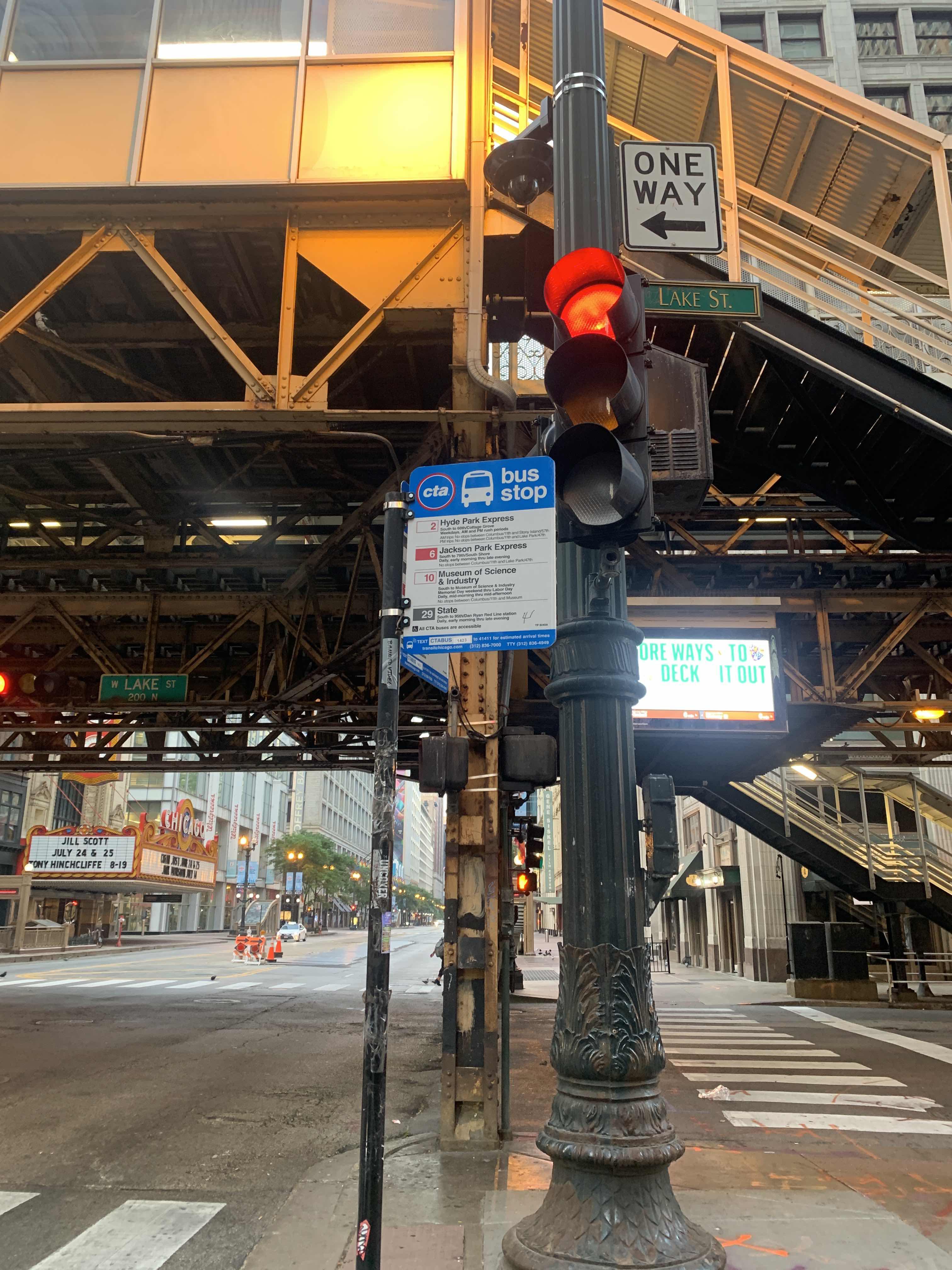 Taken by Anonymous
See State & Lake (North) stop, Chicago, on the map
Public transit to State & Lake (North) stop (ID: 1438) in Chicago
Looking for directions to State & Lake (North) in Chicago, United States?
Download the Moovit App to find the current schedule and step-by-step directions for Chicago 'L', Bus or Train routes that pass through State & Lake (North).
Looking for the nearest stops closest to State & Lake (North) ? Check out this list of closest stops to your destination: State & E. Wacker (North); Wacker (Upper) & State (East); Wacker & State (West); Dearborn & Randolph (North); Washington-Blue; State & Washington (North); Washington & State (East); Lake (Red); Michigan & Lake/Randolph (South); Michigan Ave & Randolph St (Pick Up Only); Michigan & Randolph at Chase Bank (Chicago); Millennium Station; Washington/Wabash.
Bus: 136, 146, 2, 24, 56, 62, 10, 29, 148, 134, 135.Train: BNSF, RI, UP-N, ME, LAKESHORE, MONON.Chicago 'L': BLUE LINE, GREEN LINE, PINK LINE, RED LINE, BROWN LINE, ORANGE LINE, PURPLE LINE.
We make riding on public transit to State & Lake (North) easy, which is why over 1.7 billion users, including users in Chicago trust Moovit as the best app for public transit.
Use the app to navigate to popular places including to the airport, hospital, stadium, grocery store, mall, coffee shop, school, college, and university.
State & Lake (North) stop’s code is 1438
The first line to this stop is 29, at 5:10 AM, and the last line is 29 at 4:50 AM.
North State Street, Central, Chicago, IL, USA
This stop serves CTA’s lines
Popular routes from State & Lake (North) stop, Chicago
- State & E. Wacker (North),
- Wacker (Upper) & State (East),
- Wacker & State (West),
- Dearborn & Randolph (North),
- State & Washington (North),
- Washington & State (East),
- Michigan & Lake/Randolph (South),
- Michigan Ave & Randolph St (Pick Up Only),
- Michigan & Randolph at Chase Bank (Chicago)
Bus stops near State & Lake (North) stop
- Washington-Blue,
- Lake (Red),
- Washington/Wabash
Chicago 'L' stations near State & Lake (North) station
- Millennium Station
Train station near State & Lake (North) station
- 147th St & Crawford Ave/Pulaski Rd,
- Morton Ct & Willow Ct,
- York/Grand (Sw),
- Calumet Metra Station,
- Clark/Lake,
- 135th St & Cicero Ave,
- Elgin,
- Pulaski & Cermak (North),
- Montrose & Damen (West),
- 63rd/Narragansett,
- Lasalle & Randolph/Washington (South),
- 55th Street & Spaulding (West),
- Sheridan Rd & Martin Luther King Jr Dr,
- Rosemont Cta Station,
- Dearborn & Madison (North),
- Fullerton & Racine (West),
- Fox River Grove,
- Braeside,
- 159th St & Halsted St,
- Cicero & Roosevelt (North)
Popular public transit stations in Chicago
Get around Chicago by public transit!
Traveling around Chicago has never been so easy. See step by step directions as you travel to any attraction, street or major public transit station. View bus and train schedules, arrival times, service alerts and detailed routes on a map, so you know exactly how to get to anywhere in Chicago.
When traveling to any destination around Chicago use Moovit's Live Directions with Get Off Notifications to know exactly where and how far to walk, how long to wait for your line, and how many stops are left. Moovit will alert you when it's time to get off — no need to constantly re-check whether yours is the next stop.
Wondering how to use public transit in Chicago or how to pay for public transit in Chicago? Moovit public transit app can help you navigate your way with public transit easily, and at minimum cost. It includes public transit fees, ticket prices, and costs. Looking for a map of Chicago public transit lines? Moovit public transit app shows all public transit maps in Chicago with all Bus, Train and Chicago 'L' routes and stops on an interactive map.
Chicago has 3 transit type(s), including: Bus, Train and Chicago 'L', operated by several transit agencies, including CTA 'L', Metra, Northern Indiana Commuter Transportation District, CTA, PACE, O'Hare International Airport Shuttle Bus, Gary Public Transit, Amtrak, River Valley Metro, Valpo Transit, DeKalb Public Transit, FlixBus-us, Greyhound-us, Van Galder (Coach USA) and Wisconsin Coach Lines