How to get to Stephanie Burke by bus?
Click on the bus route to see step by step directions with maps, line arrival times and updated time schedules.
From Amazon Fulfillment Bos7, Fall River
129 minFrom B.M.C. Durfee High School, Fall River
98 minFrom Lizzy Borden House, Fall River
77 minFrom RMV New Bedford, New Bedford
121 minFrom Charlton Memorial Hospital, Fall River
117 minFrom Bedford Industrial Park, New Bedford
123 minFrom Walmart Fall River Supercenter, Fall River
112 minFrom Mass Maritime Academy, Buzzards Bay
88 minFrom Falmouth MA USA, Falmouth
116 min
Bus stops near Stephanie Burke in Mattapoisett Center
What are the closest stations to Stephanie Burke?
The closest stations to Stephanie Burke are:
- Route 6 & North St is 104 yards away, 2 min walk.
- Mattapoisett is 104 yards away, 2 min walk.
Which bus line stops near Stephanie Burke?
WARE (Wareham)
What’s the nearest bus station to Stephanie Burke in Mattapoisett Center?
The nearest bus stations to Stephanie Burke in Mattapoisett Center are Route 6 & North St and Mattapoisett. The closest one is a 2 min walk away.
What time is the first bus to Stephanie Burke in Mattapoisett Center?
The WARE is the first bus that goes to Stephanie Burke in Mattapoisett Center. It stops nearby at 7:54 AM.
What time is the last bus to Stephanie Burke in Mattapoisett Center?
The WNB is the last bus that goes to Stephanie Burke in Mattapoisett Center. It stops nearby at 5:30 PM.
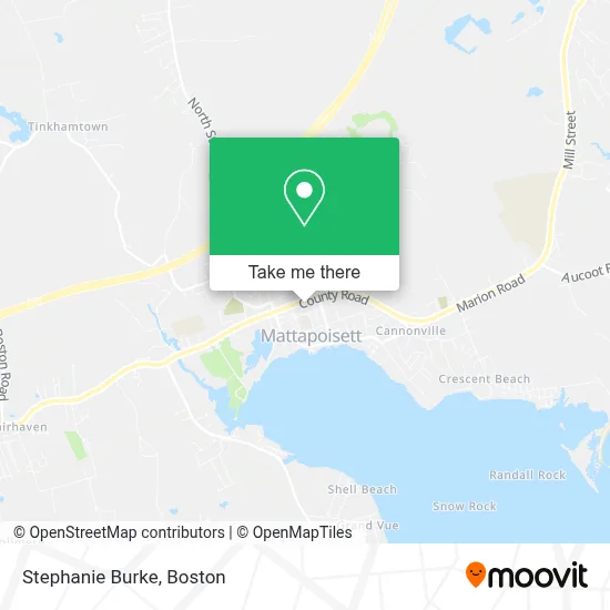
See Stephanie Burke, Mattapoisett Center, on the map
Public Transit to Stephanie Burke in Mattapoisett Center
Wondering how to get to Stephanie Burke in Mattapoisett Center? Moovit helps you find the best way to get to Stephanie Burke with step-by-step directions from the nearest public transit station.
Moovit provides free maps and live directions to help you navigate through your city. View schedules, routes, timetables, and find out how long does it take to get to Stephanie Burke in real time.
Looking for the nearest stop or station to Stephanie Burke? Check out this list of stops closest to your destination: Route 6 & North St; Mattapoisett.
Bus: WARE, WNB.
Want to see if there’s another route that gets you there at an earlier time? Moovit helps you find alternative routes or times. Get directions from and directions to Stephanie Burke easily from the Moovit App or Website.
We make riding to Stephanie Burke easy, which is why over 1.7 million users, including users in Mattapoisett Center, trust Moovit as the best app for public transit. You don’t need to download an individual bus app or train app, Moovit is your all-in-one transit app that helps you find the best bus time or train time available.
For information on prices of bus, costs and ride fares to Stephanie Burke, please check the Moovit app.
Use the app to navigate to popular places including to the airport, hospital, stadium, grocery store, mall, coffee shop, school, college, and university.
Stephanie Burke Address: 34 Barstow St street in Mattapoisett Center
- BKC Consulting Services,
- South Coast Cycling,
- Acupuncture Associates of Eastern Ma,
- Vinyl Stage Music,
- Yoga Studio Mattapoisett,
- What the Taco,
- Jack's Kitchen,
- Sippican Week,
- 30 County Rd Parking,
- Peaceful Soul Massage,
- Colburn Group Insurance,
- Prism Salon,
- Keepers Kloset,
- Muldoon, Borges & Beauregard - Ameriprise Financial Services,
- Black Ops Auto Works,
- Stowaway,
- South Shore Restorations,
- Desroches Alan General Contractor,
- Mattapoisett Roofing Plus Roofing,
- Nardi Electric
Places Near Stephanie Burke (Mattapoisett Center)
- Faneuil Hall, Boston,
- Boston Children's Hospital, Boston,
- Boston Common, Boston,
- Quincy Market, Boston,
- Boston Medical Center, Boston,
- Boston Convention & Exhibition Center, Boston,
- Wang Theater, Boston,
- House Of Blues, Boston,
- Museum Of Science, Boston,
- North End, Boston,
- Leader Bank Pavilion (Leader Bank Pavillion), Boston,
- Castle Island, Boston,
- Isabella Stewart Gardner Museum, Boston,
- Wilbur Theatre, Boston,
- Seaport District, Boston,
- Mgm Music Hall, Boston,
- Td Garden, Boston,
- Cheers, Boston,
- Prudential Center, Boston,
- Massachusetts General Hospital, Boston
How to get to popular places in Boston with public transit
Get around Mattapoisett Center by public transit!
Traveling around Mattapoisett Center has never been so easy. See step by step directions as you travel to any attraction, street or major public transit station. View bus and train schedules, arrival times, service alerts and detailed routes on a map, so you know exactly how to get to anywhere in Mattapoisett Center.
When traveling to any destination around Mattapoisett Center use Moovit's Live Directions with Get Off Notifications to know exactly where and how far to walk, how long to wait for your line, and how many stops are left. Moovit will alert you when it's time to get off — no need to constantly re-check whether yours is the next stop.
Wondering how to use public transit in Mattapoisett Center or how to pay for public transit in Mattapoisett Center? Moovit public transit app can help you navigate your way with public transit easily, and at minimum cost. It includes public transit fees, ticket prices, and costs. Looking for a map of Mattapoisett Center public transit lines? Moovit public transit app shows all public transit maps in Mattapoisett Center with all Bus, Train, Subway and Ferry routes and stops on an interactive map.
Boston has 4 transit type(s), including: Bus, Train, Subway and Ferry, operated by several transit agencies, including MBTA, Southeastern Regional Transit Authority, MetroWest Regional Transit Authority, Rhode Island Public Transit Authority, WRTA, Lowell Regional Transit Authority, Merrimack Valley Transit, Montachusett Regional Transit Authority, Cape Cod Regional Transit Authority, Brockton Area Transit Authority, Martha's Vineyard Transit Authority, the WAVE - Nantucket Regional Transit Authority, GATRA, Cape Ann Transportation Authority and Massport