Directions to Stephen M O'Grady Field (Salem) with public transportation
The following transit lines have routes that pass near Stephen M O'Grady Field
 Bus: 455.
- Train: NEWBURYPORT/ROCKPORT.
How to get to Stephen M O'Grady Field by bus?
Click on the bus route to see step by step directions with maps, line arrival times and updated time schedules.
From North Shore Mall, Peabody
75 minFrom Nahant Beach, Nahant
68 minFrom Holiday Inn Express-Saugus, Saugus
101 minFrom Walmart, Saugus
101 minFrom Saugus, MA, Saugus
65 minFrom Cummings Center - Beverly, Beverly
37 minFrom Choi's Health Spa, Saugus
70 minFrom North Shore Community College Lynn, Lynn
38 minFrom Lynn, MA, Lynn
42 min
How to get to Stephen M O'Grady Field by train?
Click on the train route to see step by step directions with maps, line arrival times and updated time schedules.
Bus stop near Stephen M O'Grady Field in Salem
- Loring Ave @ Linden St, 1 min walk,VIEW
Bus lines to Stephen M O'Grady Field in Salem
- 455, West Lynn Garage Via Central Square,VIEW
What are the closest stations to Stephen M O'Grady Field?
The closest stations to Stephen M O'Grady Field are:
- Loring Ave @ Linden St is 82 yards away, 1 min walk.
Which bus line stops near Stephen M O'Grady Field?
455 (Salem Depot Via Central Square)
Which train line stops near Stephen M O'Grady Field?
NEWBURYPORT/ROCKPORT (#120 | North Station)
What’s the nearest bus station to Stephen M O'Grady Field in Salem?
The nearest bus station to Stephen M O'Grady Field in Salem is Loring Ave @ Linden St. It’s a 1 min walk away.
What time is the first bus to Stephen M O'Grady Field in Salem?
The 455 is the first bus that goes to Stephen M O'Grady Field in Salem. It stops nearby at 5:04 AM.
What time is the last bus to Stephen M O'Grady Field in Salem?
The 455 is the last bus that goes to Stephen M O'Grady Field in Salem. It stops nearby at 1:05 AM.
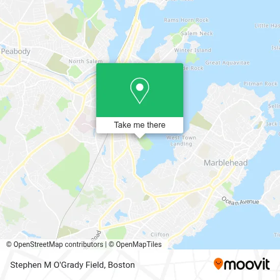
See Stephen M O'Grady Field, Salem, on the map
Public Transit to Stephen M O'Grady Field in Salem
Wondering how to get to Stephen M O'Grady Field in Salem? Moovit helps you find the best way to get to Stephen M O'Grady Field with step-by-step directions from the nearest public transit station.
Moovit provides free maps and live directions to help you navigate through your city. View schedules, routes, timetables, and find out how long does it take to get to Stephen M O'Grady Field in real time.
Looking for the nearest stop or station to Stephen M O'Grady Field? Check out this list of stops closest to your destination: Loring Ave @ Linden St.
Bus: 455.Train: NEWBURYPORT/ROCKPORT.
Want to see if there’s another route that gets you there at an earlier time? Moovit helps you find alternative routes or times. Get directions from and directions to Stephen M O'Grady Field easily from the Moovit App or Website.
We make riding to Stephen M O'Grady Field easy, which is why over 1.7 million users, including users in Salem, trust Moovit as the best app for public transit. You don’t need to download an individual bus app or train app, Moovit is your all-in-one transit app that helps you find the best bus time or train time available.
For information on prices of bus and train, costs and ride fares to Stephen M O'Grady Field, please check the Moovit app.
Use the app to navigate to popular places including to the airport, hospital, stadium, grocery store, mall, coffee shop, school, college, and university.
Stephen M O'Grady Field Address: Forest River Park, 32 Clifton Ave street in Salem
- Salem State University Lafayette Annex,
- Salem State University,
- North Campus SSU,
- Susanna's Custom Design & Alterations,
- Rainbow Terrace Playground,
- South Salem, Massachusetts,
- Essex Management Group,
- Salem State Campus Life And Rec,
- Salem State University Athletics,
- Mei Lee Express,
- South Salem,
- Saleem For Cabinet Making,
- Coinbridge Bitcoin Atm,
- Salem Revival Church,
- Boston Smoke Shop,
- Loring Ave - Jaho Coffee Roaster & Wine Bar,
- Seasons Nails & Spa,
- Dr. Ken Marsh,
- Best Value Transmission And Auto Repair,
- Kissable Paws Pet Salon And Doggie Bakery
Places Near Stephen M O'Grady Field (Salem)
- Mgm Music Hall, Boston,
- Boston Common, Boston,
- Boston Convention & Exhibition Center, Boston,
- Prudential Center, Boston,
- Td Garden, Boston,
- Wilbur Theatre, Boston,
- Isabella Stewart Gardner Museum, Boston,
- Castle Island, Boston,
- Faneuil Hall, Boston,
- Cheers, Boston,
- House Of Blues, Boston,
- Boston Children's Hospital, Boston,
- Wang Theater, Boston,
- North End, Boston,
- Boston Medical Center, Boston,
- Seaport District, Boston,
- Leader Bank Pavilion (Leader Bank Pavillion), Boston,
- Quincy Market, Boston,
- Massachusetts General Hospital, Boston,
- Museum Of Science, Boston
How to get to popular places in Boston with public transit
Get around Salem by public transit!
Traveling around Salem has never been so easy. See step by step directions as you travel to any attraction, street or major public transit station. View bus and train schedules, arrival times, service alerts and detailed routes on a map, so you know exactly how to get to anywhere in Salem.
When traveling to any destination around Salem use Moovit's Live Directions with Get Off Notifications to know exactly where and how far to walk, how long to wait for your line, and how many stops are left. Moovit will alert you when it's time to get off — no need to constantly re-check whether yours is the next stop.
Wondering how to use public transit in Salem or how to pay for public transit in Salem? Moovit public transit app can help you navigate your way with public transit easily, and at minimum cost. It includes public transit fees, ticket prices, and costs. Looking for a map of Salem public transit lines? Moovit public transit app shows all public transit maps in Salem with all Bus, Train, Subway and Ferry routes and stops on an interactive map.
Boston has 4 transit type(s), including: Bus, Train, Subway and Ferry, operated by several transit agencies, including MBTA, Southeastern Regional Transit Authority, MetroWest Regional Transit Authority, Rhode Island Public Transit Authority, WRTA, Lowell Regional Transit Authority, Merrimack Valley Transit, Montachusett Regional Transit Authority, Cape Cod Regional Transit Authority, Brockton Area Transit Authority, Martha's Vineyard Transit Authority, the WAVE - Nantucket Regional Transit Authority, GATRA, Cape Ann Transportation Authority and Massport