Directions to Stifel (Plymouth) with public transportation
The following transit lines have routes that pass near Stifel
 Bus: HYANNIS - SOUTH SHORE TO LOGAN AIRPORT, LIB, ML, FL.
How to get to Stifel by bus?
Click on the bus route to see step by step directions with maps, line arrival times and updated time schedules.
Bus stop near Stifel in Plymouth
- Plymouth Center, 4 min walk,VIEW
What are the closest stations to Stifel?
The closest stations to Stifel are:
- Plymouth Center is 322 yards away, 4 min walk.
Which bus lines stop near Stifel?
These bus lines stop near Stifel: HYANNIS - SOUTH SHORE TO LOGAN AIRPORT, LIB, ML.
What’s the nearest bus station to Stifel in Plymouth?
The nearest bus station to Stifel in Plymouth is Plymouth Center. It’s a 4 min walk away.
What time is the first bus to Stifel in Plymouth?
The FL is the first bus that goes to Stifel in Plymouth. It stops nearby at 7:00 AM.
What time is the last bus to Stifel in Plymouth?
The LIB is the last bus that goes to Stifel in Plymouth. It stops nearby at 6:55 PM.
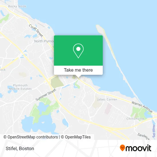
See Stifel, Plymouth, on the map
Public Transit to Stifel in Plymouth
Wondering how to get to Stifel in Plymouth? Moovit helps you find the best way to get to Stifel with step-by-step directions from the nearest public transit station.
Moovit provides free maps and live directions to help you navigate through your city. View schedules, routes, timetables, and find out how long does it take to get to Stifel in real time.
Looking for the nearest stop or station to Stifel? Check out this list of stops closest to your destination: Plymouth Center.
Bus: HYANNIS - SOUTH SHORE TO LOGAN AIRPORT, LIB, ML, FL.
Want to see if there’s another route that gets you there at an earlier time? Moovit helps you find alternative routes or times. Get directions from and directions to Stifel easily from the Moovit App or Website.
We make riding to Stifel easy, which is why over 1.7 million users, including users in Plymouth, trust Moovit as the best app for public transit. You don’t need to download an individual bus app or train app, Moovit is your all-in-one transit app that helps you find the best bus time or train time available.
For information on prices of bus and train, costs and ride fares to Stifel, please check the Moovit app.
Use the app to navigate to popular places including to the airport, hospital, stadium, grocery store, mall, coffee shop, school, college, and university.
Stifel Address: 18 Main Street Ext Ste 303 street in Plymouth
- KJ Media,
- Law Offices of Juliane Soprano,
- Plymouth Ma Discovery Nazarene Church,
- 180 Wellness,
- Peter A Dansereau Attorney,
- Verona Salon,
- Post Office - Plymouth,
- Peter H Beltran Attorney at Law,
- Cornerstone Financial Group LLC.,
- Costa Insurance Agency,
- Polaris Consultants,
- Meadowbrook Counseling,
- Prosperity Financial Planning,
- Mayflower Realty, Inc,
- Spa at John Carver Inn,
- John Carver Inn & Spa (John Carver Plymouth),
- BF Architects,
- Run of the Mill Tavern,
- Vapeway Electronic Cigarettes - Vaporizers,
- WESTERN UNION
Places Near Stifel (Plymouth)
- Massachusetts General Hospital, Boston,
- Quincy Market, Boston,
- Wang Theater, Boston,
- House Of Blues, Boston,
- Leader Bank Pavilion (Leader Bank Pavillion), Boston,
- Boston Medical Center, Boston,
- Museum Of Science, Boston,
- Faneuil Hall, Boston,
- Wilbur Theatre, Boston,
- Isabella Stewart Gardner Museum, Boston,
- Boston Common, Boston,
- Cheers, Boston,
- Td Garden, Boston,
- North End, Boston,
- Castle Island, Boston,
- Mgm Music Hall, Boston,
- Boston Convention & Exhibition Center, Boston,
- Prudential Center, Boston,
- Boston Children's Hospital, Boston,
- Seaport District, Boston
How to get to popular places in Boston with public transit
Get around Plymouth by public transit!
Traveling around Plymouth has never been so easy. See step by step directions as you travel to any attraction, street or major public transit station. View bus and train schedules, arrival times, service alerts and detailed routes on a map, so you know exactly how to get to anywhere in Plymouth.
When traveling to any destination around Plymouth use Moovit's Live Directions with Get Off Notifications to know exactly where and how far to walk, how long to wait for your line, and how many stops are left. Moovit will alert you when it's time to get off — no need to constantly re-check whether yours is the next stop.
Wondering how to use public transit in Plymouth or how to pay for public transit in Plymouth? Moovit public transit app can help you navigate your way with public transit easily, and at minimum cost. It includes public transit fees, ticket prices, and costs. Looking for a map of Plymouth public transit lines? Moovit public transit app shows all public transit maps in Plymouth with all Bus, Train, Subway and Ferry routes and stops on an interactive map.
Boston has 4 transit type(s), including: Bus, Train, Subway and Ferry, operated by several transit agencies, including MBTA, Southeastern Regional Transit Authority, MetroWest Regional Transit Authority, Rhode Island Public Transit Authority, WRTA, Lowell Regional Transit Authority, Merrimack Valley Transit, Montachusett Regional Transit Authority, Cape Cod Regional Transit Authority, Brockton Area Transit Authority, Martha's Vineyard Transit Authority, the WAVE - Nantucket Regional Transit Authority, GATRA, Cape Ann Transportation Authority and Massport