Directions to Stone Hedge Gardens (Boston) with public transportation
The following transit lines have routes that pass near Stone Hedge Gardens
 Bus: 29.
How to get to Stone Hedge Gardens by bus?
Click on the bus route to see step by step directions with maps, line arrival times and updated time schedules.
From St Vincent Hospital TH Medical, Worcester
65 minFrom Polar Park, Worcester
64 minFrom Walmart Supercenter, Worcester
75 minFrom Registry Of Motor Vehicles (Rmv) Branch Office, Worcester
70 minFrom Dcu Center, Worcester
62 minFrom Palladium, Worcester
75 minFrom Saint Vincent Hospital at Worcester Medical Center, Worcester
90 minFrom South High Community School, Worcester
109 minFrom Worcester, MA, Worcester
63 min
Bus stop near Stone Hedge Gardens in Boston
- Rt 20 And Richardson Corner Rd, 16 min walk,VIEW
Bus lines to Stone Hedge Gardens in Boston
- 29, Central Hub,VIEW
What are the closest stations to Stone Hedge Gardens?
The closest stations to Stone Hedge Gardens are:
- Rt 20 And Richardson Corner Rd is 1350 yards away, 16 min walk.
Which bus line stops near Stone Hedge Gardens?
29 (Central Hub→Big Bunny Plaza Southbridge)
What time is the first bus to Stone Hedge Gardens in Boston?
The 29 is the first bus that goes to Stone Hedge Gardens in Boston. It stops nearby at 6:47 AM.
What time is the last bus to Stone Hedge Gardens in Boston?
The 29 is the last bus that goes to Stone Hedge Gardens in Boston. It stops nearby at 6:49 PM.
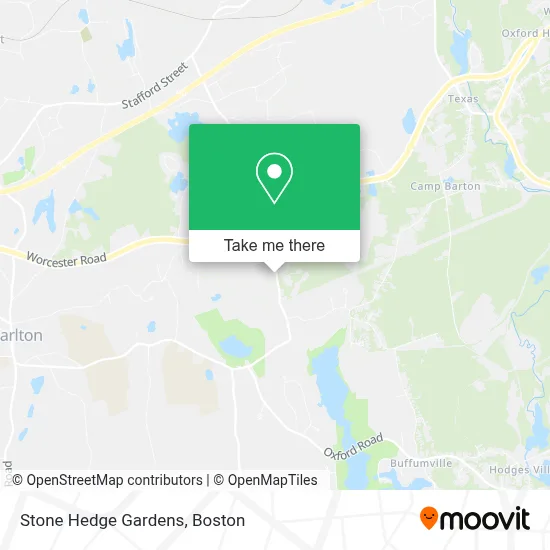
See Stone Hedge Gardens, Boston, on the map
Public Transit to Stone Hedge Gardens in Boston
Wondering how to get to Stone Hedge Gardens in Boston? Moovit helps you find the best way to get to Stone Hedge Gardens with step-by-step directions from the nearest public transit station.
Moovit provides free maps and live directions to help you navigate through your city. View schedules, routes, timetables, and find out how long does it take to get to Stone Hedge Gardens in real time.
Looking for the nearest stop or station to Stone Hedge Gardens? Check out this list of stops closest to your destination: Rt 20 And Richardson Corner Rd.
Bus: 29.
Want to see if there’s another route that gets you there at an earlier time? Moovit helps you find alternative routes or times. Get directions from and directions to Stone Hedge Gardens easily from the Moovit App or Website.
We make riding to Stone Hedge Gardens easy, which is why over 1.7 million users, including users in Boston, trust Moovit as the best app for public transit. You don’t need to download an individual bus app or train app, Moovit is your all-in-one transit app that helps you find the best bus time or train time available.
For information on prices of bus, costs and ride fares to Stone Hedge Gardens, please check the Moovit app.
Use the app to navigate to popular places including to the airport, hospital, stadium, grocery store, mall, coffee shop, school, college, and university.
Stone Hedge Gardens Address: 56 Richardson Corner Rd street in Boston
- Landry Mechanical,
- Classic Solutions,
- Interstate Batteries,
- Interstate Batteries,
- Adt Auto Parts,
- Charlton Real Estate,
- Mister Sparky,
- Worcester Rd + L Stevens Rd,
- Old Lamp Shop,
- Ye Olde Commons,
- Environmental Equipment Sales & Services LLC,
- Lamblight Christian Church,
- Crossfit Charlton,
- Relax Garage Doors,
- Kitas Cleaning Service,
- Rycor Hvac,
- Sunbelt Rentals,
- Larry's Landscape Supplies,
- Get Directions,
- T L Tax Service
Places Near Stone Hedge Gardens (Boston)
- Quincy Market, Boston,
- Boston Convention & Exhibition Center, Boston,
- Prudential Center, Boston,
- House Of Blues, Boston,
- Leader Bank Pavilion (Leader Bank Pavillion), Boston,
- North End, Boston,
- Boston Medical Center, Boston,
- Boston Common, Boston,
- Wang Theater, Boston,
- Seaport District, Boston,
- Museum Of Science, Boston,
- Isabella Stewart Gardner Museum, Boston,
- Td Garden, Boston,
- Massachusetts General Hospital, Boston,
- Cheers, Boston,
- Wilbur Theatre, Boston,
- Faneuil Hall, Boston,
- Castle Island, Boston,
- Boston Children's Hospital, Boston,
- Mgm Music Hall, Boston
How to get to popular places in Boston with public transit
Get around Boston by public transit!
Traveling around Boston has never been so easy. See step by step directions as you travel to any attraction, street or major public transit station. View bus and train schedules, arrival times, service alerts and detailed routes on a map, so you know exactly how to get to anywhere in Boston.
When traveling to any destination around Boston use Moovit's Live Directions with Get Off Notifications to know exactly where and how far to walk, how long to wait for your line, and how many stops are left. Moovit will alert you when it's time to get off — no need to constantly re-check whether yours is the next stop.
Wondering how to use public transit in Boston or how to pay for public transit in Boston? Moovit public transit app can help you navigate your way with public transit easily, and at minimum cost. It includes public transit fees, ticket prices, and costs. Looking for a map of Boston public transit lines? Moovit public transit app shows all public transit maps in Boston with all Bus, Train, Subway and Ferry routes and stops on an interactive map.
Boston has 4 transit type(s), including: Bus, Train, Subway and Ferry, operated by several transit agencies, including MBTA, Southeastern Regional Transit Authority, MetroWest Regional Transit Authority, Rhode Island Public Transit Authority, WRTA, Lowell Regional Transit Authority, Merrimack Valley Transit, Montachusett Regional Transit Authority, Cape Cod Regional Transit Authority, Brockton Area Transit Authority, Martha's Vineyard Transit Authority, the WAVE - Nantucket Regional Transit Authority, GATRA, Cape Ann Transportation Authority and Massport