How to get to Stonehouse Recreations by bus?
Click on the bus route to see step by step directions with maps, line arrival times and updated time schedules.
From Walmart Supercenter, Worcester
196 minFrom Worcester, MA, Worcester
137 minFrom Dcu Center, Worcester
140 minFrom St Vincent Hospital TH Medical, Worcester
138 minFrom Registry Of Motor Vehicles (Rmv) Branch Office, Worcester
141 minFrom South High Community School, Worcester
234 minFrom Polar Park, Worcester
139 minFrom Palladium, Worcester
143 min
Bus stop near Stonehouse Recreations in Boston
- Five Town Plaza, 3 min walk,VIEW
What are the closest stations to Stonehouse Recreations?
The closest stations to Stonehouse Recreations are:
- Five Town Plaza is 182 yards away, 3 min walk.
Which bus line stops near Stonehouse Recreations?
G1 (Five Town Plaza Via Canon)
What’s the nearest bus station to Stonehouse Recreations in Boston?
The nearest bus station to Stonehouse Recreations in Boston is Five Town Plaza. It’s a 3 min walk away.
What time is the first bus to Stonehouse Recreations in Boston?
The G1 is the first bus that goes to Stonehouse Recreations in Boston. It stops nearby at 5:35 AM.
What time is the last bus to Stonehouse Recreations in Boston?
The G1 is the last bus that goes to Stonehouse Recreations in Boston. It stops nearby at 9:40 PM.
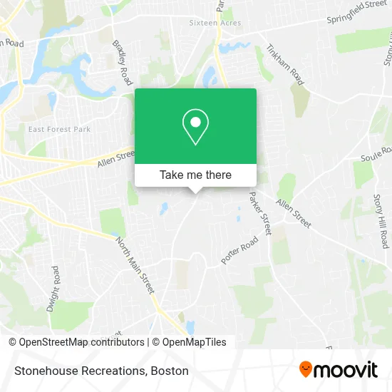
See Stonehouse Recreations, Boston, on the map
Public Transit to Stonehouse Recreations in Boston
Wondering how to get to Stonehouse Recreations in Boston? Moovit helps you find the best way to get to Stonehouse Recreations with step-by-step directions from the nearest public transit station.
Moovit provides free maps and live directions to help you navigate through your city. View schedules, routes, timetables, and find out how long does it take to get to Stonehouse Recreations in real time.
Looking for the nearest stop or station to Stonehouse Recreations? Check out this list of stops closest to your destination: Five Town Plaza.
Bus: G1, X94.
Want to see if there’s another route that gets you there at an earlier time? Moovit helps you find alternative routes or times. Get directions from and directions to Stonehouse Recreations easily from the Moovit App or Website.
We make riding to Stonehouse Recreations easy, which is why over 1.7 million users, including users in Boston, trust Moovit as the best app for public transit. You don’t need to download an individual bus app or train app, Moovit is your all-in-one transit app that helps you find the best bus time or train time available.
For information on prices of bus, costs and ride fares to Stonehouse Recreations, please check the Moovit app.
Use the app to navigate to popular places including to the airport, hospital, stadium, grocery store, mall, coffee shop, school, college, and university.
Stonehouse Recreations Address: 388 Elm St street in Boston
- J&E Roof Systems,
- East Brook Landscaping,
- Perez Wanda,
- Lioness Group,
- Kathy Buckley,
- Guidewire,
- Saint Patricks Church,
- Big Y Market,
- USPS Collection Box - Blue Box,
- Amazon Locker-Duder,
- Joe's Kwik Mart,
- Red Stone Lake,
- 450 Cooley St Parking,
- Re Roofs & Roofing Co Roofing,
- Navy Federal Credit Union,
- Jeffrey E Sexton, Jr - TD Wealth Financial Advisor,
- Pine Knoll Recreation Area,
- Coinstar,
- Adt,
- P C Warehouse
Places Near Stonehouse Recreations (Boston)
- Mgm Music Hall, Boston,
- House Of Blues, Boston,
- Boston Convention & Exhibition Center, Boston,
- Seaport District, Boston,
- North End, Boston,
- Boston Medical Center, Boston,
- Wilbur Theatre, Boston,
- Castle Island, Boston,
- Isabella Stewart Gardner Museum, Boston,
- Boston Children's Hospital, Boston,
- Massachusetts General Hospital, Boston,
- Quincy Market, Boston,
- Leader Bank Pavilion (Leader Bank Pavillion), Boston,
- Cheers, Boston,
- Prudential Center, Boston,
- Museum Of Science, Boston,
- Td Garden, Boston,
- Boston Common, Boston,
- Faneuil Hall, Boston,
- Wang Theater, Boston
How to get to popular places in Boston with public transit
Get around Boston by public transit!
Traveling around Boston has never been so easy. See step by step directions as you travel to any attraction, street or major public transit station. View bus and train schedules, arrival times, service alerts and detailed routes on a map, so you know exactly how to get to anywhere in Boston.
When traveling to any destination around Boston use Moovit's Live Directions with Get Off Notifications to know exactly where and how far to walk, how long to wait for your line, and how many stops are left. Moovit will alert you when it's time to get off — no need to constantly re-check whether yours is the next stop.
Wondering how to use public transit in Boston or how to pay for public transit in Boston? Moovit public transit app can help you navigate your way with public transit easily, and at minimum cost. It includes public transit fees, ticket prices, and costs. Looking for a map of Boston public transit lines? Moovit public transit app shows all public transit maps in Boston with all Bus, Train, Subway and Ferry routes and stops on an interactive map.
Boston has 4 transit type(s), including: Bus, Train, Subway and Ferry, operated by several transit agencies, including MBTA, Southeastern Regional Transit Authority, MetroWest Regional Transit Authority, Rhode Island Public Transit Authority, WRTA, Lowell Regional Transit Authority, Merrimack Valley Transit, Montachusett Regional Transit Authority, Cape Cod Regional Transit Authority, Brockton Area Transit Authority, Martha's Vineyard Transit Authority, the WAVE - Nantucket Regional Transit Authority, GATRA, Cape Ann Transportation Authority and Massport