Directions to Stop + Wash Laundry (Boston) with public transportation
The following transit lines have routes that pass near Stop + Wash Laundry
 Bus: 55, 57.
- Train: ACELA, NORTHEAST REGIONAL, PROVIDENCE LINE SHUTTLE, PROVIDENCE LINE SHUTTLE, PROVIDENCE LINE SHUTTLE.
How to get to Stop + Wash Laundry by bus?
Click on the bus route to see step by step directions with maps, line arrival times and updated time schedules.
Bus stops near Stop + Wash Laundry in Boston
Train stations near Stop + Wash Laundry in Boston
- Providence, 38 min walk,VIEW
What are the closest stations to Stop + Wash Laundry?
The closest stations to Stop + Wash Laundry are:
- High Service Opposite Worcester is 13 yards away, 1 min walk.
- Smith After Dearborn is 269 yards away, 4 min walk.
- Providence is 3253 yards away, 39 min walk.
Which bus lines stop near Stop + Wash Laundry?
These bus lines stop near Stop + Wash Laundry: 55, 57.
What’s the nearest bus station to Stop + Wash Laundry in Boston?
The nearest bus station to Stop + Wash Laundry in Boston is High Service Opposite Worcester. It’s a 1 min walk away.
What time is the first train to Stop + Wash Laundry in Boston?
The PROVIDENCE/STOUGHTON is the first train that goes to Stop + Wash Laundry in Boston. It stops nearby at 4:10 AM.
What time is the last train to Stop + Wash Laundry in Boston?
The NORTHEAST REGIONAL is the last train that goes to Stop + Wash Laundry in Boston. It stops nearby at 9:17 AM.
What time is the first bus to Stop + Wash Laundry in Boston?
The 55 is the first bus that goes to Stop + Wash Laundry in Boston. It stops nearby at 5:26 AM.
What time is the last bus to Stop + Wash Laundry in Boston?
The 57 is the last bus that goes to Stop + Wash Laundry in Boston. It stops nearby at 10:36 PM.
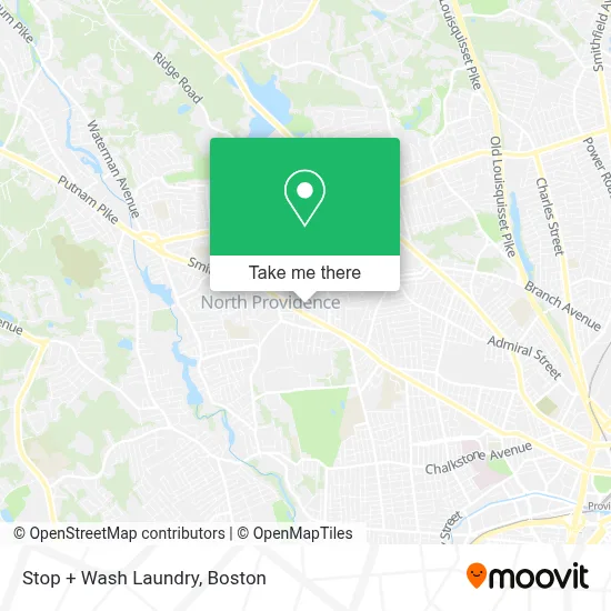
See Stop + Wash Laundry, Boston, on the map
Public Transit to Stop + Wash Laundry in Boston
Wondering how to get to Stop + Wash Laundry in Boston? Moovit helps you find the best way to get to Stop + Wash Laundry with step-by-step directions from the nearest public transit station.
Moovit provides free maps and live directions to help you navigate through your city. View schedules, routes, timetables, and find out how long does it take to get to Stop + Wash Laundry in real time.
Looking for the nearest stop or station to Stop + Wash Laundry? Check out this list of stops closest to your destination: High Service Opposite Worcester; Smith After Dearborn; Providence.
Bus: 55, 57.Train: ACELA, NORTHEAST REGIONAL, PROVIDENCE LINE SHUTTLE, PROVIDENCE LINE SHUTTLE, PROVIDENCE LINE SHUTTLE, FOXBORO EVENT SERVICE, PROVIDENCE/STOUGHTON.
Want to see if there’s another route that gets you there at an earlier time? Moovit helps you find alternative routes or times. Get directions from and directions to Stop + Wash Laundry easily from the Moovit App or Website.
We make riding to Stop + Wash Laundry easy, which is why over 1.7 million users, including users in Boston, trust Moovit as the best app for public transit. You don’t need to download an individual bus app or train app, Moovit is your all-in-one transit app that helps you find the best bus time or train time available.
For information on prices of bus and train, costs and ride fares to Stop + Wash Laundry, please check the Moovit app.
Use the app to navigate to popular places including to the airport, hospital, stadium, grocery store, mall, coffee shop, school, college, and university.
Stop + Wash Laundry Address: 1525 Smith St street in Boston
- Youfit Gyms,
- Dulce Bunny,
- Papa John's,
- Sandee's Market & Deli,
- North Providence Refresh Roofing,
- Pappas Pt North Provi,
- Wonder House of Faith Ministries,
- Macmillan Joann,
- Rebecca E. Dupras, Attorney at Law,
- Behind the Wheel & Beyond,
- Carmine's,
- North Providence Ri Locksmith Shop,
- All About the Look,
- Hampton Locksmith,
- Patriot Roofing,
- Angels for PKD,
- Jason Robert Lecla,
- New Hope Community Church,
- Murray's Auto Body,
- Elgin Locksmith
Places Near Stop + Wash Laundry (Boston)
- Quincy Market, Boston,
- Boston Convention & Exhibition Center, Boston,
- Prudential Center, Boston,
- House Of Blues, Boston,
- Leader Bank Pavilion (Leader Bank Pavillion), Boston,
- North End, Boston,
- Boston Medical Center, Boston,
- Boston Common, Boston,
- Wang Theater, Boston,
- Seaport District, Boston,
- Museum Of Science, Boston,
- Isabella Stewart Gardner Museum, Boston,
- Td Garden, Boston,
- Massachusetts General Hospital, Boston,
- Cheers, Boston,
- Wilbur Theatre, Boston,
- Faneuil Hall, Boston,
- Castle Island, Boston,
- Boston Children's Hospital, Boston,
- Mgm Music Hall, Boston
How to get to popular places in Boston with public transit
Get around Boston by public transit!
Traveling around Boston has never been so easy. See step by step directions as you travel to any attraction, street or major public transit station. View bus and train schedules, arrival times, service alerts and detailed routes on a map, so you know exactly how to get to anywhere in Boston.
When traveling to any destination around Boston use Moovit's Live Directions with Get Off Notifications to know exactly where and how far to walk, how long to wait for your line, and how many stops are left. Moovit will alert you when it's time to get off — no need to constantly re-check whether yours is the next stop.
Wondering how to use public transit in Boston or how to pay for public transit in Boston? Moovit public transit app can help you navigate your way with public transit easily, and at minimum cost. It includes public transit fees, ticket prices, and costs. Looking for a map of Boston public transit lines? Moovit public transit app shows all public transit maps in Boston with all Bus, Train, Subway and Ferry routes and stops on an interactive map.
Boston has 4 transit type(s), including: Bus, Train, Subway and Ferry, operated by several transit agencies, including MBTA, Southeastern Regional Transit Authority, MetroWest Regional Transit Authority, Rhode Island Public Transit Authority, WRTA, Lowell Regional Transit Authority, Merrimack Valley Transit, Montachusett Regional Transit Authority, Cape Cod Regional Transit Authority, Brockton Area Transit Authority, Martha's Vineyard Transit Authority, the WAVE - Nantucket Regional Transit Authority, GATRA, Cape Ann Transportation Authority and Massport