Directions to Stratton Hill (245m) (Worcester) with public transportation
The following transit lines have routes that pass near Stratton Hill (245m)
 Bus: 14, 30, CLINTON-WORCESTER COMMUTER SHUTTLE, 31.
How to get to Stratton Hill (245m) by bus?
Click on the bus route to see step by step directions with maps, line arrival times and updated time schedules.
From Umass Memorial Medical Center - University Campus, Worcester
62 minFrom Dcu Center, Worcester
36 minFrom South High Community School, Worcester
70 minFrom Worcester, MA, Worcester
39 minFrom Clinton, Massachusetts, Clinton
37 minFrom St Vincent Hospital TH Medical, Worcester
34 minFrom Palladium, Worcester
37 minFrom Walmart Supercenter, Worcester
66 min
Bus stops near Stratton Hill (245m) in Worcester
Bus lines to Stratton Hill (245m) in Worcester
What are the closest stations to Stratton Hill (245m)?
The closest stations to Stratton Hill (245m) are:
- Porter & Chester Institute (Worcester) is 886 yards away, 12 min walk.
- Price Chopper Pulman St is 911 yards away, 12 min walk.
- West Boylston St + Vendora Rd is 1219 yards away, 16 min walk.
Which bus lines stop near Stratton Hill (245m)?
These bus lines stop near Stratton Hill (245m): 14, 30, CLINTON-WORCESTER COMMUTER SHUTTLE.
What’s the nearest bus station to Stratton Hill (245m) in Worcester?
The nearest bus stations to Stratton Hill (245m) in Worcester are Porter & Chester Institute (Worcester) and Price Chopper Pulman St. The closest one is a 12 min walk away.
What time is the first bus to Stratton Hill (245m) in Worcester?
The 30 is the first bus that goes to Stratton Hill (245m) in Worcester. It stops nearby at 6:08 AM.
What time is the last bus to Stratton Hill (245m) in Worcester?
The 30 is the last bus that goes to Stratton Hill (245m) in Worcester. It stops nearby at 10:28 PM.
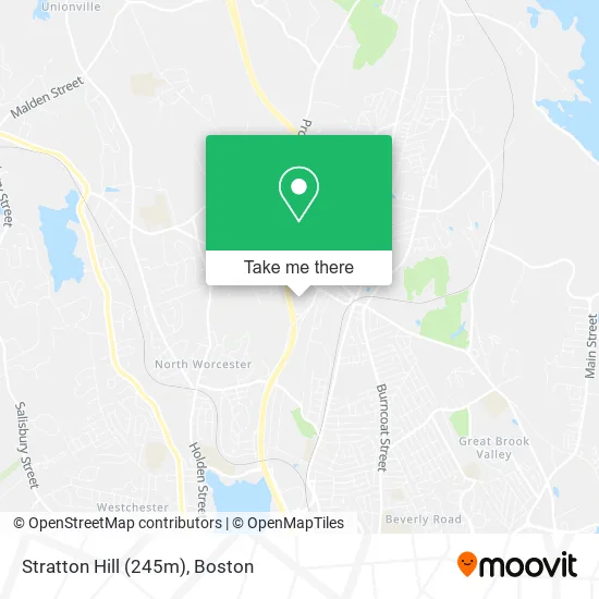
See Stratton Hill (245m), Worcester, on the map
Public Transit to Stratton Hill (245m) in Worcester
Wondering how to get to Stratton Hill (245m) in Worcester? Moovit helps you find the best way to get to Stratton Hill (245m) with step-by-step directions from the nearest public transit station.
Moovit provides free maps and live directions to help you navigate through your city. View schedules, routes, timetables, and find out how long does it take to get to Stratton Hill (245m) in real time.
Looking for the nearest stop or station to Stratton Hill (245m)? Check out this list of stops closest to your destination: Porter & Chester Institute (Worcester); Price Chopper Pulman St; West Boylston St + Vendora Rd.
Bus: 14, 30, CLINTON-WORCESTER COMMUTER SHUTTLE, 31.
Want to see if there’s another route that gets you there at an earlier time? Moovit helps you find alternative routes or times. Get directions from and directions to Stratton Hill (245m) easily from the Moovit App or Website.
We make riding to Stratton Hill (245m) easy, which is why over 1.5 million users, including users in Worcester, trust Moovit as the best app for public transit. You don’t need to download an individual bus app or train app, Moovit is your all-in-one transit app that helps you find the best bus time or train time available.
For information on prices of bus, costs and ride fares to Stratton Hill (245m), please check the Moovit app.
Use the app to navigate to popular places including to the airport, hospital, stadium, grocery store, mall, coffee shop, school, college, and university.
Stratton Hill (245m) Address: Worcester, MA 01606 street in Worcester
- Stratton Hill,
- Sullivan Pest Control,
- Entrance I-190 N,
- A Cut Above Carpentry,
- Midnight Oil Company of Worcester,
- Intoxalock Ignition Interlock,
- Hyperactive Efx,
- Pullman St Locksmith Co,
- Punch Line Products,
- Dogtopia,
- Punch Line Products,
- Mrs B's Preschool & Kindergarten,
- Aquatek Filtration & Pump,
- NTW - National Tire Wholesale,
- Platinum Performance,
- Quality Fence,
- Horace Mann Educational Associates,
- Auto Locksmith Near Me 01746,
- Peterson Steel Corporation,
- Little Friends Day Care
Places Near Stratton Hill (245m) (Worcester)
- Td Garden, Boston,
- Quincy Market, Boston,
- Boston Convention & Exhibition Center, Boston,
- Isabella Stewart Gardner Museum, Boston,
- House Of Blues, Boston,
- Wang Theater, Boston,
- Leader Bank Pavilion (Leader Bank Pavillion), Boston,
- Massachusetts General Hospital, Boston,
- Boston Common, Boston,
- Castle Island, Boston,
- Wilbur Theatre, Boston,
- Prudential Center, Boston,
- Seaport District, Boston,
- Museum Of Science, Boston,
- Boston Children's Hospital, Boston,
- Mgm Music Hall, Boston,
- North End, Boston,
- Faneuil Hall, Boston,
- Boston Medical Center, Boston,
- Cheers, Boston
How to get to popular places in Boston with public transit
Get around Worcester by public transit!
Traveling around Worcester has never been so easy. See step by step directions as you travel to any attraction, street or major public transit station. View bus and train schedules, arrival times, service alerts and detailed routes on a map, so you know exactly how to get to anywhere in Worcester.
When traveling to any destination around Worcester use Moovit's Live Directions with Get Off Notifications to know exactly where and how far to walk, how long to wait for your line, and how many stops are left. Moovit will alert you when it's time to get off — no need to constantly re-check whether yours is the next stop.
Wondering how to use public transit in Worcester or how to pay for public transit in Worcester? Moovit public transit app can help you navigate your way with public transit easily, and at minimum cost. It includes public transit fees, ticket prices, and costs. Looking for a map of Worcester public transit lines? Moovit public transit app shows all public transit maps in Worcester with all Bus, Train, Subway and Ferry routes and stops on an interactive map.
Boston has 4 transit type(s), including: Bus, Train, Subway and Ferry, operated by several transit agencies, including MBTA, Southeastern Regional Transit Authority, MetroWest Regional Transit Authority, Rhode Island Public Transit Authority, WRTA, Lowell Regional Transit Authority, Merrimack Valley Transit, Montachusett Regional Transit Authority, Cape Cod Regional Transit Authority, Brockton Area Transit Authority, Martha's Vineyard Transit Authority, the WAVE - Nantucket Regional Transit Authority, GATRA, Cape Ann Transportation Authority and Massport