How to get to Subway by bus?
Click on the bus route to see step by step directions with maps, line arrival times and updated time schedules.
From Walmart, Quincy
50 minFrom Hingham, MA, Hingham
104 minFrom Brockton, MA, Brockton
153 minFrom Massasoit Community College, Brockton
156 minFrom Quincy Market, Quincy
57 minFrom Archbishop Williams High School, Braintree Town
57 minFrom Quincy, MA, Quincy
59 minFrom Granite Links Golf Club at Quarry Hills, Quincy
106 min
How to get to Subway by train?
Click on the train route to see step by step directions with maps, line arrival times and updated time schedules.
Bus stop near Subway in Weymouth Town
- Pleasant St @ Main St, 3 min walk,VIEW
Train station near Subway in Weymouth Town
- South Weymouth, 14 min walk,VIEW
Bus lines to Subway in Weymouth Town
- 226, Columbian Square,VIEW
What are the closest stations to Subway?
The closest stations to Subway are:
- Pleasant St @ Main St is 207 yards away, 3 min walk.
- South Weymouth is 1120 yards away, 14 min walk.
Which bus lines stop near Subway?
These bus lines stop near Subway: 222, 226.
Which train line stops near Subway?
KINGSTON (#1017 | Kingston)
What’s the nearest train station to Subway in Weymouth Town?
The nearest train station to Subway in Weymouth Town is South Weymouth. It’s a 14 min walk away.
What’s the nearest bus station to Subway in Weymouth Town?
The nearest bus station to Subway in Weymouth Town is Pleasant St @ Main St. It’s a 3 min walk away.
What time is the first train to Subway in Weymouth Town?
The KINGSTON is the first train that goes to Subway in Weymouth Town. It stops nearby at 5:27 AM.
What time is the last train to Subway in Weymouth Town?
The KINGSTON is the last train that goes to Subway in Weymouth Town. It stops nearby at 12:32 AM.
What time is the first bus to Subway in Weymouth Town?
The 226 is the first bus that goes to Subway in Weymouth Town. It stops nearby at 6:00 AM.
What time is the last bus to Subway in Weymouth Town?
The 226 is the last bus that goes to Subway in Weymouth Town. It stops nearby at 11:32 PM.
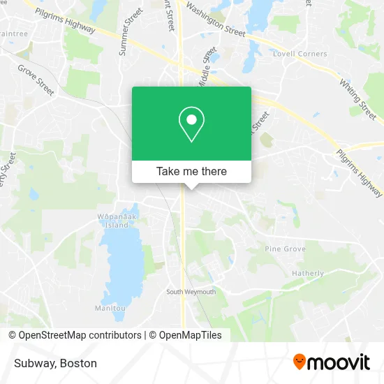
See Subway, Weymouth Town, on the map
Public Transit to Subway in Weymouth Town
Wondering how to get to Subway in Weymouth Town? Moovit helps you find the best way to get to Subway with step-by-step directions from the nearest public transit station.
Moovit provides free maps and live directions to help you navigate through your city. View schedules, routes, timetables, and find out how long does it take to get to Subway in real time.
Looking for the nearest stop or station to Subway? Check out this list of stops closest to your destination: Pleasant St @ Main St; South Weymouth.
Bus: 222, 226.Train: KINGSTON.
Want to see if there’s another route that gets you there at an earlier time? Moovit helps you find alternative routes or times. Get directions from and directions to Subway easily from the Moovit App or Website.
We make riding to Subway easy, which is why over 1.7 million users, including users in Weymouth Town, trust Moovit as the best app for public transit. You don’t need to download an individual bus app or train app, Moovit is your all-in-one transit app that helps you find the best bus time or train time available.
For information on prices of bus, train and subway, costs and ride fares to Subway, please check the Moovit app.
Use the app to navigate to popular places including to the airport, hospital, stadium, grocery store, mall, coffee shop, school, college, and university.
Subway Address: 35 Pleasant Street, Suite 5, Store #10 street in Weymouth Town
- Qdoba,
- Qdoba Mexican Eats,
- Cvs Pharmacy,
- The Joint Chiropractic,
- Qdoba Mexican Eats,
- Bitcoin Atm Teller South Weymouth - Coinhub,
- Vetco Vaccination Clinic,
- Baya Bar - Acai & Smoothie Shop,
- Baya Bar - Acai & Smoothie Shop,
- Vetcoclinics,
- Whole Foods Market,
- Santander Bank Branch,
- Pico,
- Ups Access Point Location,
- Bank Of America Atm,
- Five Guys,
- STARBUCKS,
- Gaslight Village Dog Park,
- Priority Std Testing S. Weymouth,
- Atm Walgreens
Places Near Subway (Weymouth Town)
- North End, Boston,
- Wilbur Theatre, Boston,
- Boston Medical Center, Boston,
- Td Garden, Boston,
- Boston Children's Hospital, Boston,
- Seaport District, Boston,
- Museum Of Science, Boston,
- Faneuil Hall, Boston,
- House Of Blues, Boston,
- Cheers, Boston,
- Prudential Center, Boston,
- Boston Convention & Exhibition Center, Boston,
- Castle Island, Boston,
- Mgm Music Hall, Boston,
- Massachusetts General Hospital, Boston,
- Isabella Stewart Gardner Museum, Boston,
- Wang Theater, Boston,
- Quincy Market, Boston,
- Boston Common, Boston,
- Leader Bank Pavilion (Leader Bank Pavillion), Boston
How to get to popular places in Boston with public transit
Get around Weymouth Town by public transit!
Traveling around Weymouth Town has never been so easy. See step by step directions as you travel to any attraction, street or major public transit station. View bus and train schedules, arrival times, service alerts and detailed routes on a map, so you know exactly how to get to anywhere in Weymouth Town.
When traveling to any destination around Weymouth Town use Moovit's Live Directions with Get Off Notifications to know exactly where and how far to walk, how long to wait for your line, and how many stops are left. Moovit will alert you when it's time to get off — no need to constantly re-check whether yours is the next stop.
Wondering how to use public transit in Weymouth Town or how to pay for public transit in Weymouth Town? Moovit public transit app can help you navigate your way with public transit easily, and at minimum cost. It includes public transit fees, ticket prices, and costs. Looking for a map of Weymouth Town public transit lines? Moovit public transit app shows all public transit maps in Weymouth Town with all Bus, Train, Subway and Ferry routes and stops on an interactive map.
Boston has 4 transit type(s), including: Bus, Train, Subway and Ferry, operated by several transit agencies, including MBTA, Southeastern Regional Transit Authority, MetroWest Regional Transit Authority, Rhode Island Public Transit Authority, WRTA, Lowell Regional Transit Authority, Merrimack Valley Transit, Montachusett Regional Transit Authority, Cape Cod Regional Transit Authority, Brockton Area Transit Authority, Martha's Vineyard Transit Authority, the WAVE - Nantucket Regional Transit Authority, GATRA, Cape Ann Transportation Authority and Massport