How to get to Sugar Plum Bakery by bus?
Click on the bus route to see step by step directions with maps, line arrival times and updated time schedules.
How to get to Sugar Plum Bakery by train?
Click on the train route to see step by step directions with maps, line arrival times and updated time schedules.
Bus stop near Sugar Plum Bakery in Kingston
- Tura's Pharmacy, 2 min walk,VIEW
Train station near Sugar Plum Bakery in Kingston
- Kingston, 48 min walk,VIEW
Bus lines to Sugar Plum Bakery in Kingston
- SAI, Island Creek,VIEW
What are the closest stations to Sugar Plum Bakery?
The closest stations to Sugar Plum Bakery are:
- Tura's Pharmacy is 125 yards away, 2 min walk.
- Kingston is 4086 yards away, 48 min walk.
Which bus line stops near Sugar Plum Bakery?
SAI (Shop/Kohl's→Kingston Collection)
Which train line stops near Sugar Plum Bakery?
KINGSTON (#1017 | Kingston)
What’s the nearest bus station to Sugar Plum Bakery in Kingston?
The nearest bus station to Sugar Plum Bakery in Kingston is Tura's Pharmacy. It’s a 2 min walk away.
What time is the first train to Sugar Plum Bakery in Kingston?
The KINGSTON is the first train that goes to Sugar Plum Bakery in Kingston. It stops nearby at 5:00 AM.
What time is the last train to Sugar Plum Bakery in Kingston?
The KINGSTON is the last train that goes to Sugar Plum Bakery in Kingston. It stops nearby at 1:02 AM.
What time is the first bus to Sugar Plum Bakery in Kingston?
The SAI is the first bus that goes to Sugar Plum Bakery in Kingston. It stops nearby at 6:50 AM.
What time is the last bus to Sugar Plum Bakery in Kingston?
The SAI is the last bus that goes to Sugar Plum Bakery in Kingston. It stops nearby at 6:59 PM.
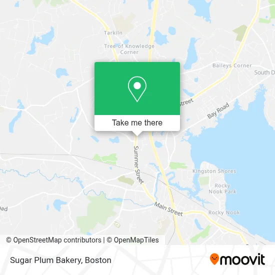
See Sugar Plum Bakery, Kingston, on the map
Public Transit to Sugar Plum Bakery in Kingston
Wondering how to get to Sugar Plum Bakery in Kingston? Moovit helps you find the best way to get to Sugar Plum Bakery with step-by-step directions from the nearest public transit station.
Moovit provides free maps and live directions to help you navigate through your city. View schedules, routes, timetables, and find out how long does it take to get to Sugar Plum Bakery in real time.
Looking for the nearest stop or station to Sugar Plum Bakery? Check out this list of stops closest to your destination: Tura's Pharmacy; Kingston.
Bus: SAI.Train: KINGSTON.
Want to see if there’s another route that gets you there at an earlier time? Moovit helps you find alternative routes or times. Get directions from and directions to Sugar Plum Bakery easily from the Moovit App or Website.
We make riding to Sugar Plum Bakery easy, which is why over 1.7 million users, including users in Kingston, trust Moovit as the best app for public transit. You don’t need to download an individual bus app or train app, Moovit is your all-in-one transit app that helps you find the best bus time or train time available.
For information on prices of train and bus, costs and ride fares to Sugar Plum Bakery, please check the Moovit app.
Use the app to navigate to popular places including to the airport, hospital, stadium, grocery store, mall, coffee shop, school, college, and university.
Sugar Plum Bakery Address: 161 Summer St street in Kingston
- Victoria Rose Skin Care & Boutique,
- Malvern Welding,
- Kingston Garage Door,
- Allstate Insurance,
- Harris and Son Plastering,
- B's Ice Cream,
- ATM,
- Summer Hill Plaza,
- Moonlight Sweets,
- Pawz Doggie Daycare,
- Duxbury Dogs,
- Mayflower Cabinets,
- Peterson Hans Building & Restoration,
- Marcus,
- Bank of America,
- Cali's Tanning Club,
- Athletic Republic,
- Music Unlimited,
- VERC,
- Premier Jewelers
Places Near Sugar Plum Bakery (Kingston)
- North End, Boston,
- Wilbur Theatre, Boston,
- Boston Medical Center, Boston,
- Td Garden, Boston,
- Boston Children's Hospital, Boston,
- Seaport District, Boston,
- Museum Of Science, Boston,
- Faneuil Hall, Boston,
- House Of Blues, Boston,
- Cheers, Boston,
- Prudential Center, Boston,
- Boston Convention & Exhibition Center, Boston,
- Castle Island, Boston,
- Mgm Music Hall, Boston,
- Massachusetts General Hospital, Boston,
- Isabella Stewart Gardner Museum, Boston,
- Wang Theater, Boston,
- Quincy Market, Boston,
- Boston Common, Boston,
- Leader Bank Pavilion (Leader Bank Pavillion), Boston
How to get to popular places in Boston with public transit
Get around Kingston by public transit!
Traveling around Kingston has never been so easy. See step by step directions as you travel to any attraction, street or major public transit station. View bus and train schedules, arrival times, service alerts and detailed routes on a map, so you know exactly how to get to anywhere in Kingston.
When traveling to any destination around Kingston use Moovit's Live Directions with Get Off Notifications to know exactly where and how far to walk, how long to wait for your line, and how many stops are left. Moovit will alert you when it's time to get off — no need to constantly re-check whether yours is the next stop.
Wondering how to use public transit in Kingston or how to pay for public transit in Kingston? Moovit public transit app can help you navigate your way with public transit easily, and at minimum cost. It includes public transit fees, ticket prices, and costs. Looking for a map of Kingston public transit lines? Moovit public transit app shows all public transit maps in Kingston with all Bus, Train, Subway and Ferry routes and stops on an interactive map.
Boston has 4 transit type(s), including: Bus, Train, Subway and Ferry, operated by several transit agencies, including MBTA, Southeastern Regional Transit Authority, MetroWest Regional Transit Authority, Rhode Island Public Transit Authority, WRTA, Lowell Regional Transit Authority, Merrimack Valley Transit, Montachusett Regional Transit Authority, Cape Cod Regional Transit Authority, Brockton Area Transit Authority, Martha's Vineyard Transit Authority, the WAVE - Nantucket Regional Transit Authority, GATRA, Cape Ann Transportation Authority and Massport